Web Banner_728x90px GW website -27May2021.png

Home > Settings > Archives > October 2020 > Regional Geospatial Youth Forum 2021
For the best user experience, it is recommended that this page be viewed on a desktop.

Regional Geospatial Youth Forum 2021

RGYF-logo.png
The Regional Geospatial Youth Forum (RGYF), held in conjunction with the Singapore Geospatial Festival 2021 #SgGeoFest, aims to build interest, awareness and a community around geospatial professionals among youths in Singapore and ASEAN. Focusing on three key principles - Innovate, Inspire and Collaborate - the RGYF brings youths together to learn from one another and share their geospatial experiences. The ASEAN Geospatial Challenge (AGC) 2022 was launched during the event. 
3 pillars .png
GeoEducation
GeoEducation


GeoInnovation
GeoInnovation

GeoInspire
GeoInspire


rgyflogo.png
Agenda

* Please note that all times are in GMT +8
11 am to 12 pm

GeoInspire.png
Regional Geospatial Youth Forum: GeoInspire I
Immerse into the career journey of young geospatial professionals from various backgrounds & hear their personal experiences in applying geospatial to real world challenges.


Prof Perrine edited.png
Jinal Grab .png Kristine - edited.png SongYu - URA cropped.png Jamie Simpson - edited.png
Moderator 
Asst Prof Perrine Hamel
Assistant Professor
Asian School of the Environment
Nanyang Technological University

 Jinal Foflia
Lead Program Manager, Geo
Grab
  
Kristine Juvel Zayco
Senior Sales Engineer
Leica Geosystems Pte. Ltd
 
Wang Songyu
Executive Data Scientist
Design and Planning Lab
Urban Redevelopment Authority
 
Jamie Simpson
Pursuing Doctor of Philosophy (Science)
University of Sydney 
NTU logo.png Grab logo.png hexagon logo.png URA logo.png University_of_Sydney1.png
12 pm to 1 pm

GeoInspire.png
Regional Geospatial Youth Forum: GeoInspire II
ASEAN Geospatial Challenge 2021 winners' presentation
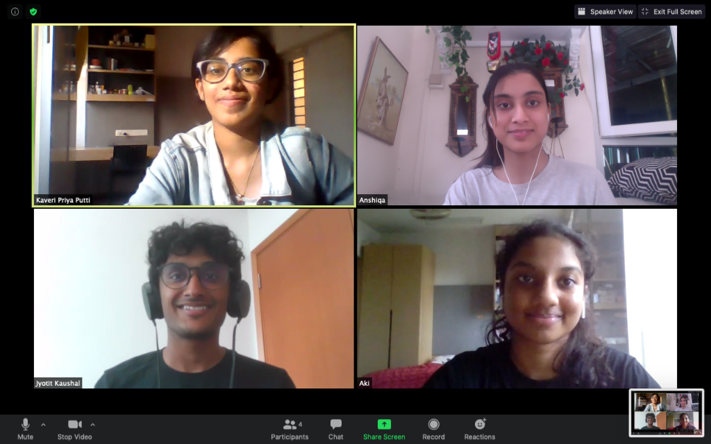
Watch the winning teams from the ASEAN Geospatial Challenge 2021 share their experiences participating at the challenge. The ASEAN Geospatial Challenge 2021: Geospatial Youth Edition (AGC 21) brought youth in the ASEAN region together to use geospatial technology and information to support nations in achieving their Sustainable Development Goals. Targeted at students from Institutes of Higher Learning (IHLs) in the ASEAN region, the challenge aimed to: 
            • Cultivate good relationships and collaborations among the youth in ASEAN
            • Elevate geospatial competencies and facilitate knowledge sharing
            • Raise interest in the geospatial field
rgyflogo copy.png
Winning Teams
Distinction Award
MapBeks Team.jpg
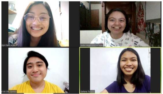
Team: MapBeks from UP Diliman and Polytechnic University of the Philippines - San Juan (Philippines)
Project: MapBeks’ HIV and Support Facilities Mapping project aims to augment the country’s HIV and AIDS programme by creating an up-to-date, validated map consolidating all government and private facilities that offer HIV services.

Excellence Awards
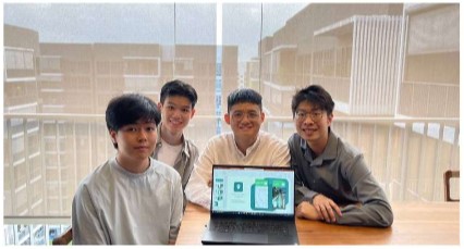
SusCo Tech from SUTD 
(Singapore)
GEO-AID from University of the Philippines Los Baños
(Philippines)

SYT2 from
SMU, SIT, SIM and SUSS
(Singapore)

Team Susco.png Team GEO Aid.jpg
Team SYT2.jpg


SusCo Tech’s solution tackles the challenges of harnessing renewable energy in different communities, defined by geographical zones.


Project GEO-AID is a Geospatial Database Crowdfunding Application Development that aims to address SDG 1 (end poverty in all its forms everywhere) with an interactive map system. 

This project aims to empower wheelchair users to live independently and confidently and is aligned with SDG11 to foster the integration of an inclusive society within cities and communities.


2 pm to 3 pm

GeoEducation.png
Regional Geospatial Youth Forum: GeoEducation I
Interact with academics to learn about geospatial education in ASEAN institutions, career opportunities and how the fourth industrial revolution has transformed geospatial.


Josef New Photo_cropped.png Prof Chalermchon - edited.png Wang Yi Chen.png Suelynn - edited.png Saibal-edited.png
Moderator
Josef Tan
Lead Specialist
Geography, Curriculum Planning and Development Division
Ministry of Education
Singapore

Professor Chalermchon Satirapod
Professor & Head
Department of Survey
Engineering

Faculty of Engineering
Chulalongkorn University
Thailand


Dr Wang Yi-Chen
Associate Professor
National University of Singapore


Suelynn Choy
Professor of Geospatial Science and Satellite Navigation
Director, RMIT Satellite Positioning for Atmosphere, Climate and Environment (SPACE) Research Centre
Royal Melbourne Institute of Technology (RMIT) University
Australia

Saibal D. Chowdhury
CEO and Co-Founder
Urbanetic
MOE logo.png
Chula Engineering logo.png

NUS logo.png

RMIT logo.png

Urbanetic logo.png
3 pm to 4 pm
GeoEducation.png
Regional Geospatial Youth Forum: GeoEducation II
Geospatial data analysis using open source tools
The use of QGIS, Python and R for geoanalytics.


LI HengShan.png
Li Hengshan
Technical Manager
Singapore Land Authority


sla logo.jpg
Lee Kim Haw edited.png
Lee Kim Haw
Technical Manager
Singapore Land Authority


sla logo.jpg
Dr Kam.png
Dr Kam Tin Seong
Associate Professor of Information Systems (Practice)
School of Computing and Information Systems 
Singapore Management University

smu logo.jpg
4 pm to 5 pm
GeoInnovation.png
Regional Geospatial Youth Forum: GeoInnovation
How innovative geospatial solutions are used by tech start-ups and government agencies to tackle different types of challenges today


Garuda speaker.png Bell - edited.png Yohnny Lim edited.png Abhijit Sarkar.png Abdullah.png
Moderator
Jiin Joo Ong
Chief Technology Officer and co-founder 
Garuda Robotics
 
Bell Beh 
Co Founder & CEO 
Buzz ARVR Pte. Ltd. 
("Buzz AR")
 
Lim Yohnny 
Geospatialist
Landmark Integrated Pte Ltd
 
Abhijit Sarkar
Manager, Geospatial Development / IT (Corporate Services)
National Parks Board
 
Abdullah Maruf
Platform Development Manager
Synspective Inc. 
Garuda robotics logo.png Buzz AR image.png Landmark Integrated -- logo.PNG NParks Logo copy.jpg Synspective_logo.png

Learn about previous editions of the Regional Geospatial Youth Forum: