
|
Home >
Settings >
Archives >
November 2021 >
SgGeoFest 2021: RGYF GeoInspire I
SgGeoFest 2021: RGYF GeoInspire I
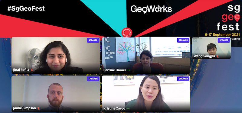
The Regional Geospatial Youth Forum kickstarted its first plenary session with thought-provoking insights and sharing from a diverse panel featuring:
- Dr Perrine Hamel, Assistant Professor from the Nanyang Technological University
- Jinal Foflia, Lead Program Manager (Geo) from Grab
- Kristine Juvel Zayco, Senior Sales Engineer from the Leica Geosystems
- Wang Songyu, Executive Data Scientist Design and Planning Lab from the Urban Redevelopment Authority
- Jamie Simpson, pursuing Doctor of Philosophy (Science), from the University of Sydney
Moderated by Dr Hamel from the Nanyang Technological University, the panelists offered their insights to the following overarching questions:
- What convinced the panelists to embark on a geospatial career and be part of the geospatial industry?
- What are some geospatial projects or initiatives that the panelists were involved in that have contributed to the geospatial realm?
- What are some ethical issues associated with the collection of geospatial data?
- How can collaboration between academia, the private sector and the public sector be fostered for geospatial-related projects?
- Are there any recent and upcoming developments in geospatial that the panelists are excited about?
Currently, the panelists are actively involved within the geospatial realm. However, interestingly the draw factor that eventually led them into the geospatial industry ranges. Some panelists cited personal reasons such as the influence of family members, whilst others encountered geospatial technologies throughout their course of work or study and realised its vast potential. Ms Foflia expressed her intentions of using geospatial technologies to improve others’ lives after a pivotal experience with the 2015 Nepal earthquake.
The panelists have embarked on several projects involving the use of geospatial technologies, mainly with the intention of improving standards of living. For instance, Mr Simpson used geospatial technologies such as remote sensing to investigate the correlation between land use change and resilience to cyclones to minimise risks for farmers. Similarly, Mr Wang mentioned using OpenStreetMap, a global geographic database, to build an extensive walking and cycling network to improve walkability and accessibility on a national level in Singapore.
As a rule of thumb, to avoid trespassing ethical boundaries, data collection must be premised on respect for the community. Discourse can occur through community channels and forums, facilitated by the governing body of OpenStreetMap, and these communities would then come to a consensus on how they can move forward. Mr Simpson cited how geospatial technologies such as remote sensing can be manipulated to convey a false narrative for the benefit of those in power. Therefore, a more ground-up approach should be taken such that there is a greater focus on the needs of the local communities involved to ensure that the data and technology are used to improve their lives.
When the panel was questioned on how to foster better collaboration between academia, the private and public sectors, there was a strong emphasis on creating more opportunities for the three different sectors to come together. Ms Zayco shared that beyond these opportunities, datasets from the public sector can also be made more accessible for academia, especially students in the Institutes of High Learning, so that they not only can utilise the data, but also provide feedback on how they can be improved as well. The involvement of young geospatial enthusiasts and professionals will allow them to garner knowledge of the latest technologies.
The panelists were extremely keen to share more about recent developments in GIS (Geographic Information System) technologies such as the usage of drones to make the data collection process more accessible, efficient, and reliable. Augmented reality is also another developing technology that can possibly make maps easier to comprehend.
To round up their discussion, the panelists discussed various challenges and skillsets required in the geospatial realm. As an ending note, the panel strongly encourages that the audience keep an open-mind and explore their interests, given the diversity in the range of applications and uses GIS has.
View recording: https://youtu.be/CihG9_YLBQQ
This report was written by Reginald Heng (Senior GeoSpatial Consultant, Geospatial Data & Planning, Singapore Land Authority) and Cheng Anze (GSDD Intern, MOE Geography Talent Development Programme).