
|
Home >
Settings >
Archives >
May 2021 >
Geospatial Innovation Key to Smart Nation Journey
Geospatial Innovation Key to Smart Nation Journey
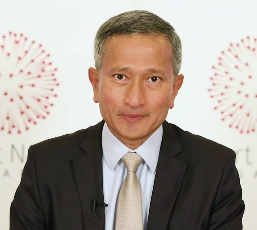
With the aim of fostering a vibrant geospatial ecosystem in Singapore and beyond, GeoWorks participated as a supporting partner at Geo Connect Asia 2021, the first large-scale hybrid event of this year, held on 24 and 25 March 2021 at Sands Expo & Convention Centre in Singapore. The two-day in-person and virtual conference with over 1,000 in attendance was officially launched by Minister for Foreign Affairs and Minister-in-charge of the Smart Nation Initiative Dr Vivian Balakrishnan.
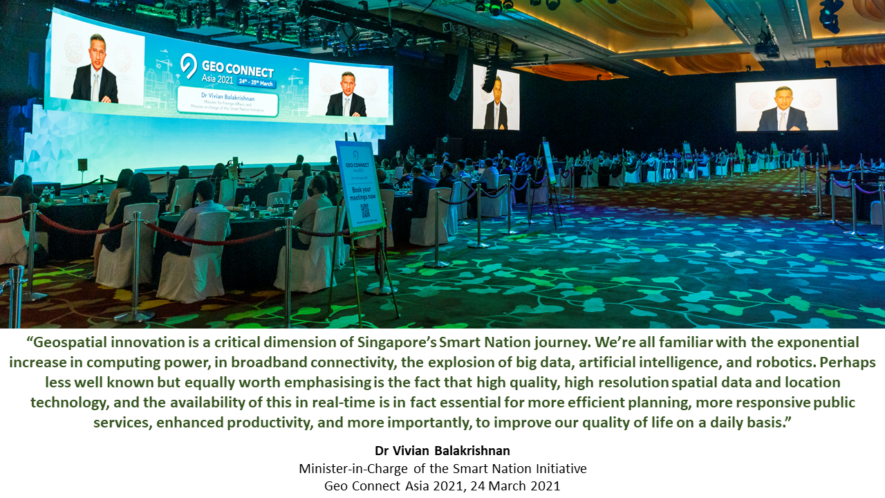
During his opening speech, Dr Balakrishnan talked about the importance of geospatial innovation as a “critical dimension of Singapore’s Smart Nation journey”. He said that “high quality, high resolution spatial data and location technology, and the availability of this in real-time” are “essential for more efficient planning, more responsive public services, enhanced productivity, and more importantly, to improve our quality of life on a daily basis.”
|
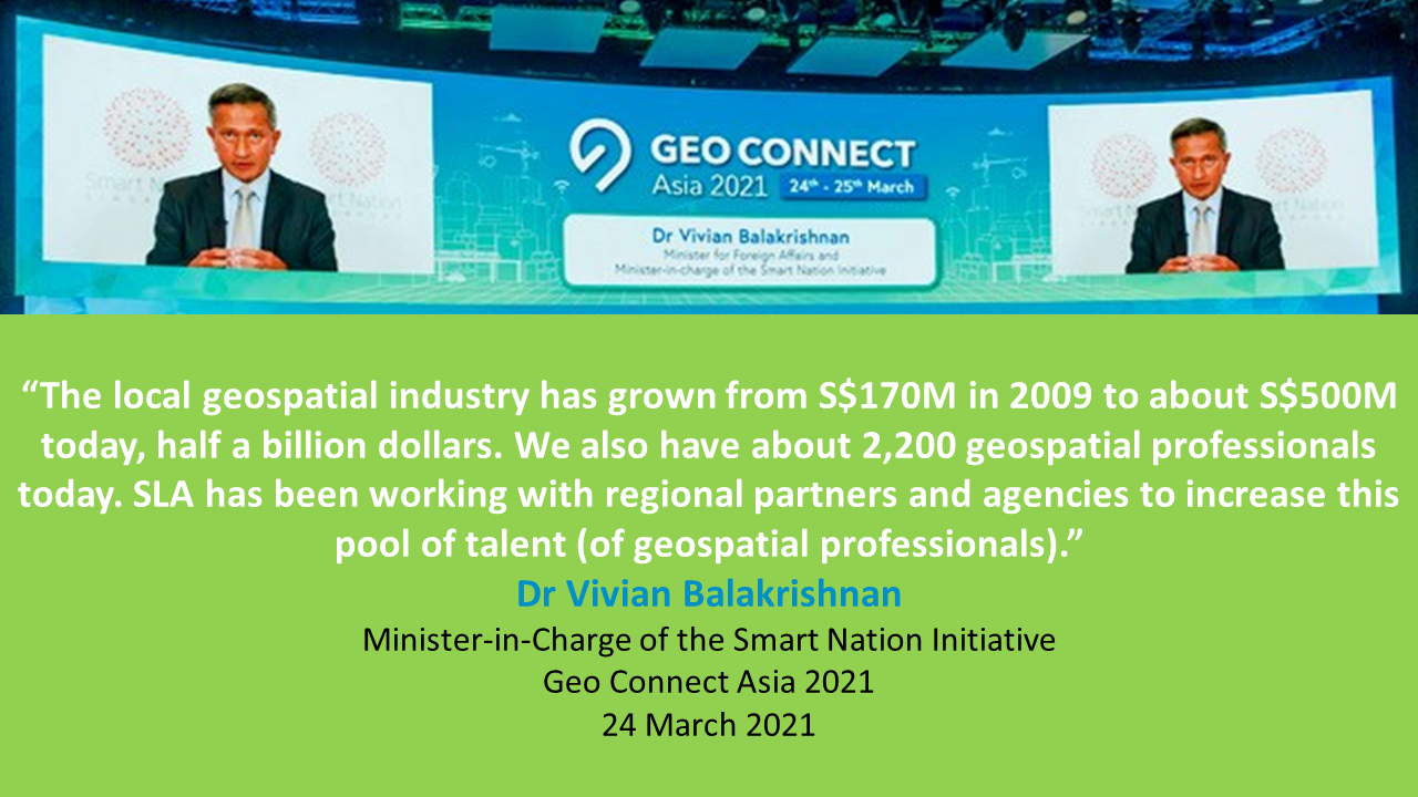
Human capital, he said, is Singapore’s “most valuable resource”. “Beyond the technology and the infrastructure, we need to build up a pool of professionals who can contribute to the local geospatial industry. The local geospatial industry has grown from S$170M in 2009 to about S$500M today, half a billion dollars. We also have about 2,200 geospatial professionals today. SLA has been working with regional partners and agencies to increase this pool of talent (of geospatial professionals),” Dr Balakrishnan said. |
|
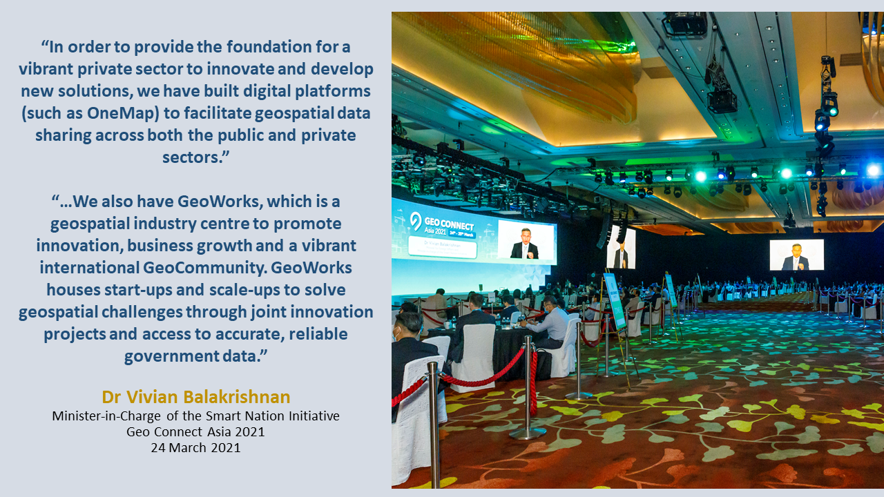
Dr Balakrishnan said that digital platforms such as OneMap, “a Whole-of-Government mapping platform”, can help “facilitate geospatial data sharing across both the public and private sectors”. He also highlighted GeoWorks. “
We also have GeoWorks, which is a geospatial industry centre to promote innovation, business growth and a vibrant international GeoCommunity. GeoWorks houses start-ups and scale-ups to solve geospatial challenges through joint innovation projects and access to accurate, reliable government data,” he said.
|
|
Plenary Panel Discussion on Geospatial Planning
 From left to right: |
Speakers Dr Mika-Petteri Torhonen of The World Bank, Hwang Yu Ning of Urban Redevelopment Authority and John Whitehead of Trimble Geospatial participated in a panel discussion on geospatial planning and solutions on the first day of Geo Connect Asia. The session – “Geospatial planning & solutions: the key to a robust & sustainable recovery” – was moderated by Ng Siau Yong, Director, Geospatial & Data Division and Chief Data Officer from the Singapore Land Authority.
The speakers touched on various points including geospatial investments, the use of technology as a means and not as a solution and that interlinked geospatial and data systems and solutions can help in a better response to future pandemics.
|
| Both Dr Torhonen, Lead Land Administration Specialist from The World Bank, and Ms Hwang, Chief Planner & Deputy Chief Executive Officer from the Urban Redevelopment Authority, said that the COVID-19 pandemic has justified investments in basic infrastructure and data framework planning. Mr Whitehead, Trimble Geospatial’s APAC Regional Director, said that investments in new technology are needed. | |
Innovation and Digitalisation
| Other keynote speakers at the event were Hwang Yu-Ning (Chief Planner & Deputy Chief Executive Officer at Urban Redevelopment Authority), The Honorable FDr. Ar. Siti Rozaimeriyanty DSLJ Haji Abdul Rahman (Chair of the ASEAN Business Advisory Council), Dr Winnie Tang (Founder & Honorary President of the Smart City Consortium in Hong Kong) and Tony Fernandes (Chief Executive Officer of AirAsia Group). In her keynote presentation at Geo Connect Asia 2021, “Smart technologies driving sustainable smart cities”, Dr Winnie Tang, Founder & Honorary President of the Smart City Consortium in Hong Kong spoke about Hong Kong’s smart city journey, the role of technologies and the importance of Geographic Information Systems and Common Spatial Data Infrastructure in the development of smart cities. |
 Above: Dr Winnie Tang Above: Dr Winnie Tang
|
|
Smart cities, Dr Tang said, need to future proof themselves. Dr Tang also referred to an Organisation for Economic Co-operation and Development survey in which geographic information was voted to have high commercial value. She also said that in order to notice patterns one needs to use the latest technologies to capture and query data. “Now, according to a survey by OECD, geographic information is always at the top. That means amongst all the information, geographic information has been the most popular, has been the one being voted as the highest commercial value or business value,” said Dr Tang.
|
|
AirAsia’s Digital Transformation
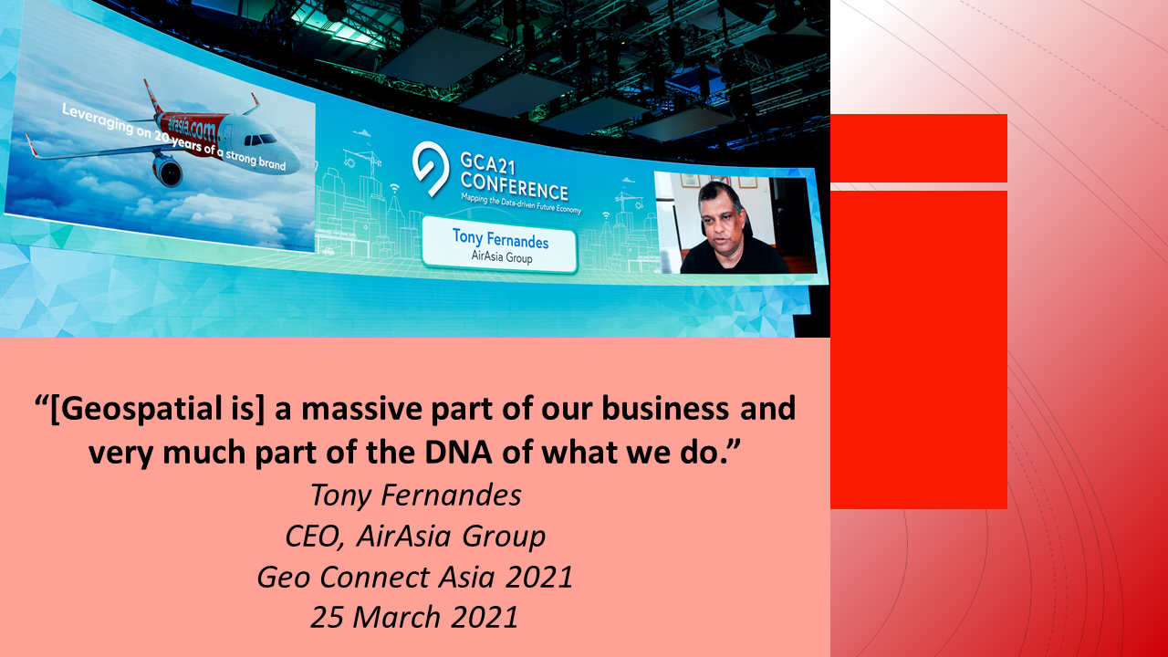 |
In his closing keynote address at Geo Connect Asia, AirAsia Group’s Tony Fernandes said that geospatial and geolocation are a massive part of his company’s DNA and that he was optimistic about the future of geospatial.
“[Geospatial is] a massive part of our business and very much part of the DNA of what we do”, Mr Fernandes said.
|
Geo Connect Asia 2021 was organised by Montgomery Group Asia. The event – a knowledge showcase of geospatial technologies and innovations in the region – brought together over 40 industry leaders and experts. The conference was supported by Singapore Land Authority as a Knowledge Partner and GeoWorks. Geo Connect Asia will return in 2022 on the 23rd and 24th March.
Read Other GCA News
- "ASEAN Geospatial Agencies - Innovation for a Sustainable Future"
- "GeoPartners and GeoTechs in the limelight at Geo Connect Asia 2021"
- "Geospatial Planning and Solutions: The Key to a Robust and Sustainable Recovery"
GCA Press
- "Public, private sectors must collaborate to create geospatial tech solutions: Vivian Balakrishnan", The Business Times
- "Tracking dongle, facial recognition tested for major events in Singapore", The Straits Times
- "Singapore tests distancing dongles to track mingling at meetings as it looks ahead to hosting WEF", Channel News Asia
- "Mice industry to see boost from higher capacity cap of 750", The Business Times