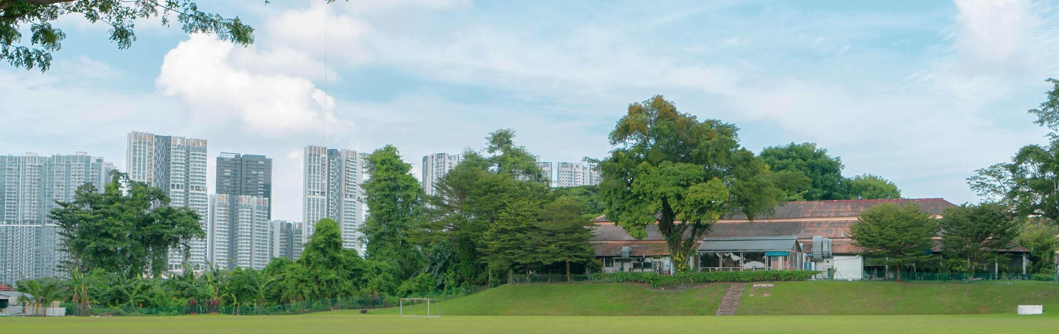
Limited Land Unlimited Space
Optimising land resources for the economic and social development of Singapore
Data Security Incident: Affected individuals will receive a notification letter from SLA. If you have received a notification letter and wish to check on your affected data, please visit app.sla.gov.sg/support and login via your SingPass. You do not need to take any further action.
What we do
Properties
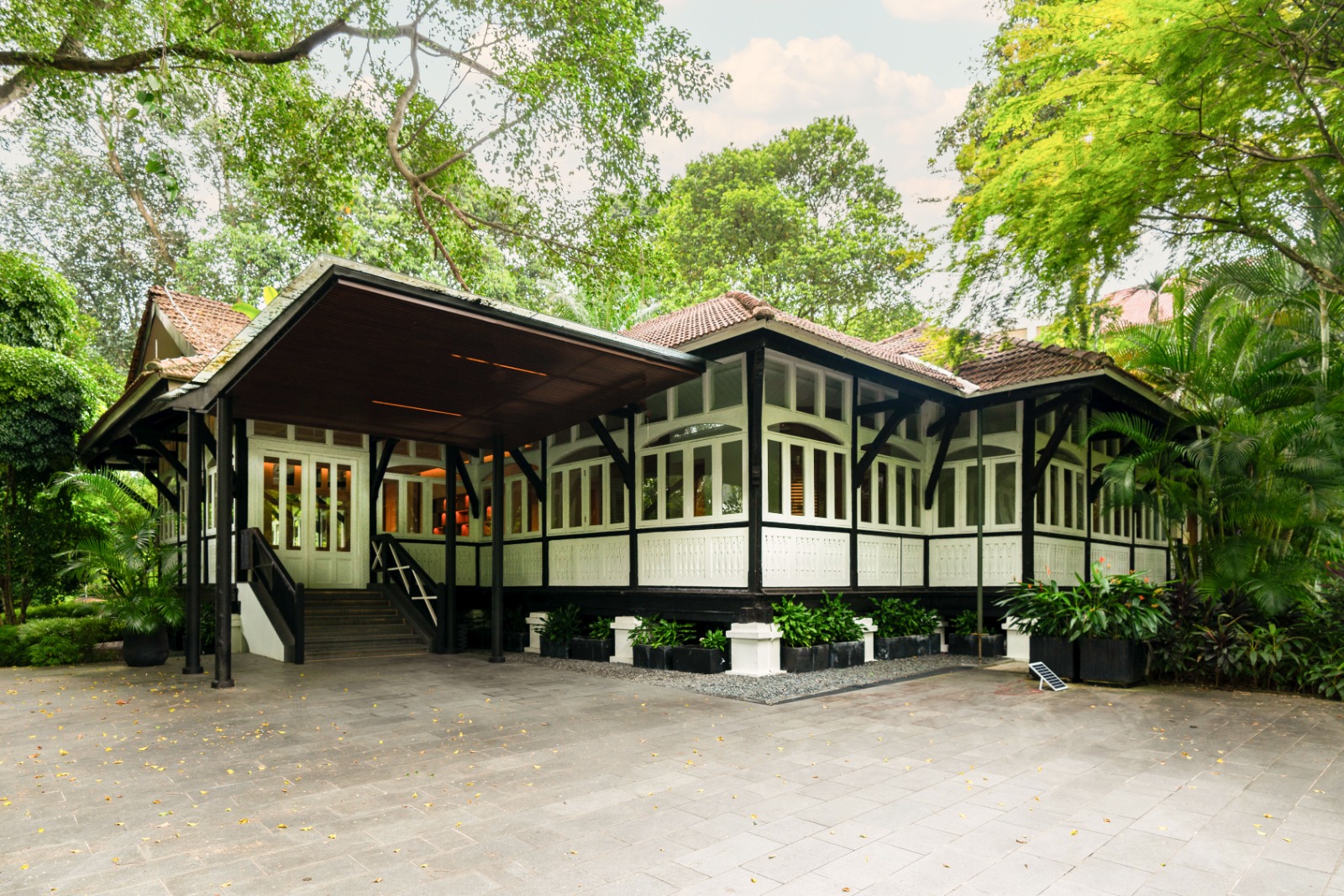
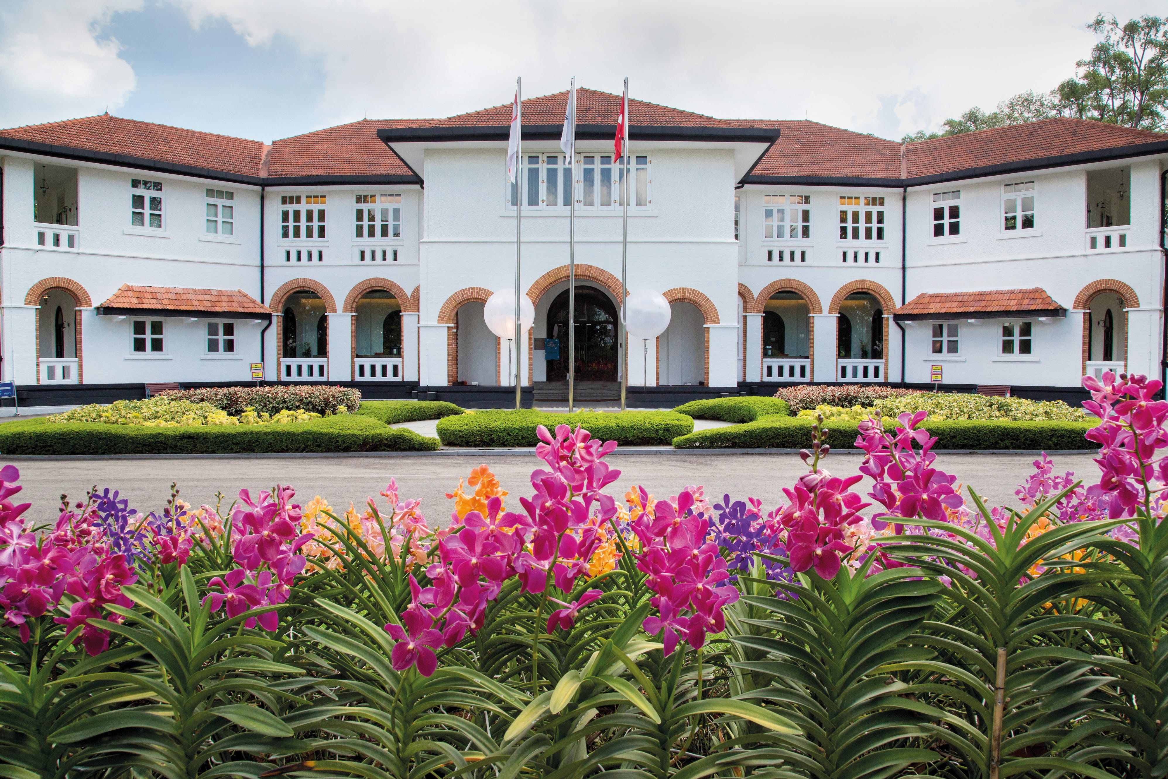
As the custodian of State assets, we manage 11,000 hectares of land and 2,600 properties, optimising them for creative new uses.

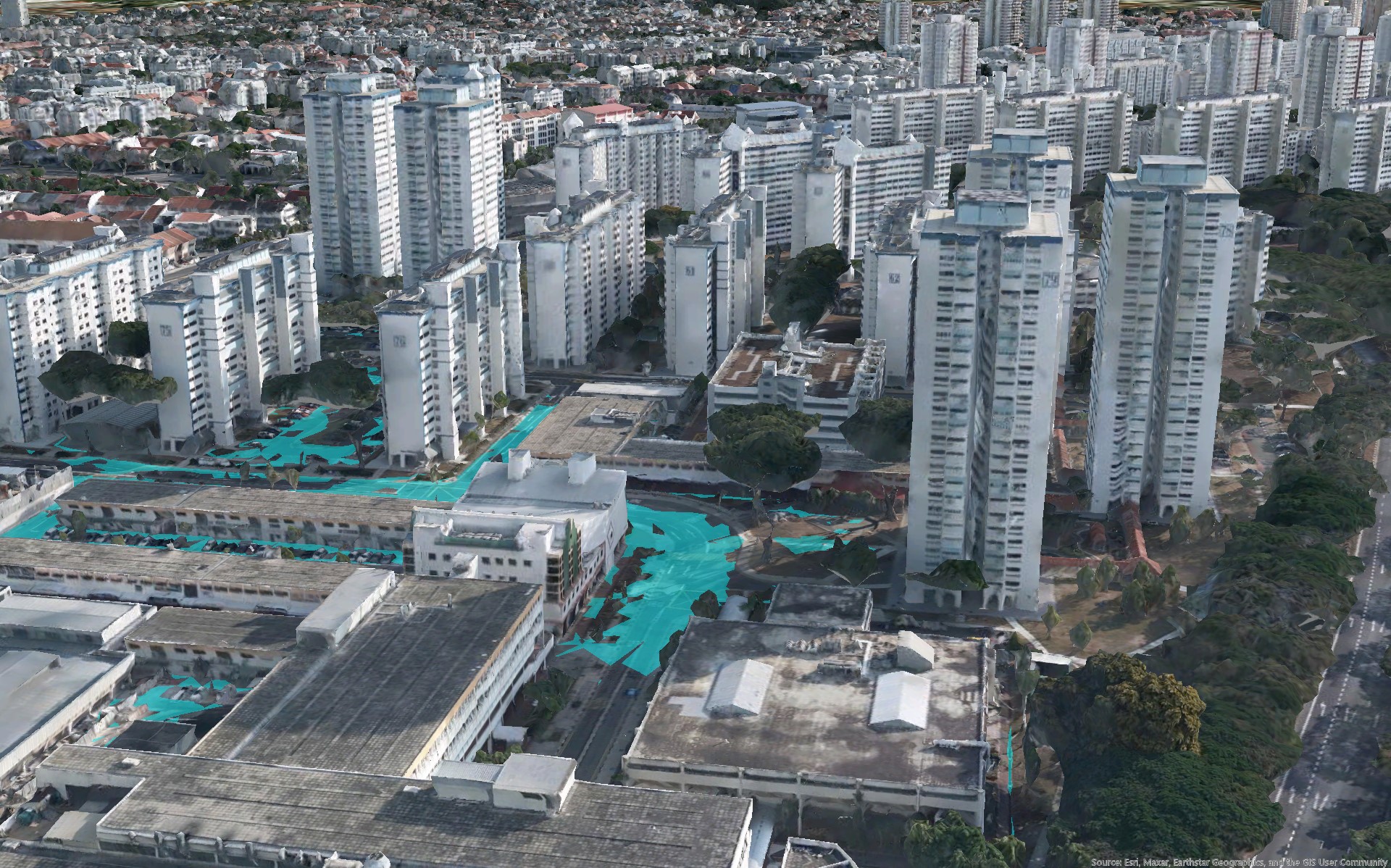
Geospatial
We drive the national development of geospatial technology and data by fostering innovation and public-private-community collaborations.
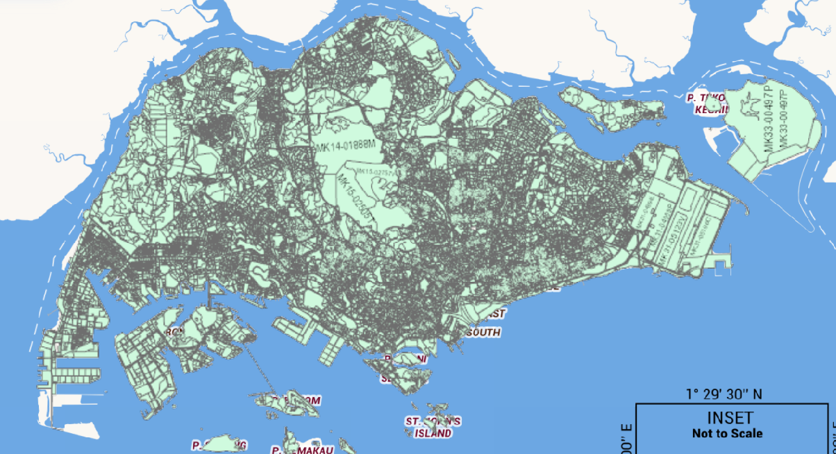
Regulatory
In our role as the national land registration and land survey authority, we ensure accurate records of land ownership and boundaries.
What's happening
.jpg)
Commemorative Stamp Set
Created in collaboration with SingPost and illustrated by local designer Joachim Kok, the SLA25 commemorative stamp series celebrates five distinctive State property asset types managed by SLA. Each stamp captures a story of heritage, innovation and community, inspiring you to discover the places behind them.
.jpeg)
SLA25 Rediscovery Trail
From 14 July until 13 September, the SLA25 Rediscovery Trail invites you to explore 25 SLA-managed State properties across Singapore. Uncover their rich stories of history and adaptive reuse, plan visits using OneMap, and collect limited-edition mementos along the way. Plus, enjoy over 140 exclusive SLA25 deals at participating tenants!

Our Spaces, Our Stories
Every place holds a story. From meaningful milestones to everyday moments, every memory tells the story of Singapore's State properties. Through Our Spaces, Our Stories, we invite you to share your personal experiences of any SLA-managed State property.
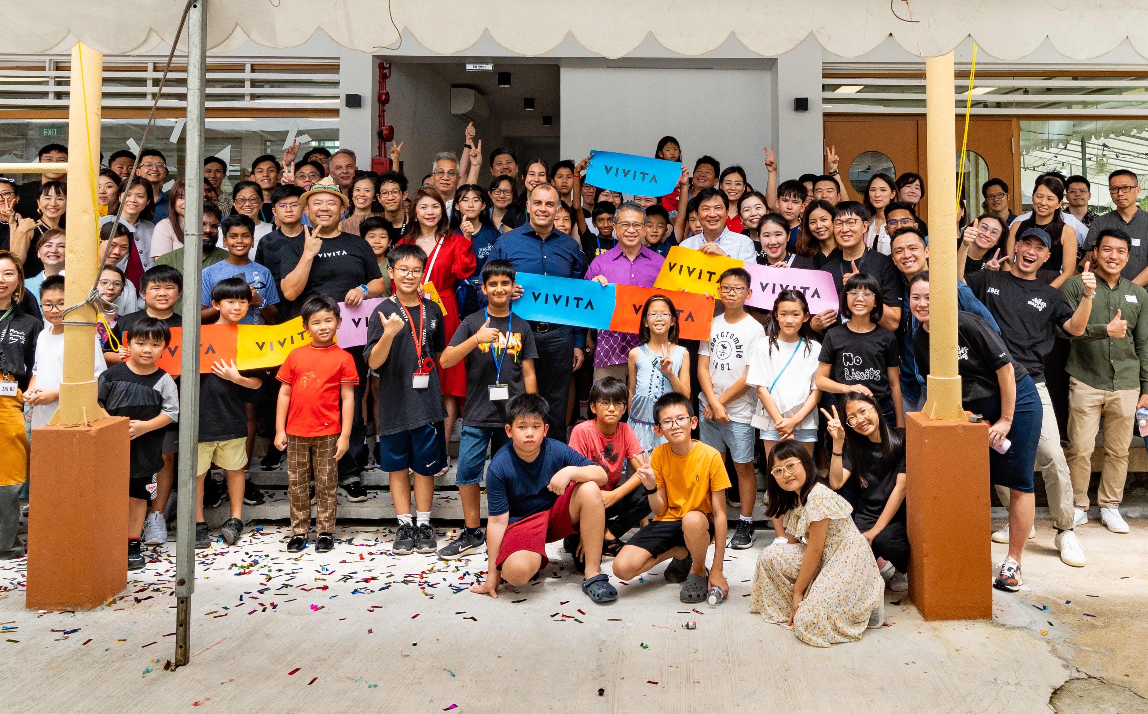
Rejuvenating spaces and creating vibrant communities
Our proactive efforts to engage diverse stakeholders has breathe new life into State assets, rejuvenating them as homes for artists, businesses, social enterprises, and sustainability champions.
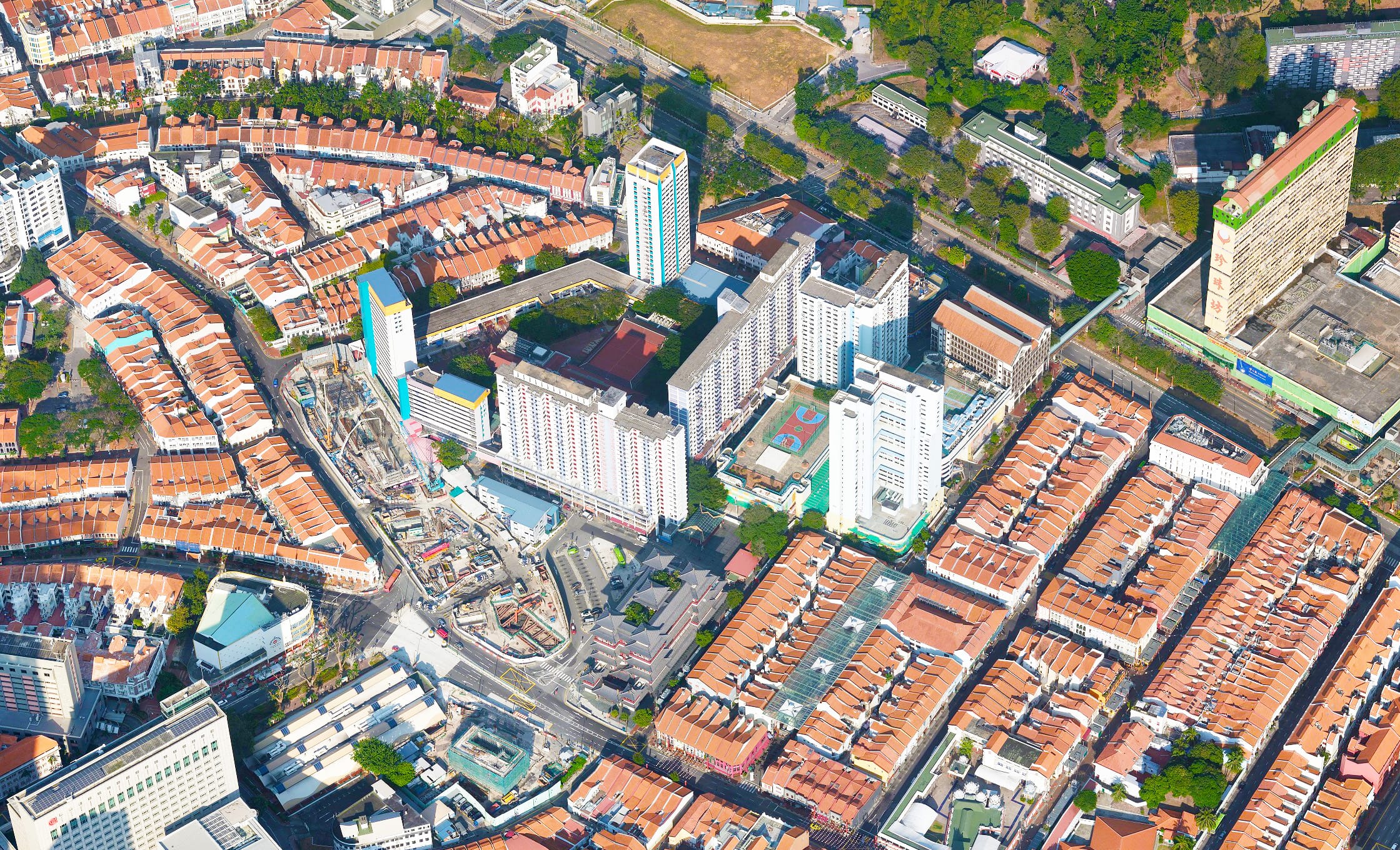
Building a geo-enabled Singapore
Together with our partners, we are building geospatial ecosystems and capabilities to empower wide-ranging sectors for a more efficient, inclusive and sustainable Singapore.
Upholding trusted regulatory framework and systems
As steward of Singapore’s property and ownership information, we continuously refine our processes and systems to uphold efficiency and readiness for the future.
Join us in shaping Singapore’s geospatial and urban landscape
At SLA, your work will have a direct impact across communities. Join our team for a career that empowers citizens and businesses through State assets optimisation and geospatial technology.

Unique space solutions
From heritage structures to modern buildings and open State land spaces. The State assets we manage offer opportunities for unique experiences and creative ventures.