
|
Home >
Settings >
Archives >
May 2021 >
Geospatial Planning and Solutions: The Key to a Robust and Sustainable Recovery
Geospatial Planning and Solutions: The Key to a Robust and Sustainable Recovery
To foster a vibrant geospatial ecosystem is no easy feat. This ecosystem will only be made possible with the support and involvement of multiple stakeholders, time invested amongst many other elements that goes behind the development of geospatial solutions. In light of the unforeseen COVID-19 that hit countries across the globe, it is crucial to reflect on geospatial planning and solutions and those developed in the recent period, in order to maintain a robust and sustainable recovery from the pandemic. In fact, when looking at recovery, the panel concurred a macro perspective should be adopted that we should look beyond just the recent COVID-19 pandemic but also extend the views of recovery into fields such as natural disaster.
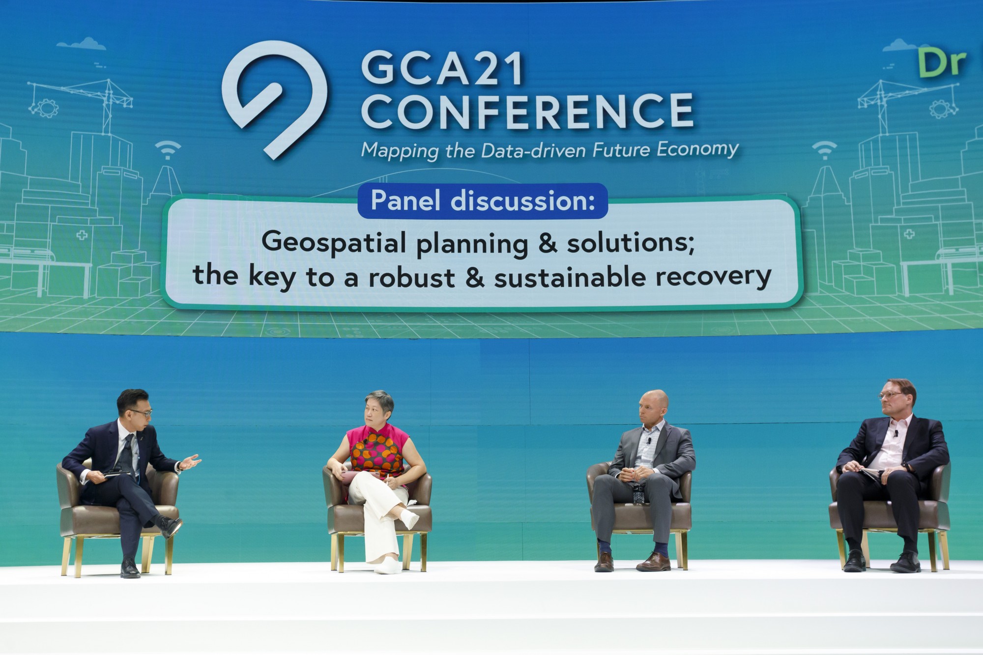
Thought-provoking insights and sharing from the plenary session were made possible with the diverse panel featuring:
- Ms. Hwang Yu-Ning, Chief Planner & Deputy Chief Executive Officer from the Urban Redevelopment Authority
- Mr. John Whitehead, APAC Regional Director, from Trimble Geospatial
- Dr. Mika-Petteri Torhonen, Lead Land Administration Specialist (East Asia Pacific and South Asia Regions) from the World Bank
Moderated by Mr. Ng Siau Yong, Director (Geospatial & Data Division) and Chief Data Officer from the Singapore Land Authority, the panellists shared their views and perspectives to the following overarching questions:
- How can planners utilise geospatial solutions and tools to expedite recovery?
- Does a set of issues and challenges arise impede the progress of adoption of geospatial planning and solutions?
- What are the elements in a Smart City to be built on to outsmart future pandemics?
|
|
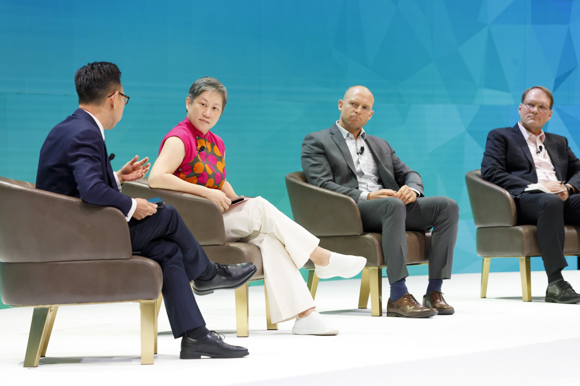
[L-R] Ng Siau Yong (SLA), Ms. Hwang Yu-Ning (URA),
Mr. John Whitehead (Trimble Geospatial) and Dr. Mika-Petteri Torhonen (The World Bank)
|
Given the unexpected nature of the COVID-19 pandemic, the panel concurred that being both reactive and preventive in situations like this, will stand countries in good stead to tackle the challenges arising from the pandemic.
Ms Hwang shared that the regular work and efforts of the various agencies and stakeholders into developing a system ensured the nation’s data readiness, such as collection of footfall and mobility data, to understand and combat the pandemic. Mr Whitehead opined that an area of improvement could be to enhance the ability to collect more immediate ground data such as indoor space data to mitigate congregation within a building. The tackling of movement and real time geolocation of crowds are strong pull factors for a quicker recovery.
However, this is not always welcome by the general public who can be concerned with data privacy issues. The panel shared similar sentiments that a pragmatic view should be adopted regarding privacy. The collection of data could instead be done in an aggregated manner as a proxy, this can prevent the identification of individual data that can help to flatten the curve of recovery. In addition, countries should invest efforts to build trusted and respected legal and regulatory frameworks.
In the panel’s exploration on the development of elements towards a Smart City, Dr Mika expressed that the fundamental challenge faced is to narrow the disparity of the informalities to access geospatial solutions in view of rapid urbanisation. In this vein, he mentioned that the inclusivity of OneMap to produce high standard data for users to leverage on, aids in the level of geospatial adoption to develop recovery solutions.
To round off the plenary session, the panel reflected upon an audience question on whether COVID-19 had surfaced any geospatial investments that the panel felt should have occurred prior to its onset. An integrated standardised geospatial system, fundamental standards and frameworks and the long-term sustainability of new technology adopted during this pandemic are some planning solutions that the panel harmonised.
Mr Ng shared a quote from Winston Churchill, "To improve is to change; to be perfect is to change often.". The changes to the building blocks in geospatial, through an integrated system pipeline that enables data to flow, sharing solutions will aid in the pursuit to reach a robust and sustainable system to achieve a quicker recovery.