|
Home >
Settings >
Archives >
April 2021 >
ASEAN Geospatial Agencies – Innovation for a Sustainable Future
ASEAN Geospatial Agencies – Innovation for a Sustainable Future

Expediated by rapid urbanisation and digitalisation, geospatial has been increasingly identified in the ASEAN region to support Smart Cities development, facilitate data-driven decision-making, and better allocate resources for operations and service delivery. But for the potential of geospatial to be maximised, the public sector has a mounting responsibility to enable this ecosystem – by expanding their geospatial operations and capabilities through policies, data, technology, infrastructure, and capacity building.

Why does geospatial innovation matter in creating a sustainable future in ASEAN? How will such innovation shape the evolution of the ecosystem? What are the biggest challenges facing geospatial development today, and are there opportunities for greater advancements and collaboration? In this regard – could geospatial innovation position itself as a rallying point for resilience, sustainability, and Smart Cities development?
These were some of the overarching questions that ASEAN panellists provided insights to. Converging at the Geo Connect Asia 2021 roundtable discussion on 25 March 2021, the diverse panel featured geospatial leaders from five countries – Indonesia, Laos, Thailand, Vietnam, and Singapore (Host), and their respective Geospatial Agencies. They were:
- Professor Dr. Muh Aris Marfai, Chairman of the Geospatial Information Agency of Indonesia (BIG);
- Dr. Ammala Keonuchan, Deputy Director-General of the National Geographic Department (NGD) of Laos;
- Mr. Tatiya Chuentragun, Deputy Executive Director of the Geo-Informatics and Space Technology Development Agency (GISTDA) of Thailand;
- Dr. Nguyen Dai Dong, Chief of Science and International Cooperation Office, from the Department of Survey, Mapping and Geoinformation Vietnam (DOSMVN);
- Mr. Lim Liyang, Deputy Director of the Geospatial & Data Division, from the Singapore Land Authority (SLA).

The panellists concurred that geospatial innovation has immense potential to enable a more sustainable future. Through their National Spatial Data Infrastructures (NSDIs), the public sector is at the forefront of developing and facilitating the geospatial data ecosystem, along with supporting wider sectors with public service initiatives. Agencies encouraged the active participation of public and private sector entities to contribute towards data acquisition, integration, and utilisation, to strengthen data quality and interoperability for Smart Cities use cases.
Regional growth and collaborations were also emphasised in the ASEAN region. This included the sharing of common data, standards, best practices, and capacity building engagements, for the ASEAN Geospatial Agencies to find greater avenues to co-create geospatial opportunities, and leverage on each Nation’s unique strengths to enhance Smart Cities and sustainable development through geospatial.
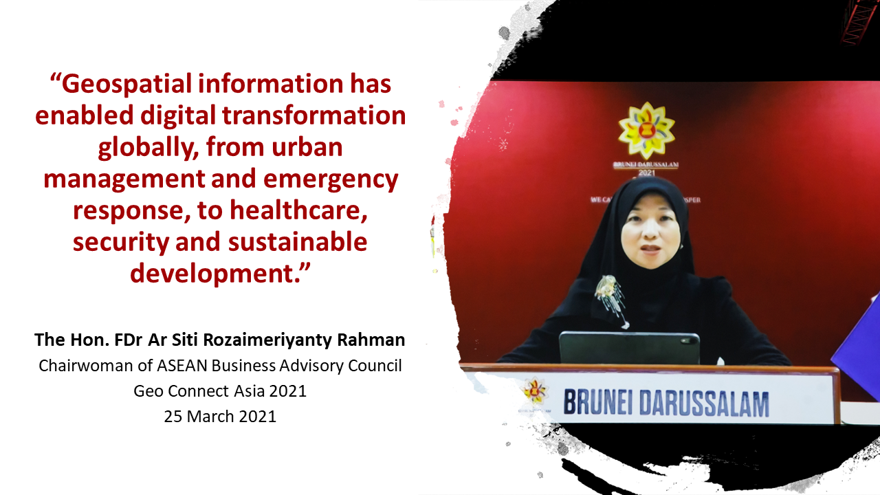
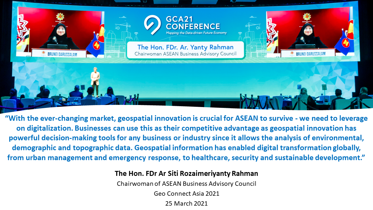
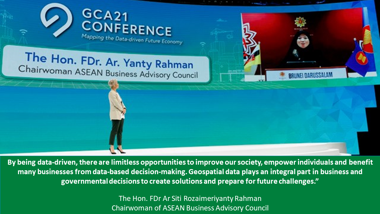
| Keynote Speech by The Honorable FDr. Ar. Siti Rozaimeriyanty DSLJ Haji Abdul Rahman |
|
|---|---|
|