
|
Home >
Settings >
Archives >
October 2019 >
Celebrating our 1st Singapore Geospatial Week and 1st Birthday of GeoWorks!
Celebrating our 1st Singapore Geospatial Week and 1st Birthday of GeoWorks!
October 1, 2019
We had a number of firsts at GeoWorks this year!
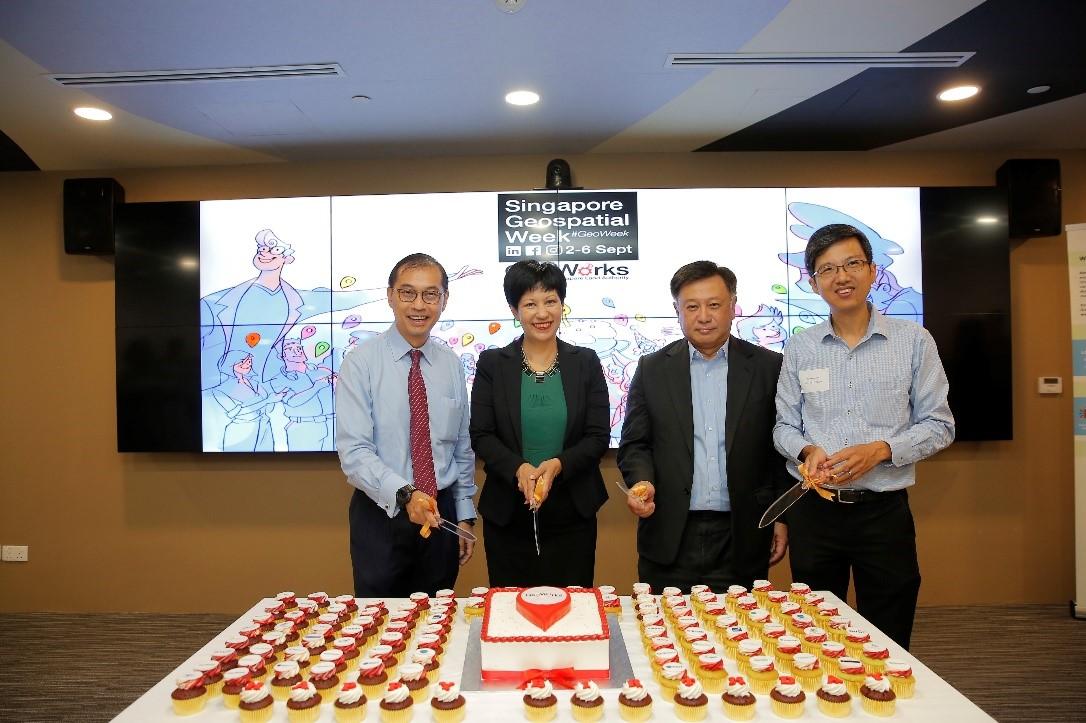
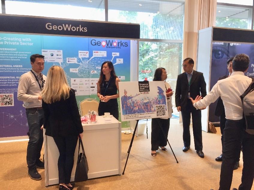
The team at Singapore Land Authority’s Geospatial and Data Division and GeoWorks has been working hard behind the scenes to launch the first Singapore Geospatial Week (#GeoWeek) held on 2-6 September! Presented by GeoWorks, Singapore’s only geospatial-focused industry centre, Singapore Geospatial Week featured five intense days of events that celebrated and promoted the importance and growth of geospatial technology, applications and data in Singapore.
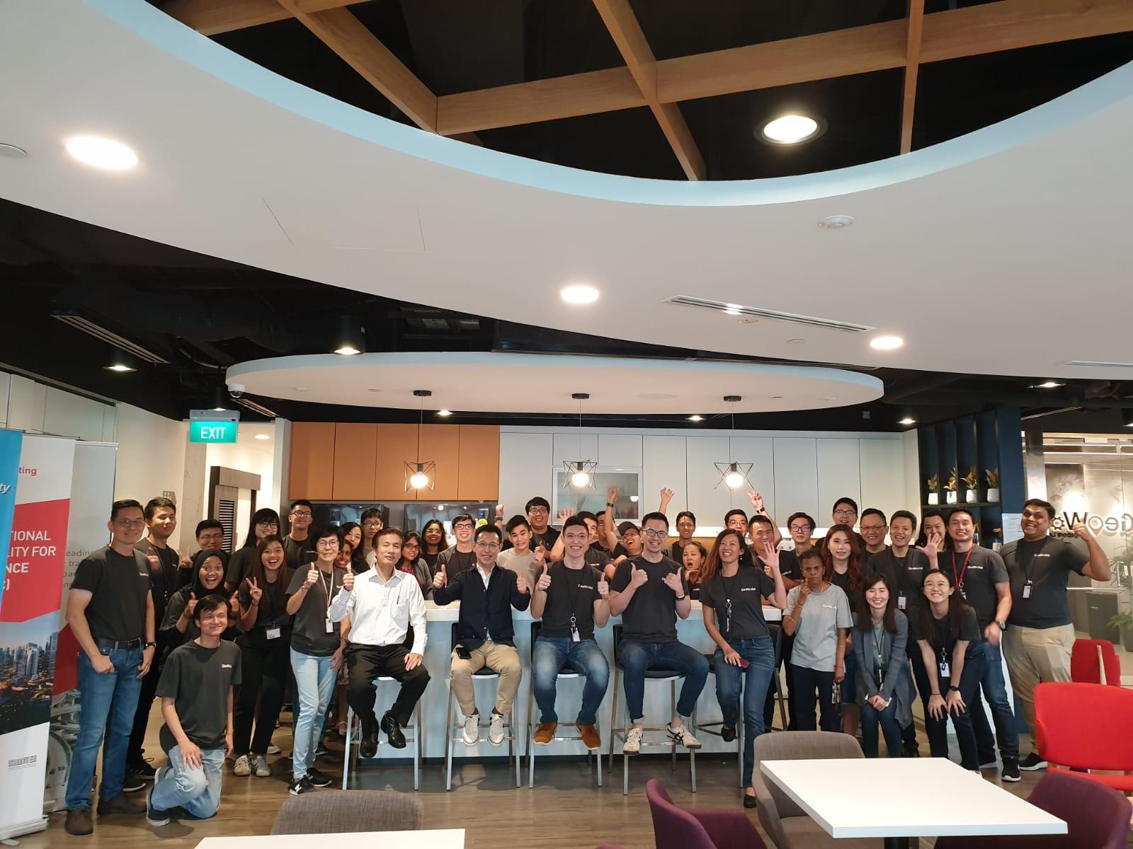
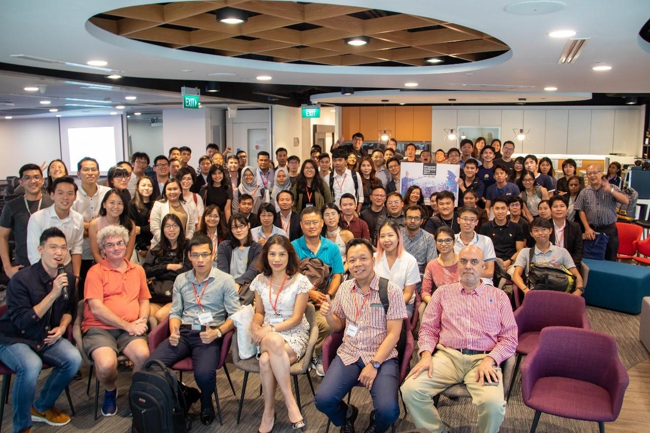
A big thank you to our GeoTechs, GeoPartners and the GeoCommunity members (current and new) who joined the celebration!
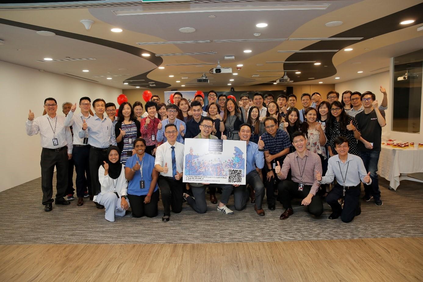
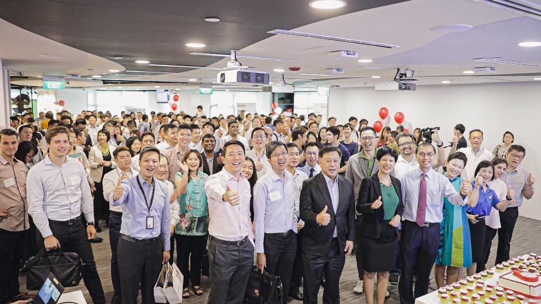
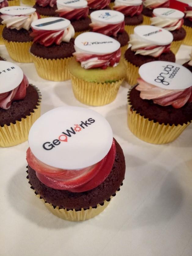
GeoWorks’ 1st Anniversary
It was a pleasure to have our guest-of-honour, Minister in the Prime Minister’s Office and Second Minister for Finance and Education, Ms Indranee Rajah grace the occasion and celebrate GeoWorks’ 1st birthday with the GeoCommunity.
Partnership with Foursquare and OneMap3D
During the GeoWorks anniversary celebration, SLA announced our partnership with our new GeoPartner, Foursquare, a technology company that uses location intelligence to drive informed business decisions. Through this partnership, OneMap users will now be able to find food & beverage stores, supermarkets, cafes and other lifestyle locations in addition to OneMap’s existing information of key locations.
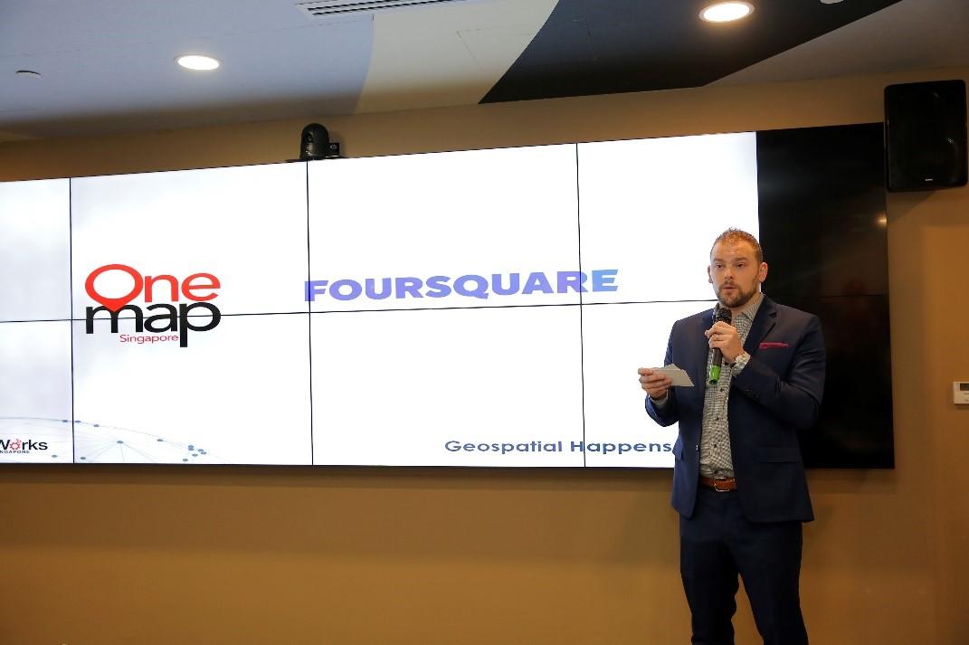
SLA also announced the 3D upgrade of OneMap, to develop what may soon be Asia’s first, open-source 3D nationwide map. OneMap 3D will enable users to orient themselves in a three-dimensional representation of the real world, empowering them to navigate around identifiable landmarks, walkways and even void deck spaces. OneMap 3D will first be launched to developers by the end of 2020.
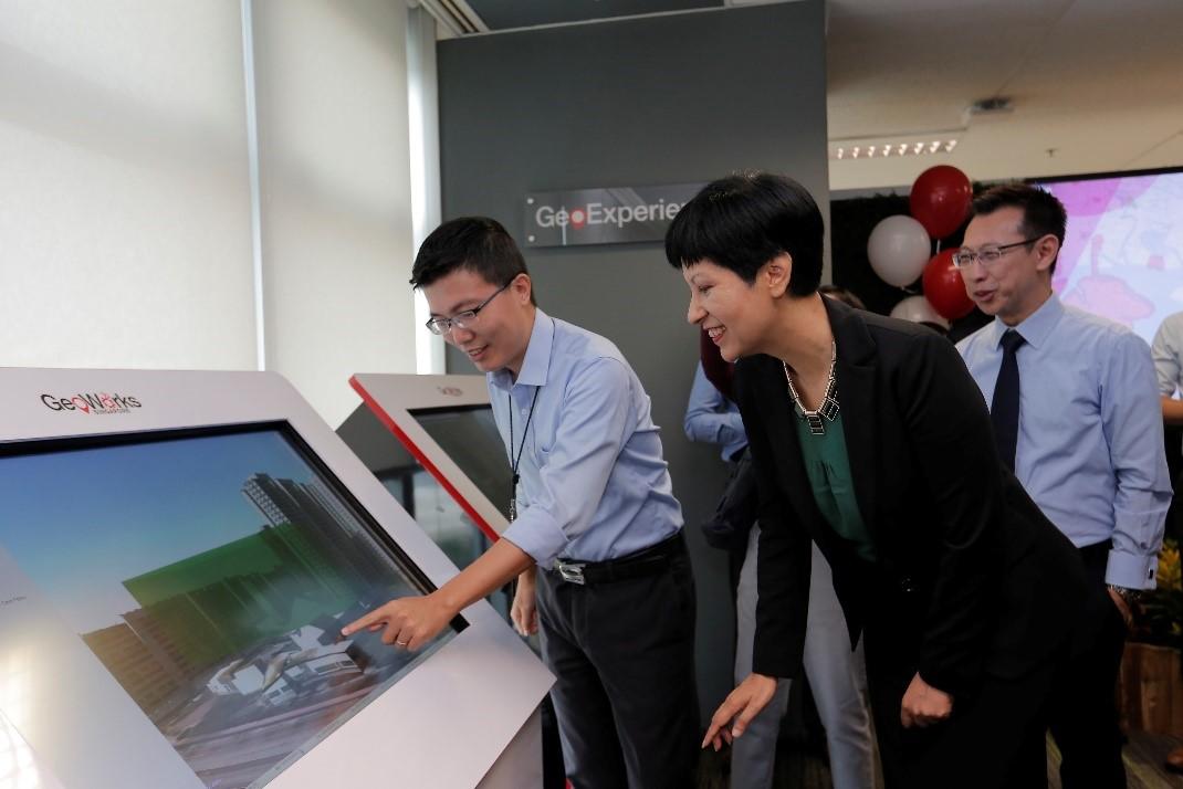
Since GeoWorks’ inception in July 2018, GeoWorks has on board 27 GeoTechs and 21 GeoPartners. GeoWorks aims to connect businesses, entrepreneurs and innovators to drive geospatial solutions for the promotion of business growth and opportunities in Singapore and around the region.
Industry events and Grab mapathon
Geospatial adoption will increasingly be an important and critical component in Singapore’s development and redevelopment of its infrastructure and industry. The week’s series of events aim to enhance the adoption of geospatial technology, to open up opportunities for businesses to grow and citizens to benefit in a Smart Nation.
For the geospatial professional, the week featured the ESRI Singapore User Conference and Location World. Grab, in addition, organised a mapathon which was open to the general public. Meanwhile, GeoWorks and Ordnance Survey co-organised an “English Tea and Teh Tarik” UK-Singapore talk for Singapore and UK geospatial startups.
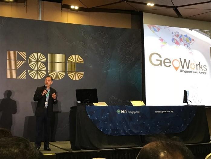
Esri Singapore User Conference
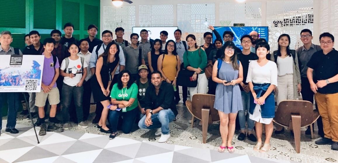
Grab Mapathon
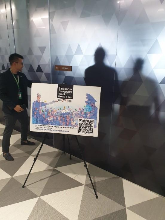
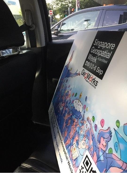
The GeoWeek banner travelled everywhere!
Regional Youth Forum
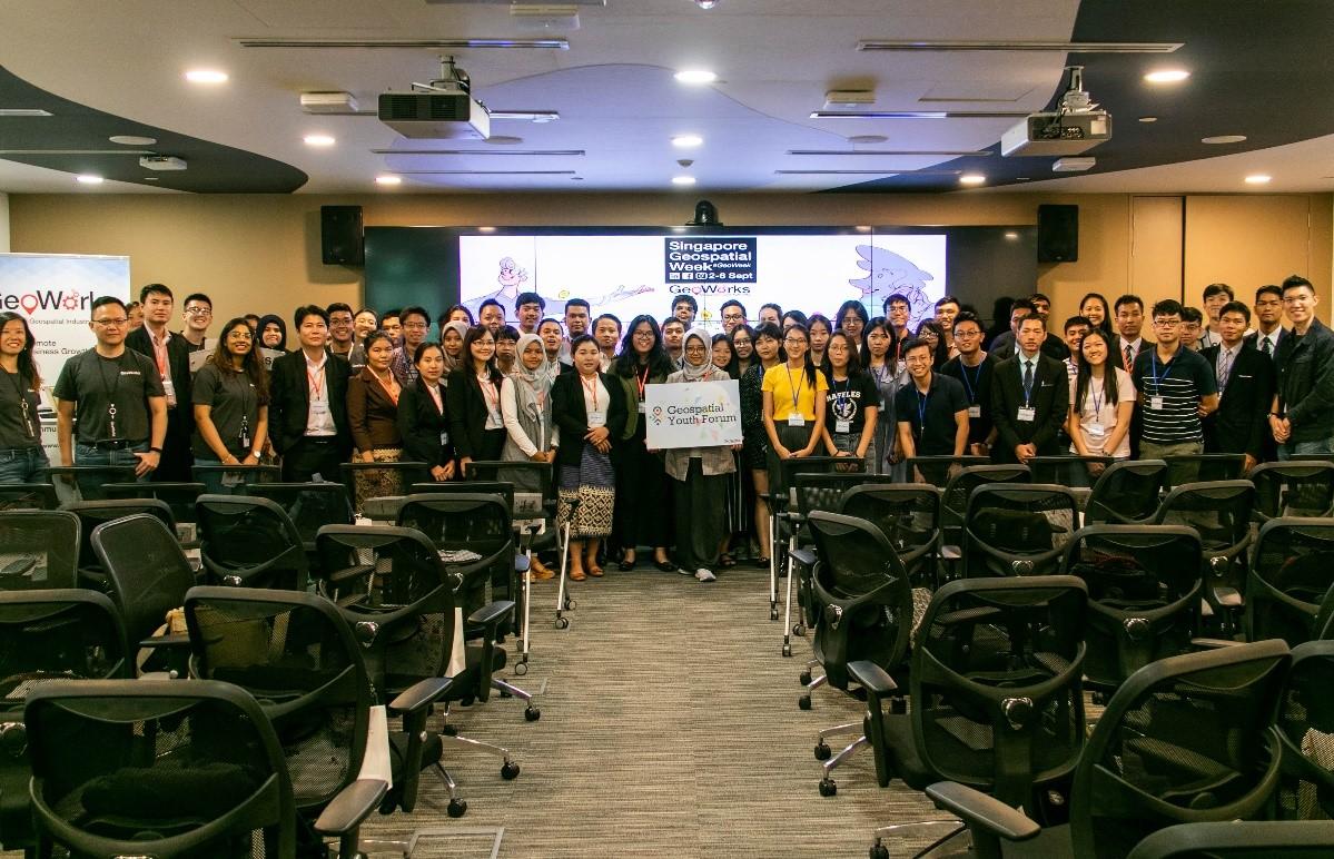
On 6th September at Amara Hotel, the Regional Geospatial Youth Forum kicked off with a panel of young geospatial professionals from varying academic, corporate and governmental backgrounds. Geospatial youth panelists shared their experiences in applying geospatial technology to their work and offered advice and suggestions to students and young enthusiasts seeking to work in the geospatial industry, such as the demands of the field and the skills needed.
Present at the event were several delegations representing Southeast Asian countries such as Vietnam, Indonesia, Lao PDR and Myanmar. The panel was followed by a poster showcase of various projects undertaken by the international delegates in applying geospatial technology to a myriad of different purposes. Some examples included the discovery of potential new islands in Indonesia and the prevention of landslides in Myanmar, among many others.
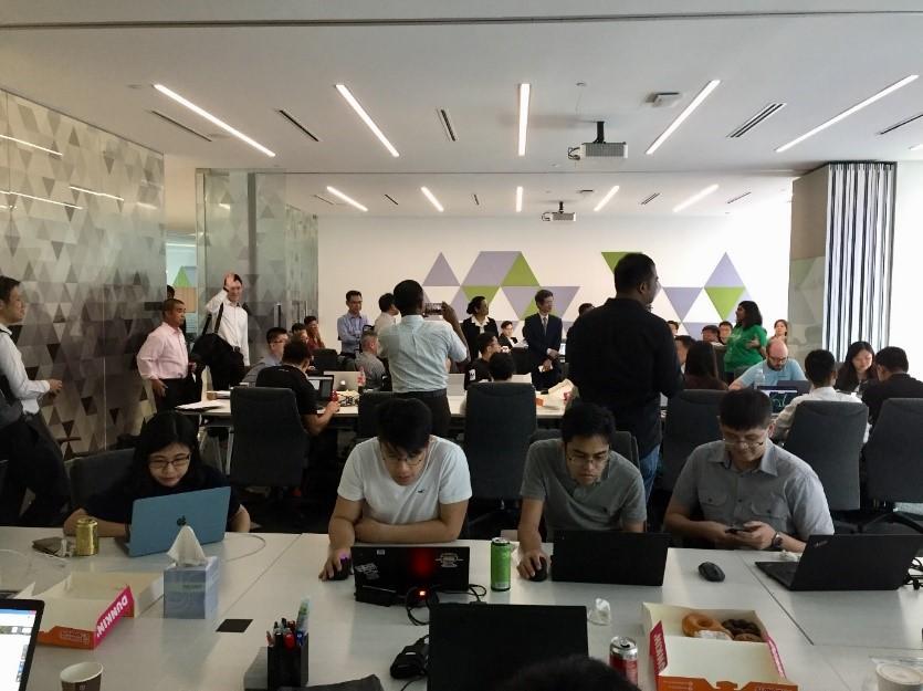
GeoWorks Open House
The event continued at the GeoWorks Open House at GeoWorks with additional talks and GeoWorkshops. Maptime led a workshop which taught participants the basic skills of working with geospatial data and shared case studies of solving real-world issues, such as disaster relief after a flood. Using the open source mapping platform Mapbox, the workshop guided users through the creation of maps for their own uses.
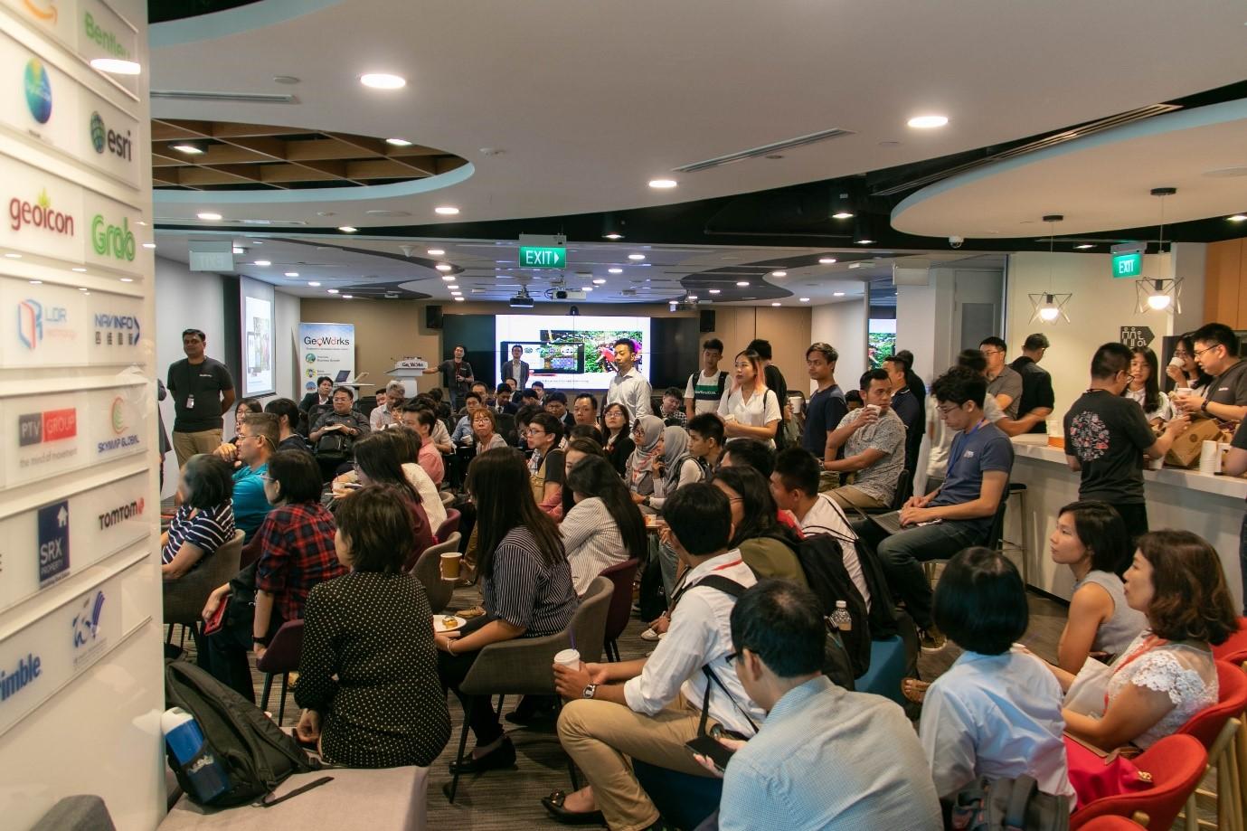
Other workshops simultaneously held at the Open House were the OneMap and Grab workshops. As a government mapping platform helping agencies deliver geospatial information and services, the OneMap workshop introduced how the platform was developed, and elaborated on how its collaborative features and programme interface could be used by developers to power their geospatial applications. An example was MOGUL.sg, as one of the GeoTechs of GeoWorks, who shared their experiences with powering their smart property portal with OneMap.
Meanwhile, Grab’s workshop focused on generating crowdsourced data to create maps to reflect real-world conditions and ensuring the accuracy of data with a range of validation tools and methods.

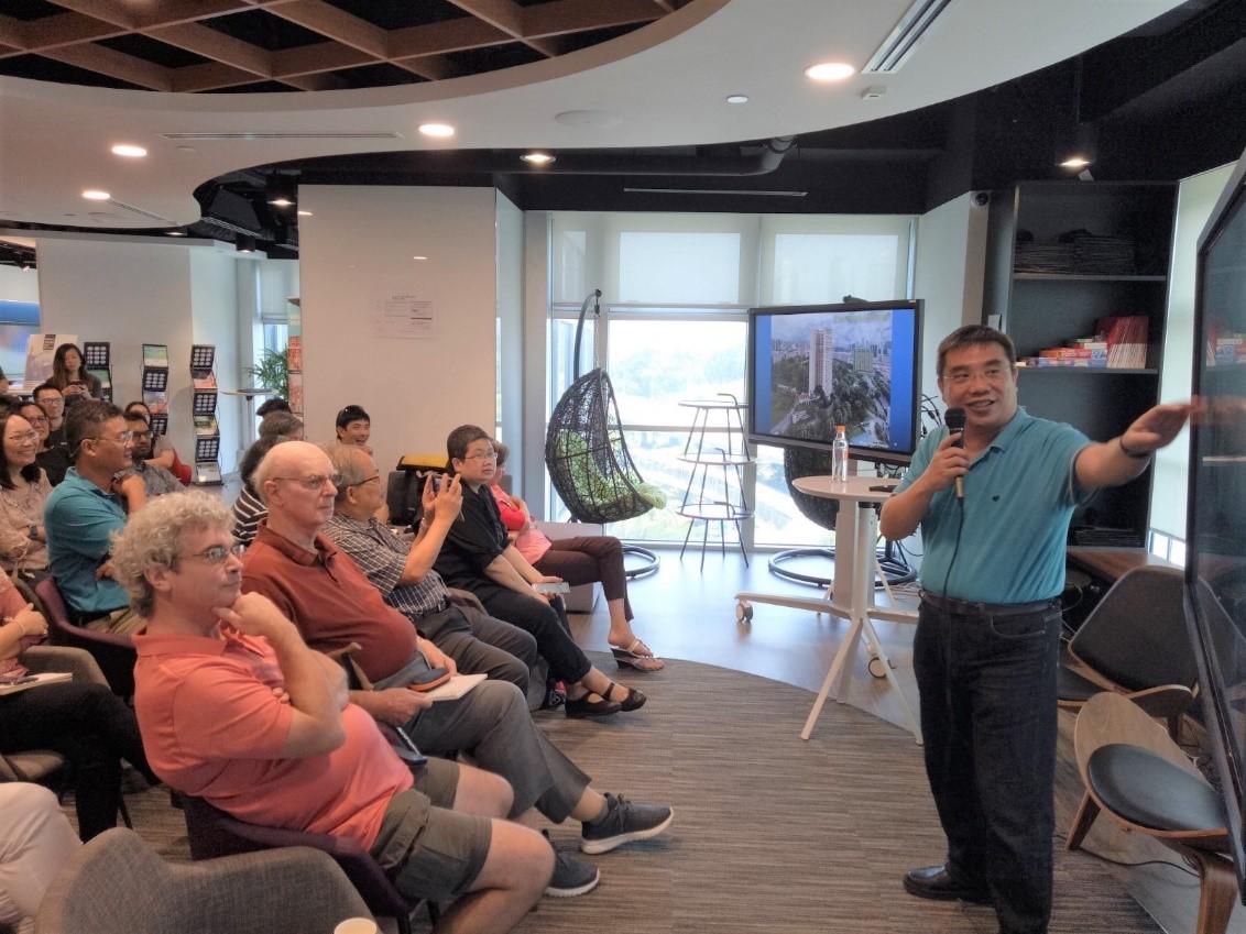
Additionally, the talk ‘Curious Tales from Singapore Maps’ was being held at the GeoCafe. Singapore map consultant Mok Ly Yng shared his cartographical discoveries from 20 years of research of historical maps of Singapore, with fascinating and humorous stories such as 19th century Europeans being misled by local names to believe in the existence of tigers in New Zealand.
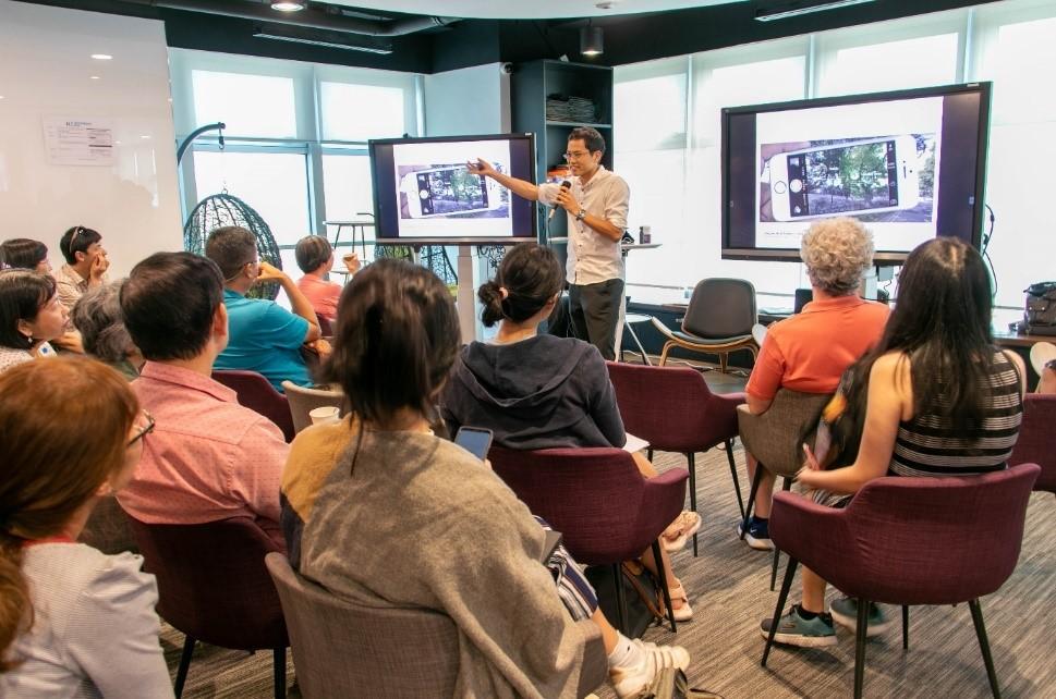
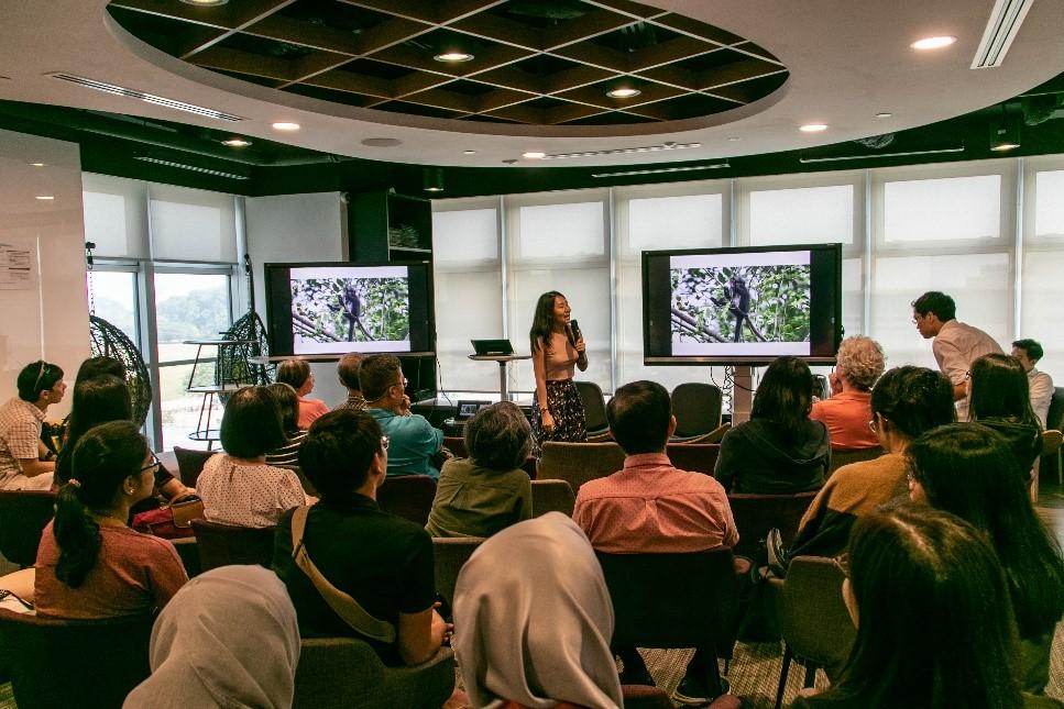
The workshops preceded a round of eight-minute-long lightning talks, during which speakers shared how other forms of technology such as augmented reality could synergise with geospatial technology.
Dr Andie Ang, a wildlife research scientist from the Banded Langur Working Group also shared about how geospatial technology is utilised to understand the spatial use of forest habitats and identify key conservation hotspots to ensure the long-term survival of the highly threatened primate species.
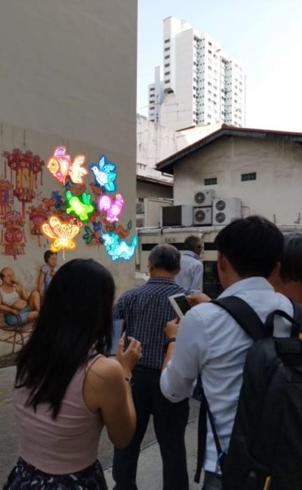
Finally, the day concluded with RGYF and Open House participants following LDR Technology’s LocoMole Yip Yew Chong Street Art Trail. Participants could scan street art along the streets of Chinatown and Tiong Bahru using the LocoMole location-based augmented reality travel experiential app, and witness sights like a 360⁰ view of traditional homes in Chinatown from the 1970s, learn about the meaning of Chinese couplets in English and watch murals come alive with animations and AR objects.
Thank you for your participation! See you at Singapore Geospatial Week 2020!
Watch the highlights of 2019’s Geospatial Week in the video below, with behind-the-scenes footage!