
|
Home >
Settings >
Archives >
April 2020 >
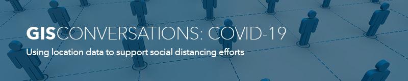
COVID-19 Webinar Series: Using location data to support social distancing efforts
COVID-19 Webinar Series: Using location data to support social distancing efforts
April 29, 2020
In response to the COVID-19 outbreak, Esri Singapore is launching a free COVID-19 webinar series that will look at how GIS solutions can be used to support key areas in business continuity and community management.
The first in the series – Using location data to support social distancing efforts – will focus on Esri’s crowd avoidance solution package, which gives an overview of real-time crowd density around Singapore.
Topic highlights
- Empowering the public to make informed decisions for their own safety
- Enabling corporations in ensuring that social distancing measures are observed
- Supporting response and relief efforts with GIS technology and expertise
- Accessing and visualising mission-critical information about specific disaster locations
Webinar details
Date: Wednesday, 6 May 2020
Time: 3.00pm – 4.00pm (SGT Singapore time) / (UTC/GMT +8 hours)
Book a slot for this webinar now and lock the date in your calendar.