
|
Home >
Settings >
Archives >
March 2021 >
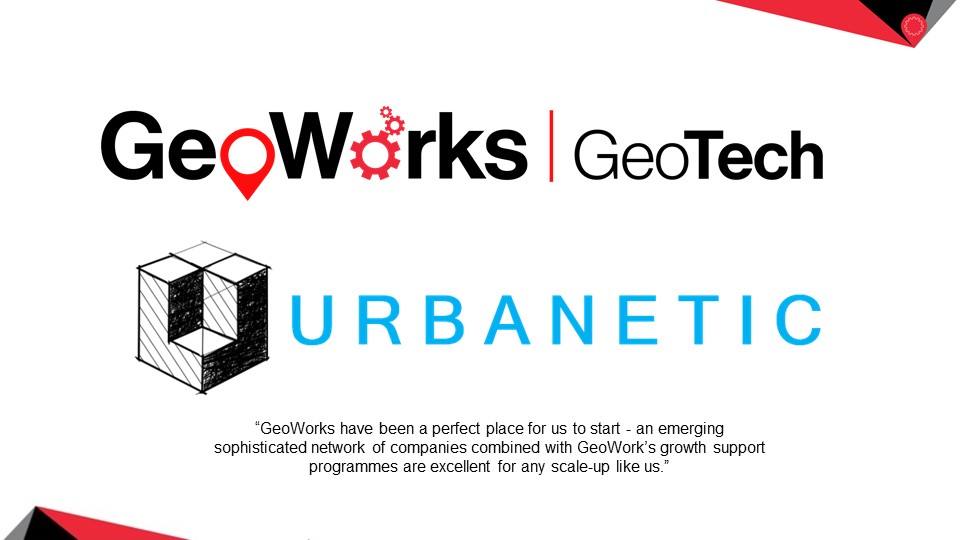
Meet a GeoWorks GeoTech: Urbanetic
Meet a GeoWorks GeoTech: Urbanetic
In this “Meet a GeoWorks GeoTech” series, Saibal D. Chowdhury, CEO and Co-founder of Urbanetic Pte. Ltd, spoke about his company, its products and challenges they have faced.
Tell us about your company and its solutions
Urbanetic is a SaaS B2B platform to rapidly build parametrically modelled digital twins of cities to plan, finance and manage Built Environments. Our business purpose is to deliver significant impact on the total performance of the Built Environment and liberalise financing towards impactful ESG (Environmental, Sustainability and Governance) outcomes.
The problems we aim to solve include:
- The urban sustainability and sub-optimal performance of the Built Environment.
- Limited access to investment and financing options available in real estate.
- The trapped liquidity associated with real estate assets.
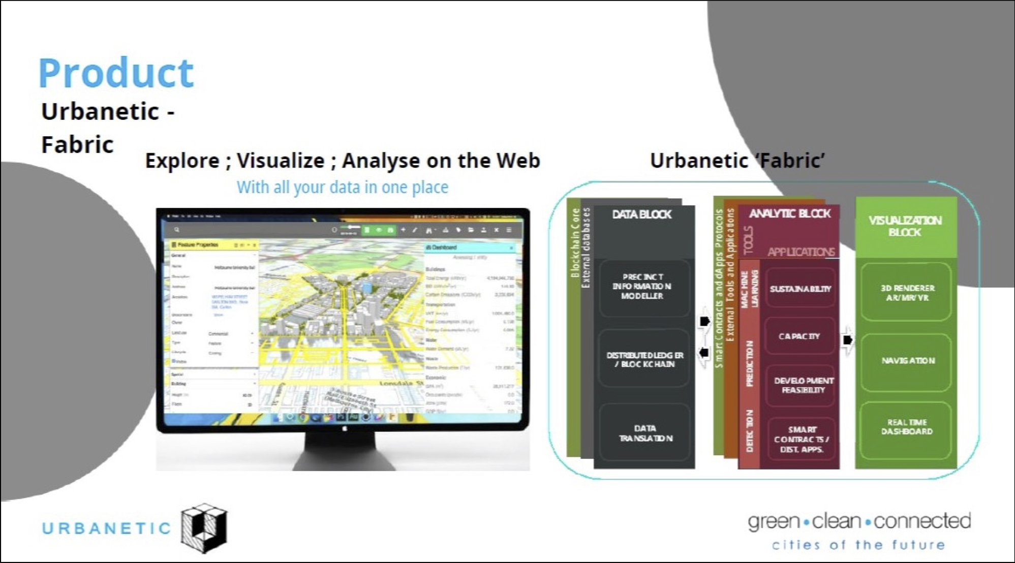
Fabric is a digital twinning platform for the Built Environment.
What is something about your company that the general public might not know about?
We are a Singapore company with global presence - selling Singapore’s technological achievements in Smart City solutions to the rest of the world.
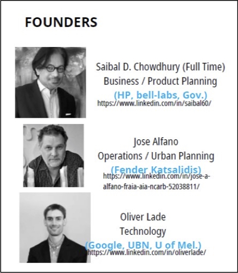
Mr Saibal D. Chowdhury (top) is one of the founders of Urbanetic.
What are some challenges you have faced in your work?
It is very difficult and even impossible to find skilled geospatial developers and so, we have to go outside Singapore to source talents.
How has your experience with GeoWorks been?
GeoWorks have been a perfect place for us to start - an emerging sophisticated network of companies combined with GeoWork’s growth support programmes are excellent for any scale-up like us.
How does geospatial technology help you in your work?
This is all that encompasses we do - we develop advanced geospatial technologies.
Are there any challenges that come with working with geospatial technology?
Skill sets and programming talent.
In your opinion, what skills are needed to work in the geospatial industry?
Dual talent combining subject matter with coding skills. For instance, an architect with good coding skills.
Do you have any advice for aspiring entrepreneurs?
Have a clear purpose and a game-plan but be very flexible to change it as required, even if it is on a daily basis (in the early days it changes often).