Home >
Settings >
Archives >
September 2020 >
#SgGeoWeek Panel: The Future of Geospatial
#SgGeoWeek Panel: The Future of Geospatial
“What is
the future of geospatial?” - that was the question tackled by the panel
speakers at the launch of Singapore Geospatial Week+ 2020 and plenary session
organised by Singapore Land Authority’s GeoWorks. The panel was moderated by Mr.
Ng Siau Yong, Director, Geospatial & Data and Chief Data Officer of
Singapore Land Authority, with distinguished speakers from OGC, ITB and Esri.
Emergent trends clusters
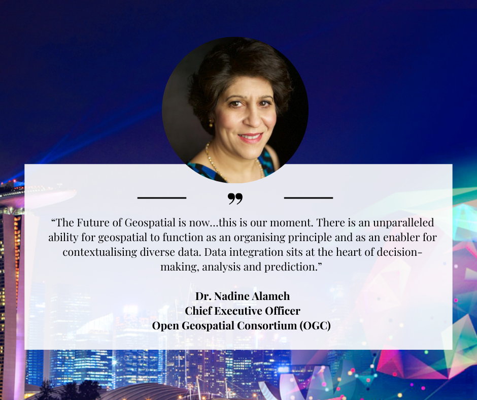
Dr. Nadine Alameh,
Chief Executive Officer of the Open Geospatial Consortium (OGC), an authority
for standards for geospatial information shared that OGC’s mandate is to make
geospatial location and information FAIR:
F- findable
A- accessible
I- interoperable
R- reusable
Geospatial cuts
across many technology areas: spatial data on the web, AI & machine
learning, connected autonomous vehicles, Edge computing, new space exploration,
GeoEthics, geospatial data science, urban digital twin, immersive geo: AI XR,
open API management, and model interoperability, amongst others.
“The Future
of Geospatial is now…this is our moment. There is an unparalleled ability for
geospatial to function as an organising principle and as an enabler for contextualising
diverse data. Data integration sits at the heart of decision-making, analysis
and prediction,” said Dr. Alameh.
Jobs made new
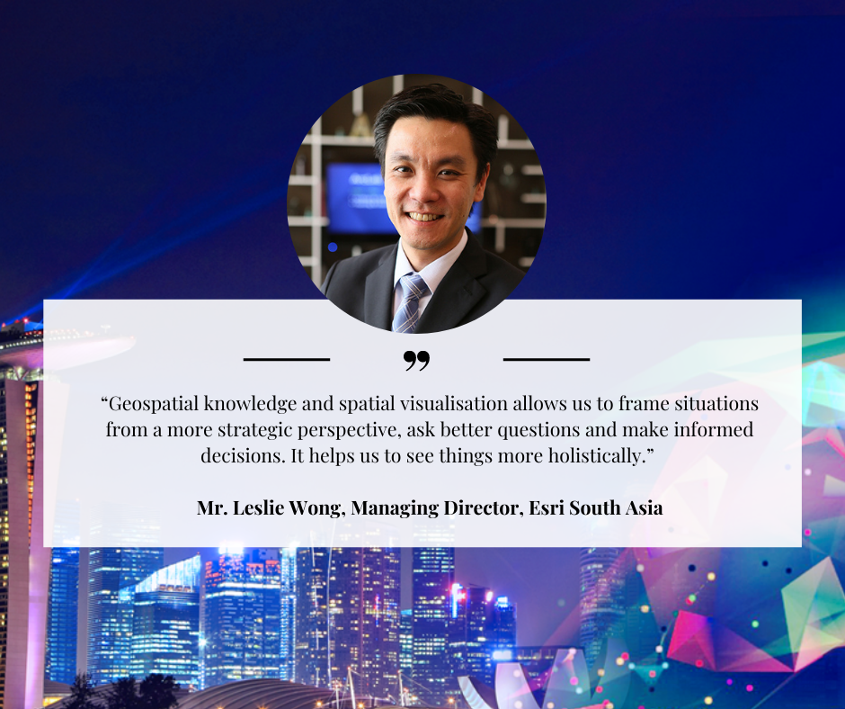
On how jobs can be redefined,
Mr. Leslie Wong, Managing Director of Esri South Asia
said, “Geospatial knowledge and spatial visualisation allows us to frame
situations from a more strategic perspective, ask better questions and make
informed decisions. It helps us to see things more holistically. There is also an
upgrade effect on jobs. Yes, there will be new jobs however a large part of it
will be “jobs made new”. That said, GIS is an assistive technology, it will not
replace human expertise.”
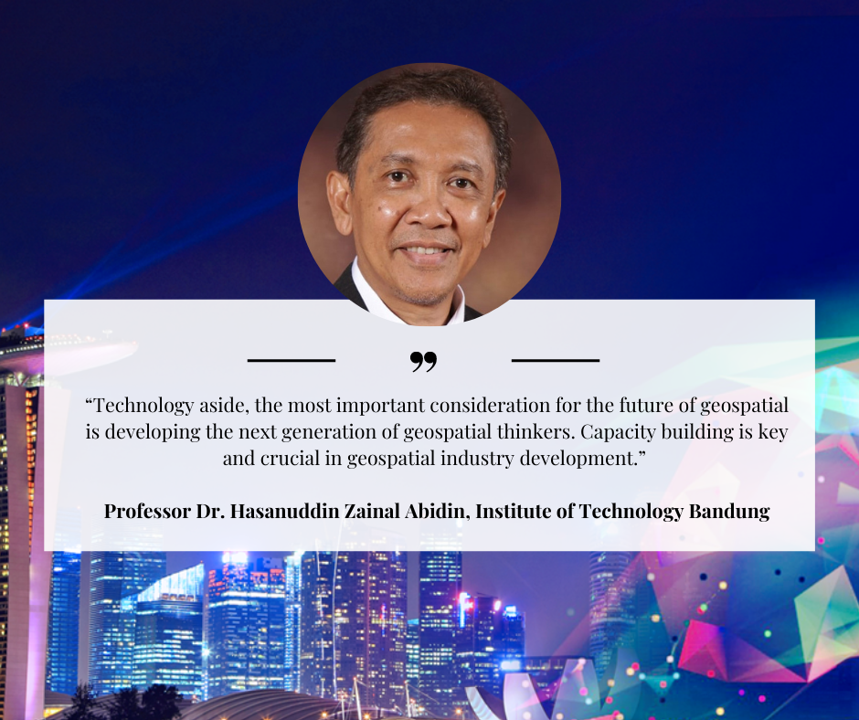
Significant drivers for development and potential roadblocks
According to Professor Dr. Hasanuddin Zainal Abidin,
Institute of Technology Bandung Chairman, Geospatial Information
Agency Indonesia (2016-2020), geospatial data and information is becoming
increasingly important and useful to support the development process in various
sectors of life in Indonesia. ”Technology aside, the most important consideration
for the future of geospatial is developing the next generation of geospatial
thinkers. Capacity building is key and crucial in geospatial industry development.”
The topics of privacy and GeoEthics were discussed by the speakers. Mr. Wong
stated that the biggest blocker can be mindsets and that although we deploy a
wide array of technology and tools to solve problems, it still takes will for
people to come and work together and that when it comes to data
interoperability: “Collaborations happen in the speed of trust.”
In
addition, Dr. Alameh shared that there may be industry standards however there
is a need for urgency to act and hence COVID-19 and disasters may be unexpected
circumstances but sometimes good do come out of these situations. She added in
her conclusion that we need to be more anticipatory of such incidents in the
near future.