
|
Home >
Settings >
Archives >
May 2021 >
Geospatial Industry for Smart City Development
Geospatial Industry for Smart City Development
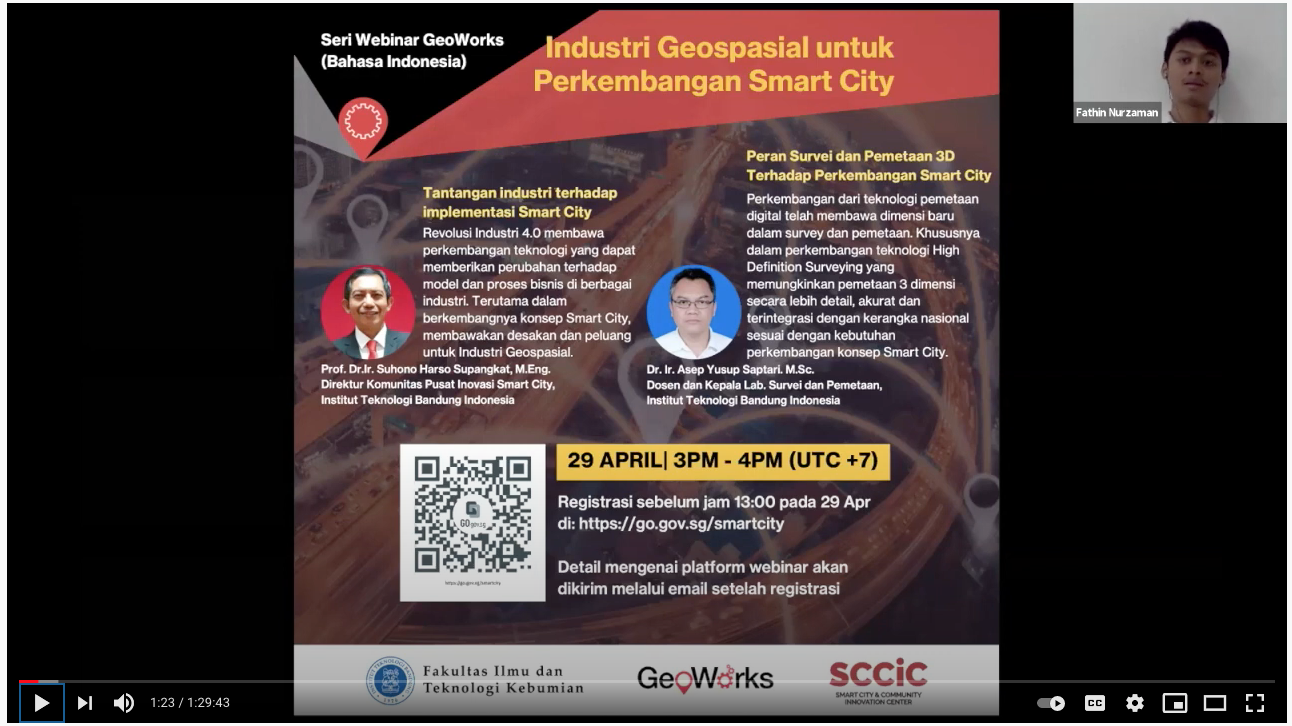
GeoWorks, in collaboration with FITB ITB, organised a webinar, “Geospatial Industry for Smart City Development”, in Bahasa Indonesia on 29th of April 2021.
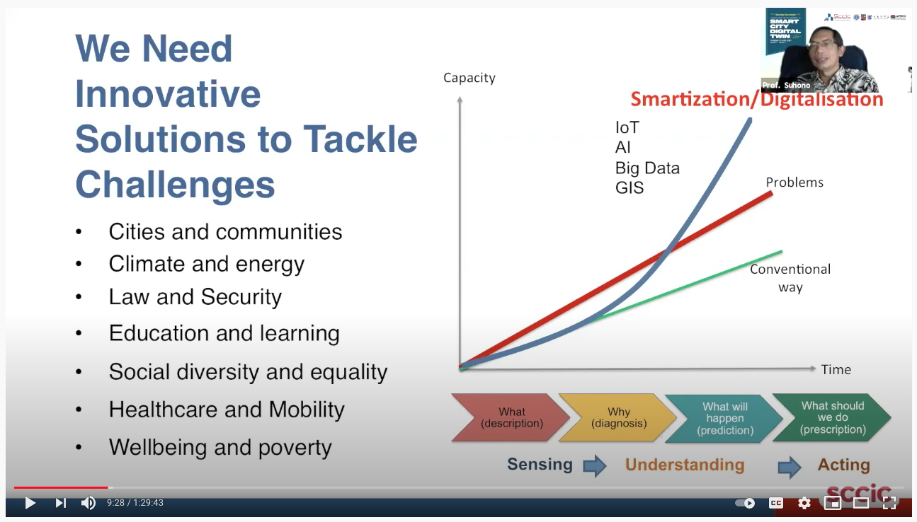
During the session, Director of Smart City and Community Innovation Center ITB, Prof. Dr.Ir. Suhono Harso Supangkat, shared his insights about industry challenges in smart city implementation. With Industry Revolution 4.0 having some disruptive technologies, business processes and business models, including those in the geospatial industries, will be disrupted.
Prof. Dr.Ir. Suhono Harso Supangkat, Director of Smart City and Community Innovation Center ITB.
Another speaker, Mr. Asep Yusup Saptari, Head of Survey and Mapping Laboratory of Bandung Institute of Technology, discussed the role of 3D survey and mapping education in smart city development. A key highlight from his speech was that all surveyors need to adapt and overcome the technological innovation and difficulties to become smart surveyors in smart city developments.
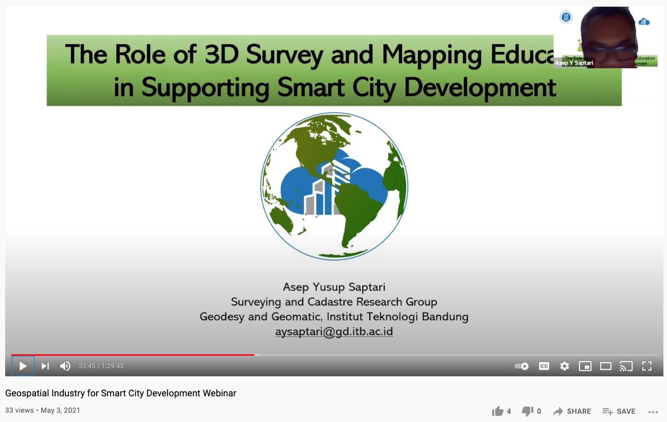
Mr. Asep Yusup Saptari, Head of Survey and Mapping Laboratory of Bandung Institute of Technology.
The event ended with closing statements from the webinar moderator and reminded the audience that Indonesia is still in the early stage of smart city development and that the younger generation need to embrace themselves to build a better place for the future through smart city development.
View recording here.