
|
Home >
Settings >
Archives >
May 2021 >
GeoInnovation in the Built Environment
GeoInnovation in the Built Environment
The relationship to the built environment, the stages in the urban built environment sector and the perception of Singapore as a massive concrete jungle. These were some of the topics covered at a recent webinar on smart approaches in infrastructure planning and design. Held on 6 May 2021, the virtual discussion, “GeoInnovation in the Built Environment”, was organised by Esri Singapore (a GeoWorks GeoPartner), in collaboration with GeoWorks.
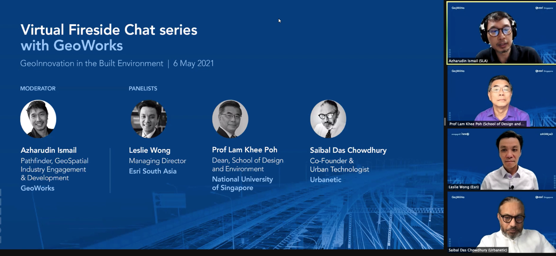
The speakers on the panel were Prof Lam Khee Poh, the dean of National University of Singapore’s School of Design and Environment, Saibal Das Chowdhury, the co-founder of Urbanetic (a GeoWorks GeoTech) and Leslie Wong, the managing director of Esri South Asia. During the discussion, the panellists were asked about their views on Singapore’s Built Environment industry.
Leslie Wong from Esri South Asia, said that Singapore, being a “land constrained area”, has had many “creative thinkers and planners create spaces, places and networks or infrastructure.” “When we face constraints, somehow we're forced to be more innovative,” he said.
Mr Wong added there are four stages in the urban built environment sector – planning and design, construction, maintenance and operations, and community engagement. “It is a life cycle. Some assets have longer life cycles than others.” People, he said, typically specialise in only one or two among the four stages. Knowledge, he added, can get lost from one stage to the next. “I believe that all the players in all these four stages do have a general desire to want to be able to be more effective and efficient in taking over and passing on the asset in this different lifecycle to the next stage.”
|
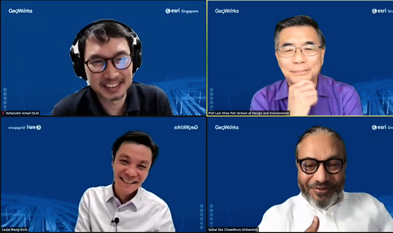
| Clockwise from top left: Webinar moderator Azharudin Ismail (GeoWorks), Prof Lam Khee Poh (Dean of the NUS School of Design and Environment), Saibal Das Chowdhury (co-founder of Urbanetic) and Leslie Wong (managing director of Esri South Asia). |
There is a need to reflect on one’s relationship to the built environment, said Prof Lam from the National University of Singapore. “It's something that I suppose we all take for granted because we live, work and play in it. We each sleep in it. And we just take it all for granted that it is there and therefore, the assumption that somebody somewhere somehow will take care of everything of the environment and that is really far from the truth,” he said. “It is really a collective endeavour to create a built environment that supports the live, work and play,” Prof Lam said, adding that this includes not only the efforts of planners and designers but also that of the occupants. The COVID-19 pandemic, he added, has taught many lessons and has shown the importance of having a “holistic approach to the built environment and not just think of it as an industry per se”.
Prof Lam also referred to the Singapore Green Plan during the discussion and said that the built environment directly or indirectly impacts and contributes to most of its pillars – ‘City in Nature’, ‘Sustainable Living’, ‘Energy Reset’, ‘Green Economy’, ‘Resilient Future’ and ‘Green Government’. “I think those pillars all have a direct connection to the built environment and therefore the quantitative kind of objective that are being sort of shared through those pillars are something that I think the GIS movement and the IT movement can really address and support moving forward,” he added.
Saibal Das Chowdhury of Urbanetic said that as “an outsider” who was not born in Singapore, the perception of Singapore is that it is a “massive concrete jungle”. “Space means a sense of space – that's very important from the design perspective. And that makes Singapore very special. We're only taking 34 percent of the total land mass and we are still creating a space and taking the space and we are actually creating a liveable city. And that to me is a revelation.”
Other topics covered during the event, which was part of the Virtual Fireside Chat series, included advancements in the built environment industry, smarter approaches to infrastructure planning and design with geospatial technology. The speakers also addressed questions on using geospatial technology at work and on upskilling opportunities.
View the webinar recording.