
|
Home >
Settings >
Archives >
June 2021 >
Using Geospatial Data to Ignite Innovations
Using Geospatial Data to Ignite Innovations
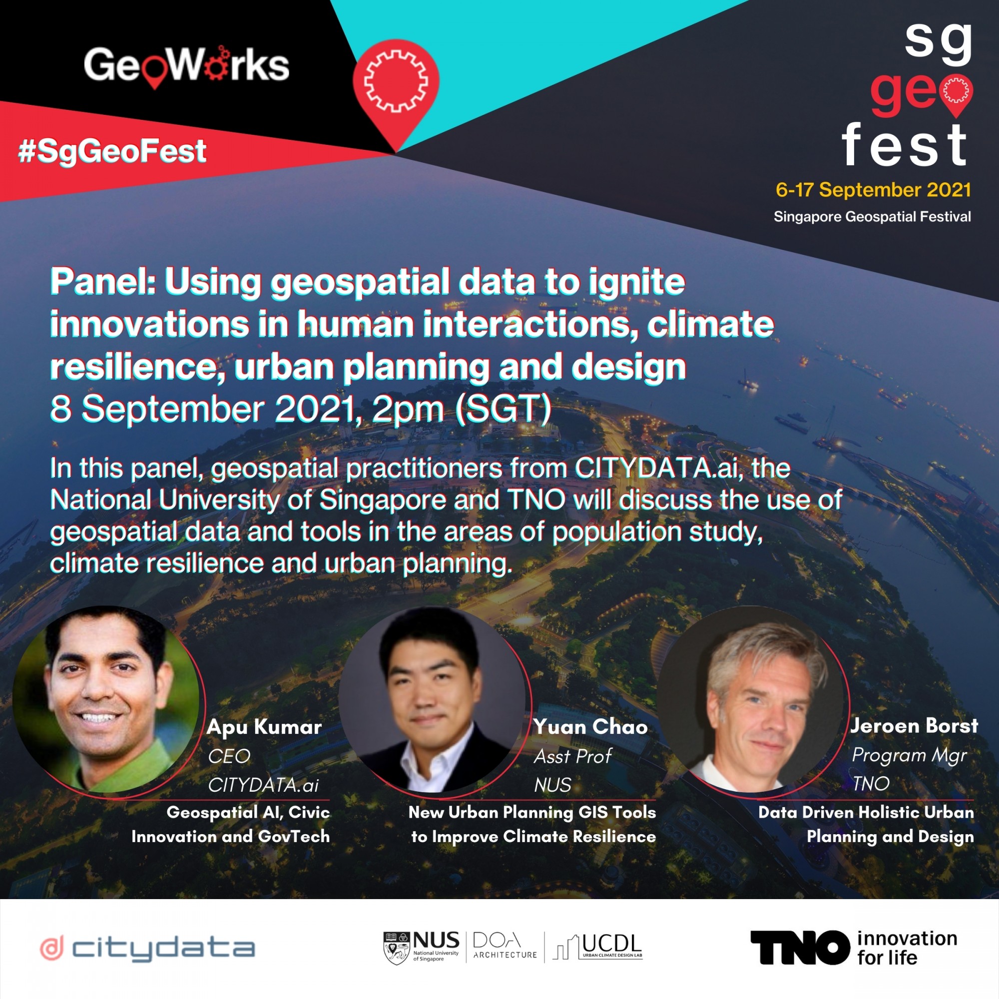 Geospatial practitioners - Apu Kumar from CITYDATA.ai (GeoWorks’ GeoMember), Yuan Chao from the National University of Singapore and Jeroen Borst from TNO (GeoWorks’ GeoTech) - will take part in a panel on geospatial data at the Singapore Geospatial Festival 2021 #SgGeoFest this September.
The session, “Using Geospatial Data to Ignite Innovations in Human Interactions, Climate Resilience, Urban Planning and Design”, will take place on the 8th September. View below for more details on the panel.
For more information on the Singapore Geospatial Festival 2021, visit:
Panel Details |
|||
|
Geospatial AI, Civic Innovation and GovTech
Apu Kumar, CEO, CITYDATA.ai
CITYDATA.ai’s CEO, Apu Kumar, will highlight the company’s Geospatial AI platform that simulates the presence and movement of people through fresh, accurate, anonymised and crowdsourced mobility data. Their data APIs and visualisation apps reveal the influence and impact of the real-world physical environment on the behaviours, actions, choices and preferences of populations.
|
  |
||
|
New Urban Planning GIS Tools to Improve Climate Resilience
Yuan Chao, Assistant Professor (Presidential Young Professor), National University of Singapore
Asst Prof Yuan Chao from the National University of Singapore, will discuss geospatial data and climate resilience. Dr Yuan is Presidential Young Professor at the Department of Architecture, NUS. He is the founder and principal investigator of NUS Urban Climate Design Lab. His research interests focus on climate-sensitive urban planning and design for sustainable, resilient cities.
|
  |
||
|
Data Driven Holistic Urban Planning and Design
Jeroen Borst M. Sc., Program Manager Digitalisation for Accessibility and Livability, TNO
Jeroen Borst from TNO will share insights on how Urban Strategy, a data driven digital platform for holistic urban planning and design, enables detailed assessment of the environmental and spatial impact of re-designing urban spaces. Fast calculations through multiple, interconnected domains and an interactive user interface enables cities to strategically plan and manage their urban planning challenges more effectively.
|
  |
||