
|
Home >
Settings >
Archives >
June 2021 >
GeoMarketplace: Meet GeoTechs from Around the World
GeoMarketplace: Meet GeoTechs from Around the World
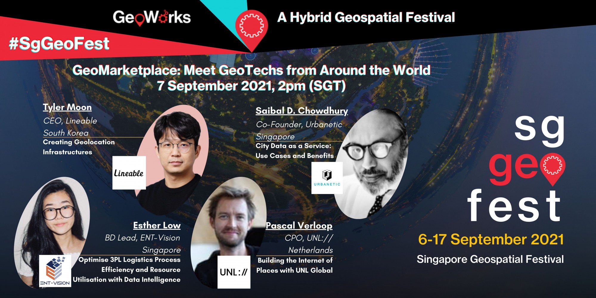
GeoWorks’ GeoTechs – ENT-Vision, Lineable, UNL:// and Urbanetic – will provide demonstrations of their products at the #SgGeoFest GeoMarketplace, a session specifically aimed at highlighting geospatial products, during the Singapore Geospatial Festival in September.
The geospatial companies – who are enrolled in the GeoWorks’ GeoInnovation Programme – will also share insights about their organisations during the #SgGeoFest session, themed “Meet GeoTechs from Around the World”, on the 7th September.
Organised by GeoWorks, Singapore Land Authority’s geospatial industry centre, the Singapore Geospatial Festival 2021 which will take place from 6 to 17 September, will bring the international geospatial community together for activities promoting the use of GPS/location-based and mapping innovation.
Register your interest to attend: GeoWorks@sla.gov.sg
For more information: https://www.geoworks.sg/programmes/singapore-geospatial-festival
#SgGeoFest
|
|
||
| Programme Highlights: GeoMarketplace | ||
“Optimise 3PL Logistics Process Efficiency and Resource Utilisation with Data Intelligence”
Esther Low, Business Development Lead, ENT-Vision (Singapore)
Manual processing of delivery orders and job assignments are often labour-intensive, time consuming and mind-numbing. Ent-Vision uses Artificial Intelligence (AI), Natural Language Processing (NLP), Machine Learning (ML), and geospatial technology to automate delivery order data extraction and optimise assignment of jobs and route planning. This solution significantly reduces manpower and cost, leading to a greener and smarter city with fewer trucks on the road.
About ENT-Vision
A solution provider in the Asia Pacific region that helps organisations discover opportunities from data insights
|
  |
|
|
“Creating Geolocation Infrastructures“
Tyler Moon, CEO, Lineable (South Korea)
Lineable is a hardware-based company focused on creating smart and connected wearables and geolocation solutions for families. The Lineable Marker serves to improve existing geolocation infrastructure by creating a smart IoT-fied environment, thus enabling the Lineable Bands to be widely deployed as connected wearables, as well as the IoT-fied manhole cover. In this session, learn more about two case studies and how their unique technology solves the limited battery capacity of these infrastructures as well as contribute to consumer safety.
About Lineable
Connected wearables and geolocation solutions for families
|
  |
|
|
“Building the Internet of Places with UNL Global“
Pascal Verloop, Chief Product Officer (CPO), UNL:// (The Netherlands)
Fusing the physical and digital worlds is the next frontier in building and maintaining the accuracy, quality and relevance of mapping and location-based solutions. How can we do this at scale? How can we leverage the Internet of Places to build immersive, hyperlocal experiences, services and apps? In this webinar, you will learn:
About UNL://
A smart addressing platform for navigation and location-based services.
|

 |
|
|
“City Data as a Service : Use Cases and Benefits“
As organisations across the world embark on digital transformation, the benefits are not the same for everyone. In many cases, companies are becoming data rich but information poor. The critical success factor is identifying the data that require digitisation and on unifying and utilising them.
About Urbanetic
SaaS platform for planning and management of sustainable built environments using Digital Twins
|
  |
|