
|
Home >
Settings >
Archives >
June 2019 >
GeoWorks Presents Geospatial Innovations At Innovfest Unbound 2019
GeoWorks Presents Geospatial Innovations At Innovfest Unbound 2019
June 20, 2019
Geospatial information and technology is a driver in the vision of a future intelligent market economy. Geospatial information has tremendous potential to transform services, streamline business processes and help companies gain competitive advantage with geospatial data analytics. Companies can leverage on the ‘where’ element in geospatial data to enhance the various stages of their business value chain.
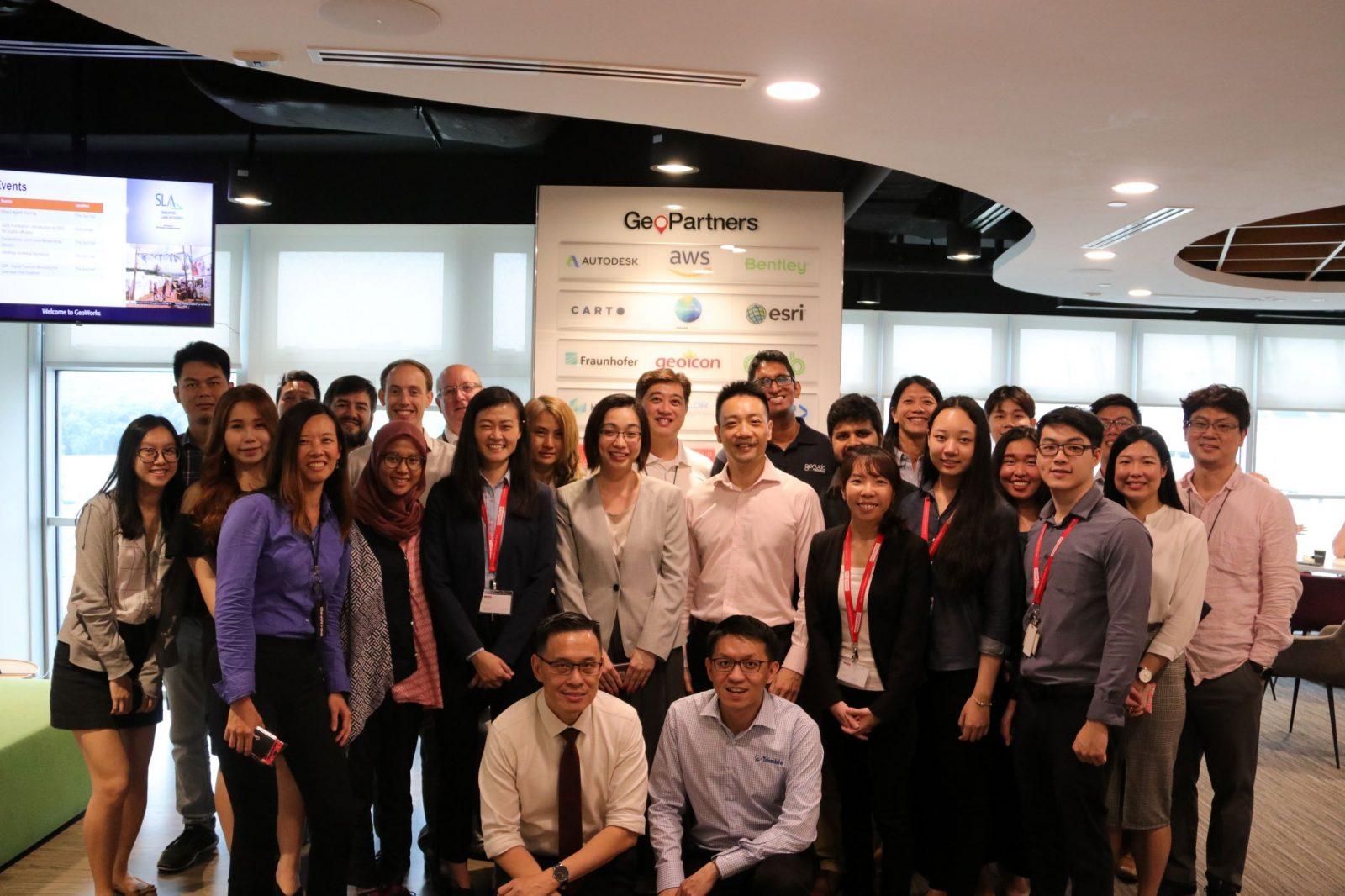
GeoWorks was set up by the Singapore Land Authority (SLA) as an industry centre to galvanise the geospatial industry by connecting geospatial businesses, entrepreneurs as well as users and supporting them with the resources and expertise to catalyse geospatial innovation and solutions.
The GeoWorks showcase at Innovfest Unbound 2019 held at Marina Bay Sands Singapore from 27th and 28th June 2019 will feature geospatial technologies and applications from 16 GeoWorks GeoTechs and GeoPartners that range from drone, air taxis, mapping and GPS/location-based technologies; geospatial data visualisation and analytics; remote sensing; autonomous vehicles; artificial intelligence, Internet of Things, Virtual/Augmented Reality and more.
Key highlights at the GeoWorks showcase:
- Air taxis, drone technology and solutions by GeoTechs Volocopter, Skyports, Airmap and Garuda Robotics.
- Satellite imaging with Synthetic Aperture Radar (SAR) system for urban development assessment and analysis by GeoTech Synspective, a Japanese satellite company. Compared with optical imaging, SAR is able to penetrate cloud cover and to acquire high resolution images even during nighttime.
- Augmented Reality and Virtual Reality bicycle route simulation by GeoPartner PTV Group to showcase the travel behaviour of pedestrians and vehicles on the street with the use of virtual environment, traffic microsimulation and a game engine.
- Mobile map scanning technologies via a handheld device integrated with Augmented Reality (AR) technology by GeoPartner Trimble
SLA Geospatial and Data Director and Chief Data Officer Ng Siau Yong said that since the inception of Geoworks in July last year, GeoWorks has hosted 25 geospatial entrepreneurs, both local and international, and matched them with the resources from industry partners to scale up their service and reach in Singapore and beyond.
“Our presence at Innovfest Unbound is intended to showcase the rapid growth and acceptance of geospatial technologies by enterprises and the community at large. In tandem, we hope to encourage more creative entrepreneurs to enter this space, as they help us expand our nation’s Smart City development through geospatial information science and technology,” said Mr Ng.

Quotes from GeoWorks GeoTechs
Volocopter Head of Strategic Expansion Peter Littau said “GeoWorks is strategically placed in Singapore as a gateway to the Southeast Asian region. As a GeoTech, we highly appreciate the great support and connectivity GeoWorks offers with business partners and the relevant high-tech startups in the field of future mobility.”
"Using data and geospatial technology, MOGUL.sg, a GeoWorks GeoTech, has engineered an intelligent platform that re-indexes the map with amenities verified by multiple government agencies. This allows users to search for properties based on keywords hence moving away from the conventional means of searching and yielding more relevant search results due to the smart matching system powered by AI," said Gerald Sim, Founder, MOGUL.sg.
About GeoWorks
GeoWorks is the first geospatial industry centre in Southeast Asia. It was set up by SLA to promote business growth, drive innovation, and enable a well-connected community in Geospatial Information and Technology. Under the GeoWorks GeoInnovation programme, GeoWorks currently houses over 25 local and international geospatial start-ups and scale-ups from different industry segments within its facility. GeoWorks also runs regular training sessions, partner and community events. GeoWorks’ key initiatives include GeoChallenges that match solution providers with sector users looking to solve their geospatial issues; joint innovation projects; OneMap and data licensing.
About SLA
Singapore Land Authority (SLA) is a statutory board with the Ministry of Law. Its mission is to optimise land resources for the social and economic development of Singapore. SLA manages some 11,000 hectares of State land and about 5,000 State properties, which have largely been tenanted out for a variety of uses. It also manages land sales, leases, acquisitions and allocation, developing and marketing land-related information, and maintaining the national land information database through digitised land information services. Being the national land registration authority for property transactions, SLA issues and guarantees land titles in Singapore. It also manages and maintains the national land survey system, where boundaries or legal limits of properties are defined, based on a coordinated cadastre survey system. The use of geospatial information is also spearheaded by SLA through a national collaborative environment where geospatial data, policies and technologies are established and defined, thereby fostering innovation, knowledge and value creation for the Government, enterprises and community.
For more details, visit www.sla.gov.sg or find us on Facebook and Instagram @SingaporeLandAuthority.
Read more about our GeoTechs and GeoPartners below!
Volocopter (Germany) is building the first manned, fully electric and safe drone air taxi fleet/electrical vertical take-off and landing multi-copters (eVTOL)vtol in the world. It wants to make humanity’s dream of flying come true and help modern cities resolve their increasing mobility issues |
|

|
Garuda Robotics (Singapore) is a developer of enterprise-grade drone and drone data solutions for enterprises, governments, and professional drone operators. Its products and services are deployed in the agriculture, infrastructure, security, and logistics industries throughout Asia to capture, analyse and leverage aerial data at scale. |
| AirMap (USA) is the leading global provider of aeronautical data & services to unmanned aircraft, or drones. They help to maintain situational awareness, request digital authorisation, get traffic alerts, and more. |
|
| Skyports (UK) is the first in the market in securing, designing, building and owning passenger and cargo vertiports in the world’s major cities. They help to connect the world through the skies by owning and operating infrastructure for urban aviation and managing drone deliveries, reducing inefficiencies associated with traditional transportation methods. |
|
| Synspective (Japan) is a one-stop geospatial solutions provider for solution services with satellite data, and the development and operation of SAR satellites. Having their own satellites and advanced analysis technology allow them to respond to new customer requirements quickly, provide clients with user-friendly information and engage in reliable data acquisition. |
|
| The Singapore Space and Technology Association (SSTA) focuses on developing Singapore’s Space and related high technology industries. They spearhead major trade and business-focused initiatives targeted at advancing the space ecosystem, host global meets and organise outreach programmes that support the discovery and exploration of space-related activities. |
|
MOGUL.sg is Singapore’s first major and smartest property portal which helps home seekers in Singapore to find their dream home easily. Diverging from traditional search engines with few search parameters, MOGUL.sg utilise a keyword-based search system with an in-built AI that push for personalized recommendations and a customer-keyword database of over 5000 (and growing) words describing characteristics of properties. |
|
PTGEM is a Singaporean company developing 3D web geolocalised IoT visualizations. They focus on building the most natural visualisation solution for complex IoT projects and making sure their application brings the physical space encompassing your business into the digital world. |
|
GeoSpock® provides analytics and enables prediction across space and time. Their leading database technology, optimised for cloud architecture, allows for the rapid ingestion, indexing and querying of geospatial big data. As a provider of high performance, low-cost cloud-based services such as infin8™ and illumin8™, GeoSpock can handle trillions of data within seconds for their clients. |
|
|
Schoolber Technologies provides Location Intelligence and Geospatial Analytics to Data. They empower companies with better Data Visualisation, Data Collection (IoT & Sensors), Data Mobility, Data Security and Data Privacy. Additionally, they have developed powerful and low-cost Ecosystem SaaS platform for companies looking to go digital at affordable rates.
|
|
| Ent-Vision is a Tech Start-up specialised in AI & GeoSpatial solution for logistic & transportation industry. Building from ground up with a solid quality data foundation, Ent-Vision uses AI, ML, NLP, coupled with proprietary data clustering algorithms to help enterprises optimise logistic resources and minimise operating costs. |
|
GeoDEX, a data exchange platform that connects People, Assets, Processes & Data by Location, to empower decision-makers in organisations with operational intelligence so that they can See, Know and Act on everything that matters. |
|
| Equinox is Ongil’s location intelligent platform that provides location specific insights which enable organisations to define paradigm shifting revenue growth strategies and drive operational efficiency. To accomplish this, they have built a smart data pipeline that automatically cleanses data, fluid UI that makes exploratory data analysis powerful and algorithms that think. |
|
Trimble is transforming industries around the world by delivering products and services that connect the physical and digital worlds. Core technologies in positioning, modeling, connectivity and data analytics enable customers to improve productivity, quality, safety and sustainability. |
|
| PTV Group takes a holistic approach that integrates all facets of traffic, transport and logistics to create and promote sustainable mobility. As global market leader, PTV develops intelligent software solutions for transport logistics, traffic planning and traffic management enabling people and goods to arrive safely and promptly at their destinations while ensuring sustainability. |
|
| Grab is Southeast Asia’s leading super app that provides everyday services that matter the most to consumers. Through its open platform strategy, Grab works with partners to provide safe, accessible and affordable transport, food, package, grocery delivery, mobile payments and financial services to millions of Southeast Asians |
Click on the link below to download the PDF version!