
|
Home >
Settings >
Archives >
January 2021 >
Combining 3D City Data with Sensor Data
Combining 3D City Data with Sensor Data

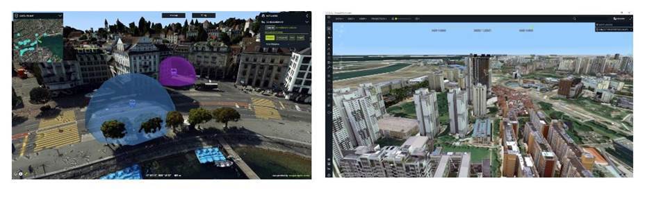
Learn how to smartly monitor infrastructure, traffic, or land parcels by processing all your sensor, asset, weather, and other operational data in a single platform. Hexagon's demo will be performed using SLA's 3D Singapore Sandbox.
We’ll also discuss the integration of live sensor feed into a 3D view. As a result, one can see buses moving though the street, get status updates of critical infrastructure items, and even combine panoramic imagery with other 3D datasets like terrain elevation, 3D models, and point clouds.
Registration
Date: 28 January 2021, Thursday
Time: 2:30 p.m. to 3:30 p.m.
Registration Details:
https://go.gov.sg/3dcitydata
*Kindly register in advance for this webinar. After registering, you will receive a confirmation email containing information about joining the webinar.
