|
Home >
Settings >
Archives >
December 2021 >
Highlights: Singapore Geospatial Festival 2021
Highlights: Singapore Geospatial Festival 2021
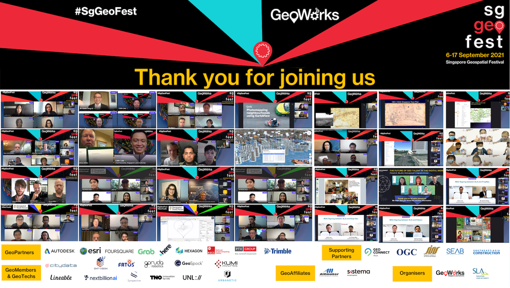
Organised by GeoWorks, the Singapore Geospatial Festival 2021, which had more than 2000 attendees, brought the international geospatial community together for co-located activities promoting the use of GPS/location-based and mapping innovation.
“This year’s #SgGeoFest will see a comprehensive line-up to build geospatial interest across new segments to reach special interest groups and even young students. It will be a chance to meet geospatial partners from around the world, to learn about their latest innovations, from creating Digital Twins for sustainable city planning, to using Augmented Reality for natural disaster response efforts," said Colin Low, Chief Executive of the Singapore Land Authority (SLA) at the launch of the Singapore Geospatial Festival on the 7th September.
SLA Launches OneMap3D and Signs MOUs
OneMap3D was officially launched on 15 September 2021 by the Minister for Culture, Community and Youth and Second Minister for Law, Mr Edwin Tong. OneMap is the national map of Singapore with the most authoritative and detailed map information.
Developed by the Singapore Land Authority (SLA), the 2D format of OneMap was first launched in 2010. In 2017, an enhanced version was rolled out with an expansion of location-based information and navigational services including real time traffic data, as well as Application Programming Interface (API) for application developers. Building on this foundation, SLA’s geospatial team began exploring new capabilities on using open-source 3D geospatial technology and 3D city modelling for the conversion of OneMap from 2D format to 3D. OneMap3D serves as a dynamic visualisation platform, presenting an immersive experience of a user’s surroundings.
Speaking at the launch of OneMap3D at the Singapore Geospatial Festival 2021 organised by SLA, Minister Edwin Tong said, “The development of OneMap3D marks an important milestone in Singapore’s geospatial journey. It is built on our commitment to enhance our geospatial capabilities and to provide new geospatial solutions for businesses, government, and the public.”
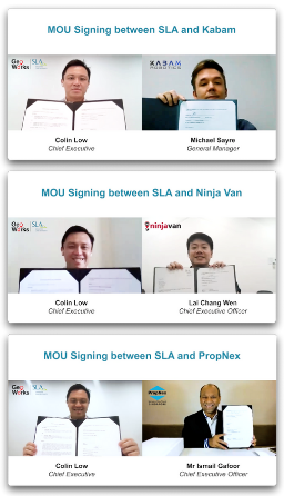
To further industry use and the development of geospatial technology through OneMap, SLA has signed three separate Memorandums of Understanding with Ninja Van, Kabam and PropNex.
The MOUs will foster collaborative ties and knowledge sharing between SLA and the three key industry players to leverage on geospatial data to support smart services and solutions.
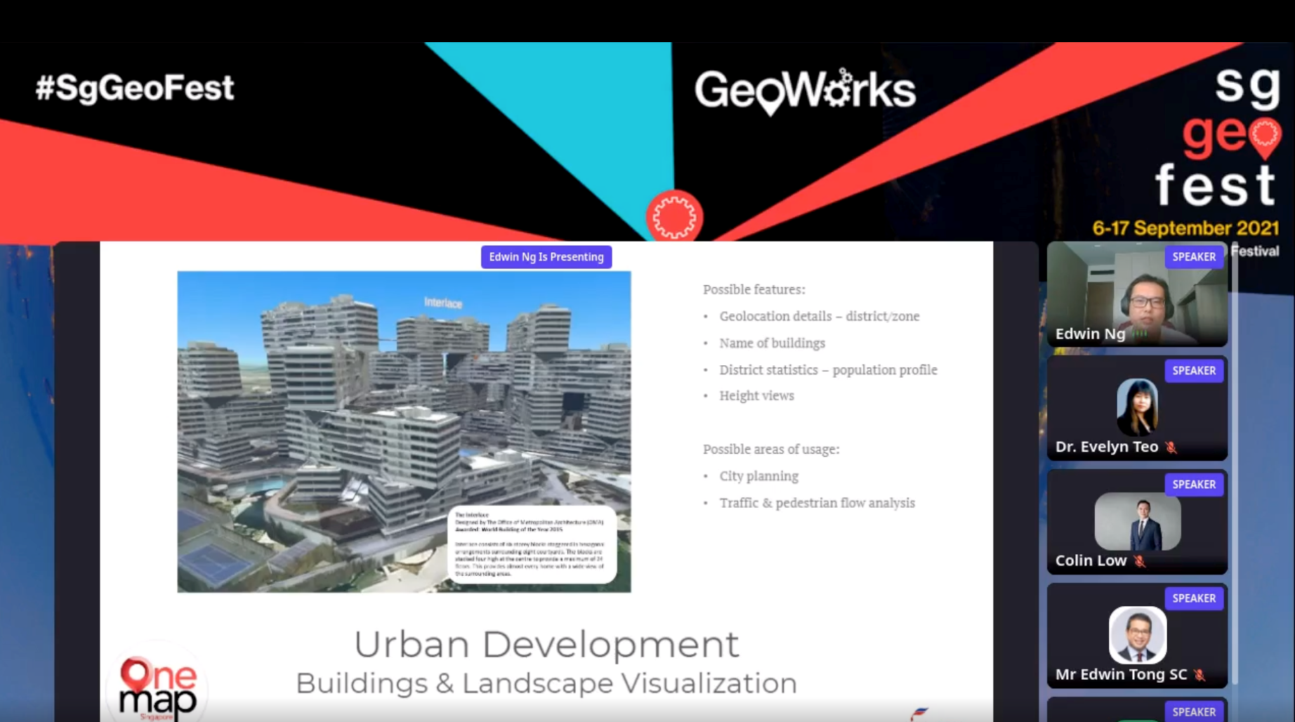
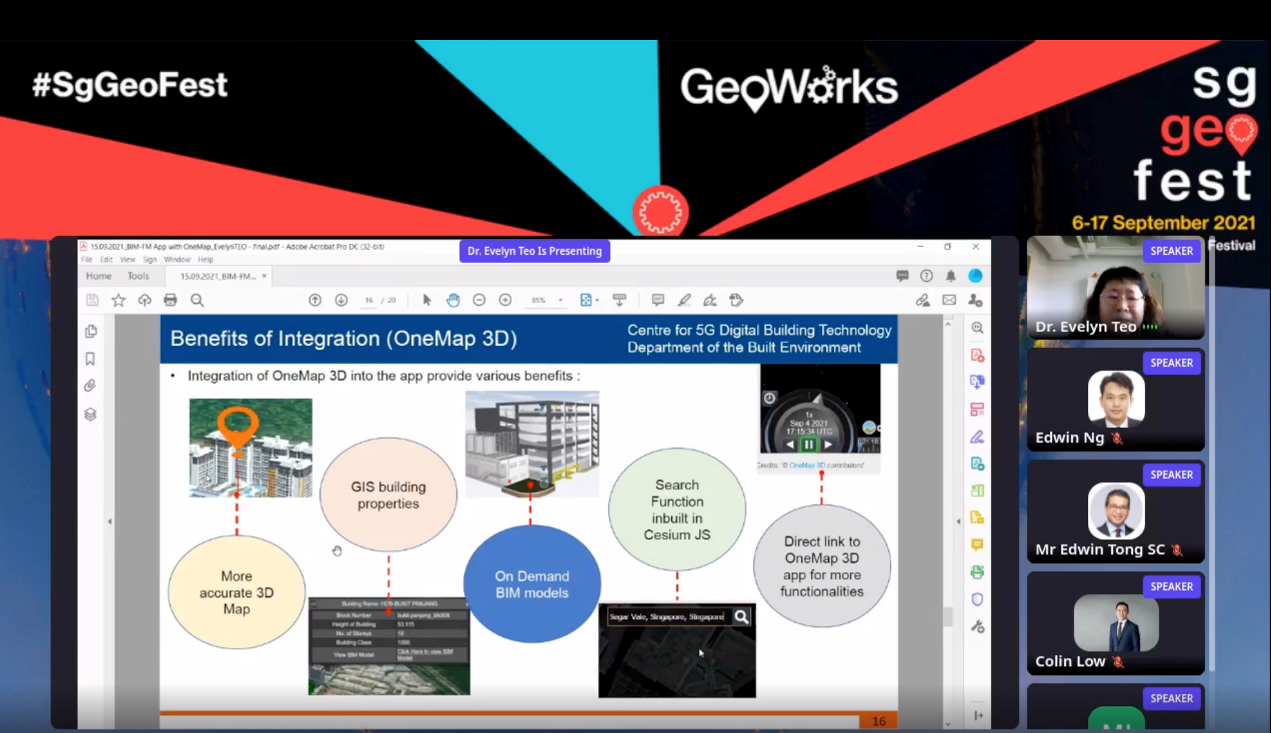
Industry use cases were presented by Edwin Ng, Co-Founder and Director of Business Development from AviationLearn and Prof Evelyn Teo, Associate Professor at the NUS - Department of the Built Environment.
Mr Ng discussed the use of OM3D data to integrate with AviationLearn’s ‘navigation training aid platform’ for simulation related to air flights such as planes, helicopters, UAVs and drones.
Dr Teo showcased the SLA and National University Singapore’s collaboration with the Holland Bukit Panjang Town Council and the Housing & Development Board to produce a one-stop BIM-based mobile and desktop application for managing facilities and township.
 Edwin Tan from AviationLearn
|
 Prof Evelyn Tan from NUS - Department of the Built Environment
|
View Recording of OneMap3D Launch
|
Other Highlights
Open Geospatial Consortium Sessions
The Open Geospatial Consortium (OGC) 120th Member Meeting was co-hosted by SLA at #SgGeoFest this year, marking the start of a three-year collaboration for the meeting. The OGC boasts an international community of experts focused on open standards and innovation through interoperable geospatial technologies.
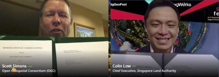
“OGC is very pleased to collaborate with SLA on advancing geospatial technology and best practices in the Asia-Pacific region and beyond. We will join hands in establishing a number of industry events in the coming years to benefit the professional geospatial community in this region, starting with this year’s Singapore Geospatial Festival,” said Scott Simmons the OGC’s Chief Standards Officer.
The OGC Asia Forum was held on the 17th September. The forum - an OGC member led group with representatives from companies, government organisations and Academia and research from across the region - connects experts to collectively support the OGC's mission of making data more findable, accessible, interoperable and reusable. The forum acts to ensure that the OGC standards and innovations are promoted throughout the region and influences the work of OGC globally.
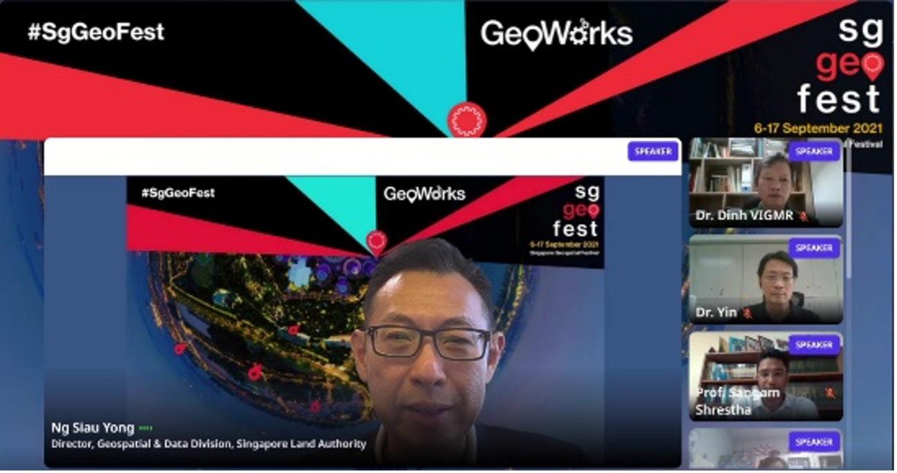
Mr Ng Siau Yong, Director, Geospatial and Data & Chief Data Officer from SLA gave a welcome address at the event.
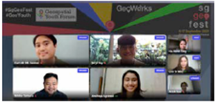
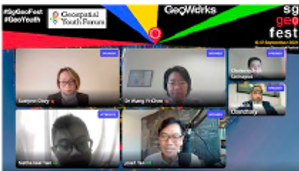
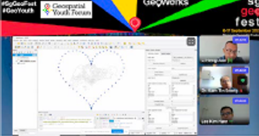
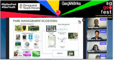
Regional Geospatial Youth Forum
The Regional Geospatial Youth Forum (RGYF) was held on the 16th September in conjunction with the Singapore Geospatial Festival 2021 #SgGeoFest with the aim of building interest, awareness and a community on the geospatial profession among youths in Singapore and ASEAN. The ASEAN Geospatial Challenge (AGC) 2022 was launched during the event.

|
|
|
|
|
For more details on AGC 2022, please visit:
Panels and International Community Talks
Read more:
https://www.geoworks.sg/settings/archives/october-2021/sggeofest-2021-geomarketplace-sessions
Discussions on earth observation, maps, 3D Singapore Sandbox, digital twins, geospatial data, geospatial research and women in geospatial careers were held during the two-week festival. A series of webinars on country-specific topics by speakers from Finland, Indonesia, Japan, Hong Kong SAR and the United Kingdom were also held during #SgGeoFest.

|

|

|

|

|

|
Read more:
GeoMarketplace Sessions
GeoWorks’ GeoTechs and startups from the Open Geospatial Consortium shared their innovations and solutions during three GeoMarketplace sessions on the 7th and 14th September.

|

|

|

|
https://www.geoworks.sg/settings/archives/october-2021/sggeofest-2021-geomarketplace-sessions
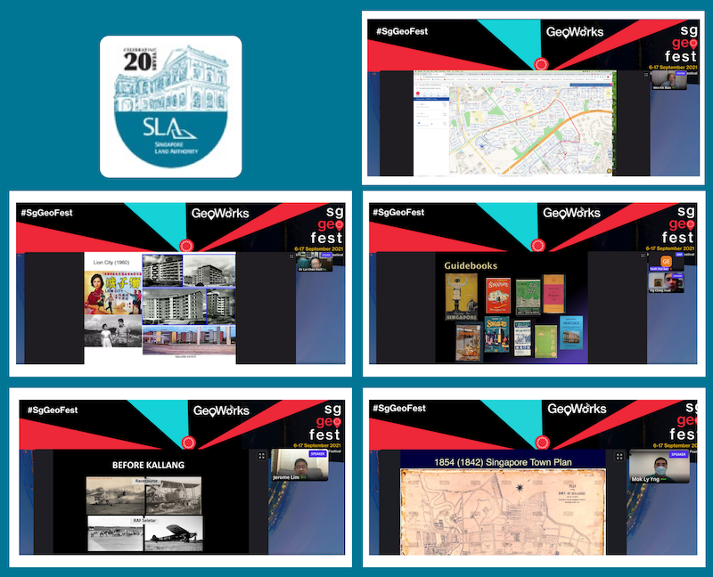
SLA 20th Anniversary Talks
As part of the Singapore Land Authority’s 20th Anniversary celebrations, a series of talks on Singapore’s spatial and aviation history, maps, heritage addresses and OneMap were held on 17th September during #SgGeoFest. Read more here.
|
 |