SLA and NYP Collaborate to Harness the Potential of Geospatial Technology in Singapore
 |
|
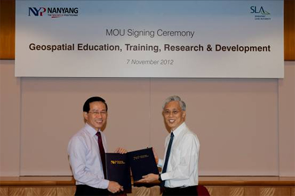
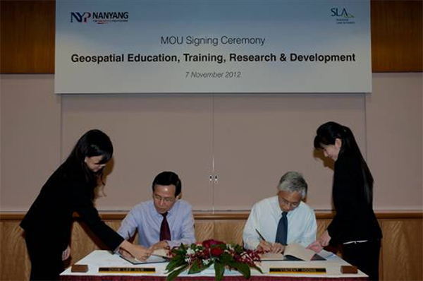
7 November 2012 – The Singapore Land Authority (SLA) and Nanyang Polytechnic (NYP) signed a Memorandum of Understanding today to collaborate on geospatial education, training, research and development. This strategic partnership will enable both organisations to tap into each other’s expertise and resources in promoting the use of geospatial information system and technology in Singapore.
2. In
addition, SLA will award a SLA Geospatial Scholarship annually from 2013 to 2015
to an outstanding final year student in the Geospatial and Mobile Innovation
specialisation track under the Diploma in Information Technology Programme in
NYP’s School of Information Technology (SIT). The SLA GeoSpatial Scholarship
which is open to Singapore Citizens or Permanent Residents, is bond free and has
a cash value of $3,000 per annum. Award recipients will also have priority
placement to complete their polytechnic industrial placement with the GeoSpatial
Division (GSD) in SLA. The scholarship will be coordinated and administered by
NYP.
3. Mr
Lai Poh Hing, Director of NYP SIT, said, “NYP has been developing capabilities
in Geospatial Information System (GIS) through industrial project development as
early as 2009 and some of these engagements include Parks Live for National
Parks Board, whereto.sg for Esri Singapore as well as Pocket OneMap. This
partnership with SLA will create interest and raise awareness for GIS among
students. The new scholarship will also provide the award recipients
opportunities to develop their full potential to venture into the geospatial
industry.”
4. Mr Ng Siau Yong, Director of GeoSpatial Division, SLA, said, “To realise a spatially-enabled society, we hope to groom geospatial professionals through this scholarship to support the geospatial industry growth in Singapore. This will allow Singapore to become an increasingly connected first world city supported by a vibrant geospatial ecosystem.”
5. GIS and technology have gradually transformed the way businesses and society work and communicate worldwide. Riding on this trend, the partnership will enable staff and students of NYP and SLA to explore mobile and geospatial innovations, using OneMap as a platform, to proliferate the use of location-based information and services. This will enable greater and more convenient access to information for Singaporeans. The technological know-how and best practices gathered from the partnerships will also be shared through training programmes co-organised by the two organisations for the public sector and industry, thus facilitating the development of geospatial applications in Singapore.
-End-
Issued by:
The Singapore Land Authority
Nanyang
Polytechnic
7 November 2012
Attachments:
Annex
A: Photographs of the MOU signing
Photographs of the MOU signing
 |
|
SLA and NYP sign MOU to collaborate on Geospatial development |
 |
|
Mr Vincent Hoong and Mr Chan Lee Mun signing the MOU documents |

