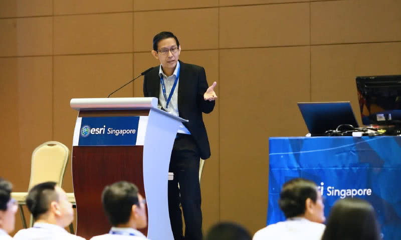
Using advanced rapid mapping technologies, SLA has completed the development of our national 3D map. The 3D map has assisted government agencies in their operation, planning, risk management and policy formulation. SLA was invited to speak and share our 3D mapping project at the world’s largest geospatial conference, the Esri User Conference in San Diego in June 2016.

For efficient land administration and management, SLA has developed a new Geographic Information System (GIS) that integrates different types of 2D and 3D mapping datasets on a single platform. Known as the Singapore Advanced Map (SAM), the system plays a vital role in equipping our officers with essential information for operational planning, situational awareness, risk management, decision-making and policy formulation.

SLA has developed the Utility Survey Standards to achieve a standard procedure and practice to conduct utility surveys in Singapore. These standards provide a detailed process – from the acquisition to the production of utility information. The objective is to improve the reliability of as-built utility data, and ultimately achieve an accurate and homogenous utility database for use across government agencies, to support Whole-Of-Government decision-making and planning needs.