
Geospatial Power
Geospatial Power! RIDEnjoy
22 May 2025
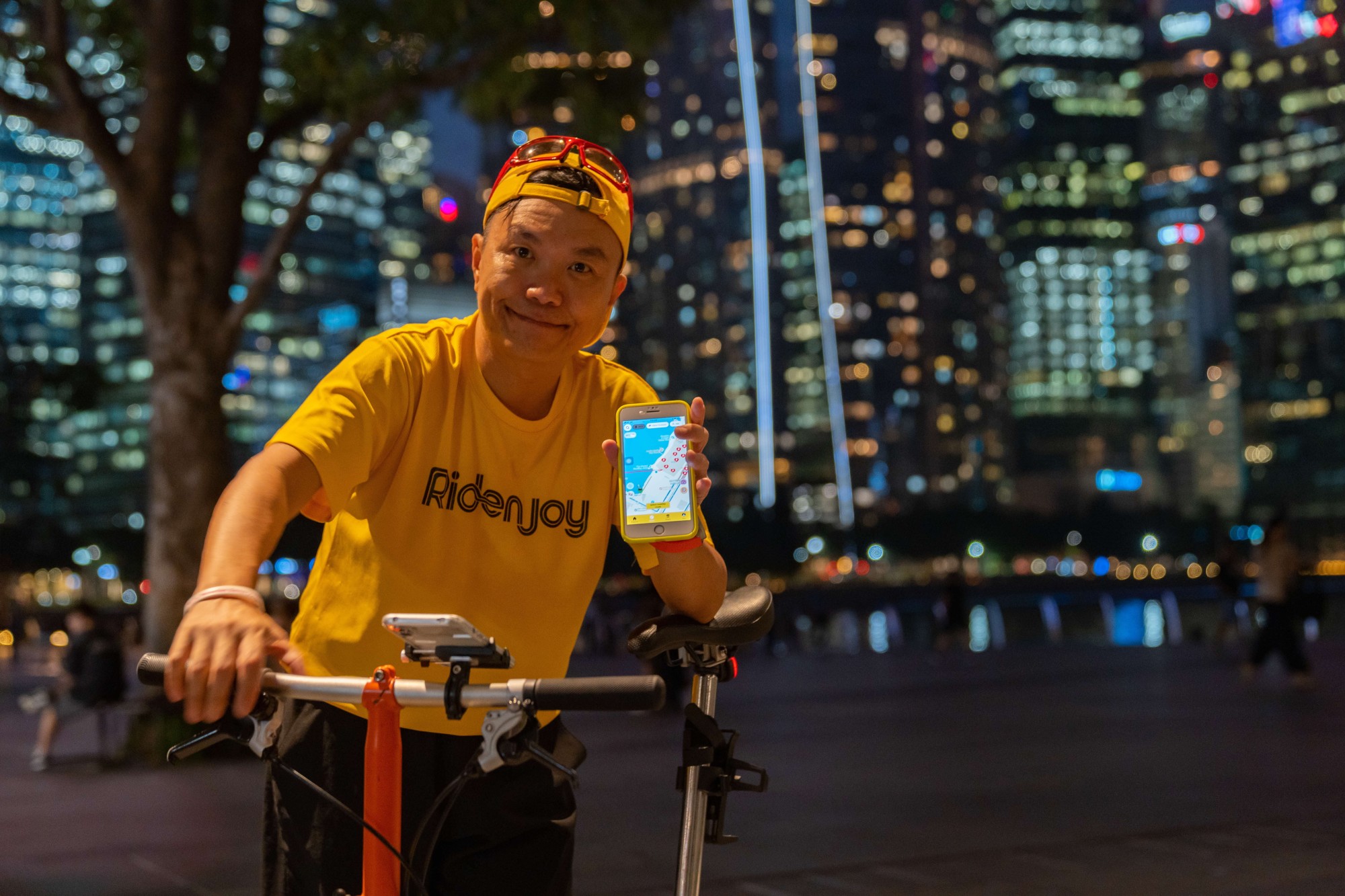
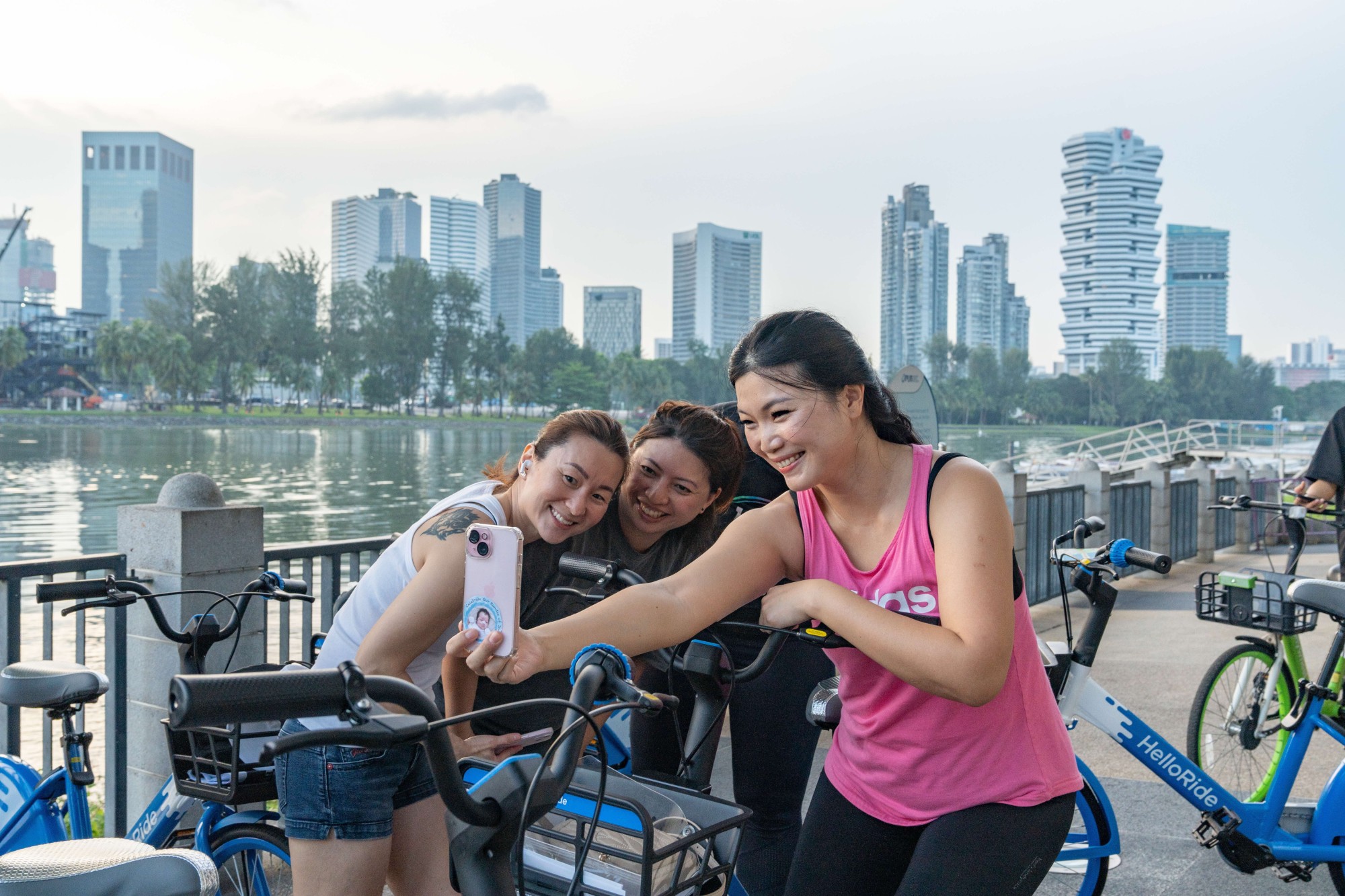
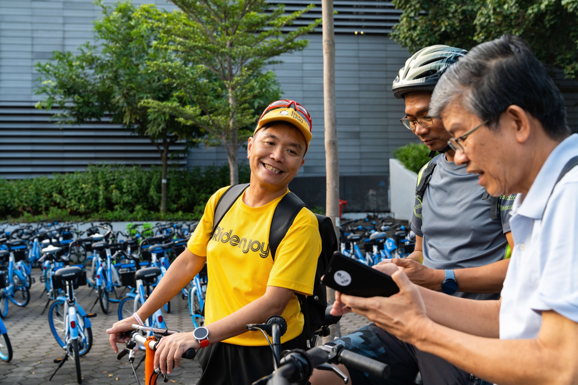
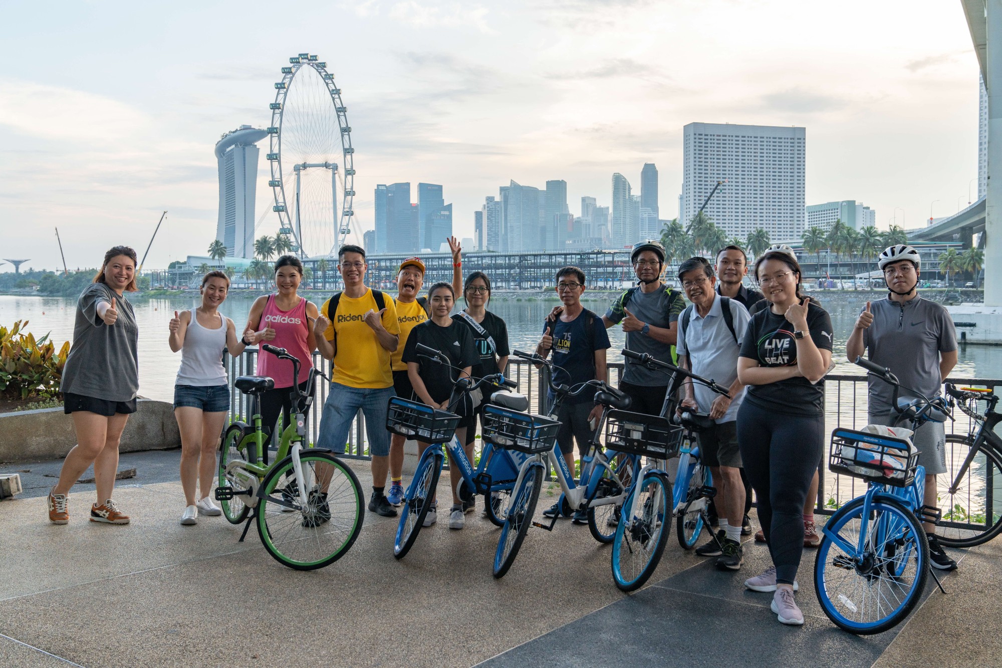
From autonomous vehicles in our last #GeospatialPower feature, we now shift gears to the trusty bicycle! As part of the Singapore Geospatial Festival 2024 in October this year, we joined Kelvin Phang, founder of the RIDEnjoy app, and other avid cyclists for a scenic sunset ride from Kallang to Marina Bay. During the half-hour journey, we chatted about how RIDEnjoy leverages SLA’s OneMap, what sets the app apart, and some exciting plans on the horizon (spoiler alert: a new app is coming!)
What inspired you and co-founder Adrian Tan to start the RIDEnjoy app?
As a lifelong cyclist since the 1980s, cycling was my go-to mode of transport—from college and university to army and even the office until the late 1990s. The COVID-19 cycling boom in 2020, however, brought challenges like road rage between cyclists and drivers, accidents on park connectors, and cyclists unwittingly venturing onto expressways.
In late 2020, I discovered the Blended Events 2.0 Initiative grant by Sport Singapore. Inspired, I decided to create an app to make cycling safer and more enjoyable. With lockdowns and social distancing giving me extra time, I explored various apps to uncover the best ways to cycle around Singapore—and the idea for my app was born.
Why did you decide to use SLA’s OneMap for your app?
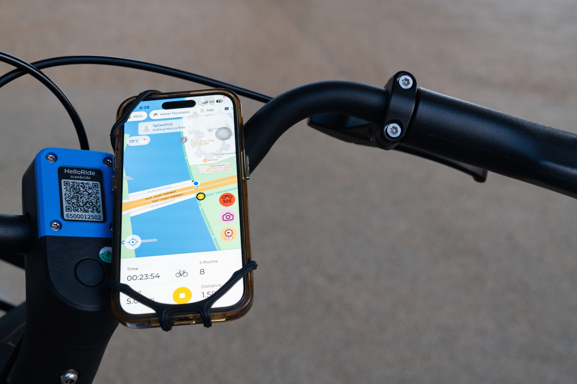
We chose OneMap for our app because it provides a clear depiction of the Islandwide Cycling Network (ICN), with park connectors marked in green (with white dashes and a bicycle watermark) and shared paths in blue. Other maps lack this level of detail, and many cyclists have only realised OneMap’s value for non-road cycling after using RIDEnjoy.
Many cyclists who prefer not to cycle on busy roads now prefer to use RIDEnjoy powered by OneMap as the routing usually shows how to navigate using the PCN and shared paths.
For example, cycling from Ang Mo Kio to the Sports Hub in Kallang is made easy with clear navigation through park connectors and shared paths. While the routes may not always be the fastest, they are tailored for safety and tend to be more scenic.
How about other features along the route that could be useful for cyclists?
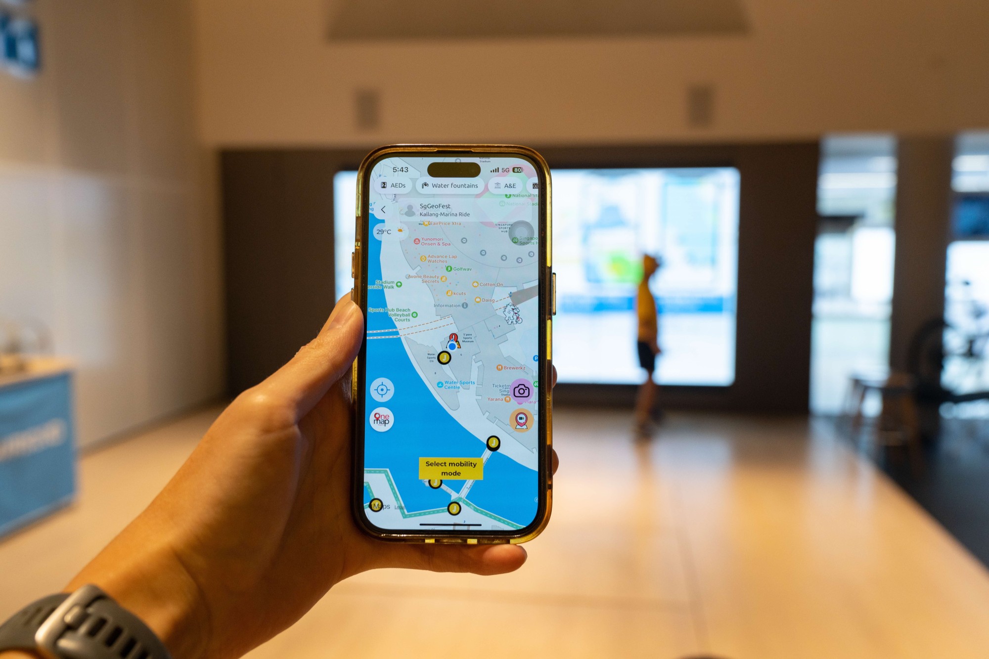
Utilising OneMap’s suite of features, RIDEnjoy includes POI (Pins of Importance) which includes bike parking, covered shelters (in case of rain), location of AED devices, water coolers, A&E locations and more. By tapping one of these POIs in map mode, users can easily locate the nearest amenity on his or her current location.
In MOVE mode, the SOS button alerts emergency services and displays a red cross on the user’s avatar, visible to others within a 2km radius.
We believe this feature could one day be a life-saving one, which will enable users to assist a fellow walker or runner nearby in critical or emergency situations.
What differentiates RIDEnjoy from other cycling apps or groups?
RIDEnjoy is an active mobility reward platform that sets itself apart from apps that focus on sports performance and navigation – it combines location-based tracking with social features and gamified rewards.
Users can see avatars of other cyclists and can report information that will be pinned onto the map, from wildlife sightings to accidents to road works.
Unlike traditional "move-to-earn" apps that reward steps, RIDEnjoy's gamification involves phygital challenges where you have to cycle round island to geo-locations to 'collect' points. These can be redeemed for discounts in the app’s marketplace. In addition, users can also visit participating retailers to collect geo-located rewards, thus increasing foot traffic to these businesses.
RIDEnjoy contains Joy Beacons that bring people together through gamification and augmented reality. What are some of the games users can take part in?
RIDEnjoy uses Joy Beacons to engage users through gamification and augmented reality. The RIDEnjoySG event challenged participants to collect geo-located points and take augmented reality photos at iconic locations, attracting over 15,000 participants and even earning a mention in Parliament.
We will launch a brand-new eco-mobility lifestyle app in 2025 called MOVE&JOY and the launch campaign - Car Free Game - will invite participants to embrace sustainable commuting. The top 456 participants with the most mileage and GHG avoided will qualify for an exciting final with cash and prizes to be won.
Through this campaign, we hope to encourage Singaporeans to go car-free and switch to active mobility modes!
You are launching a new app called MOVE&JOY. Why the change?
Unlike RIDEnjoy (which was supported by SportSG and targeted at cyclists), MOVE&JOY(which is totally self-funded) allows users to choose from 28 different mobility modes, from walking, hiking, running, cyclists, skating...to use of Personal Mobility Devices (PMDs), Power-Assisted Bicycles (PABs) and Personal Mobility Aids (PMAs) and more.
MOVE&JOY will also track the carbon emissions saved by users adopting sustainable commutes like walking or cycling over driving.
In Singapore, transport contributes around 15% of our total greenhouse emissions. Internal Combustion Engine (ICE) vehicles generate approximates 0.2 kg of CO2 per kilometre. Hence, if a person cycles or runs 20km (to and fro work) instead of driving, he or she can save 20kg of CO2e in 1 week (five workdays) alone.
How many downloads does RIDEnjoy have so far?
RIDEnjoy has seen about 28,000+ downloads and its primary audience is cyclists.
The new app MOVE&JOY is expected to attract a bigger audience as it will reward the use of sustainable modes of travel from active mobility to mass transportation.
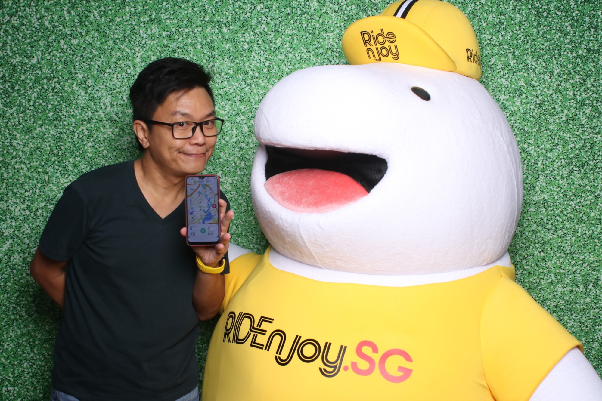
Why is the mascot (Kobi) a dinosaur?
Our mascot is a dinosaur and we know Singaporeans love their 'monsters'...from Labubu to Pikachu. We also have many dinosaur-themed playgrounds and Jurassic Mile at Changi Airport, so we knew our avatars and mascot will be a hit.
Kobi is short for Yorokobi, which means Joy in Japanese. As we become MOVE&JOY, we will be introducing more 'dinosaurs' as avatars in the app. Eventually, we want to allow users to get free items to dress their in-app avatars.
Oh yes, and look out for Kobi-inspired merchandise and plushies too!
What are your future plans for the app?
We hope to make MOVE&JOY a self-serve platform for teams, businesses, non-profit organisations and government agencies to engage their audiences and potentially generate revenue through location-based event challenges and retail.
We also hope to add AI co-pilot features and integration with wearables!
SLA’s #GeospatialPower series highlights individuals and companies utilising SLA’s #geospatial data, technology, and infrastructure to create innovative solutions for a smarter, safer, and more sustainable Singapore. The article has been updated in 2025 to reflect the latest for MOVE&JOY.