Limited Land Unlimited Space
Optimising land resources for the economic and social development of Singapore
What we do
Properties
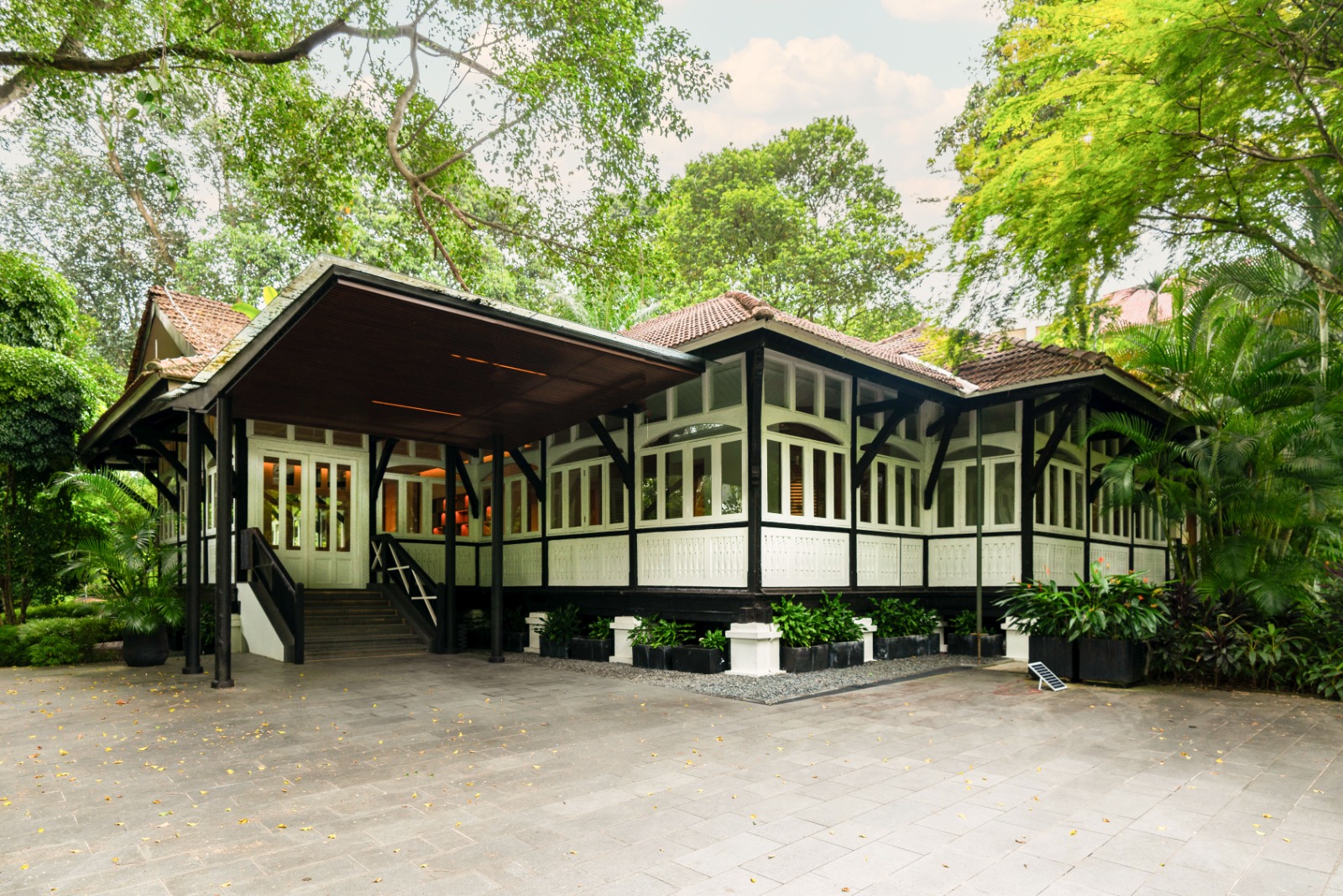
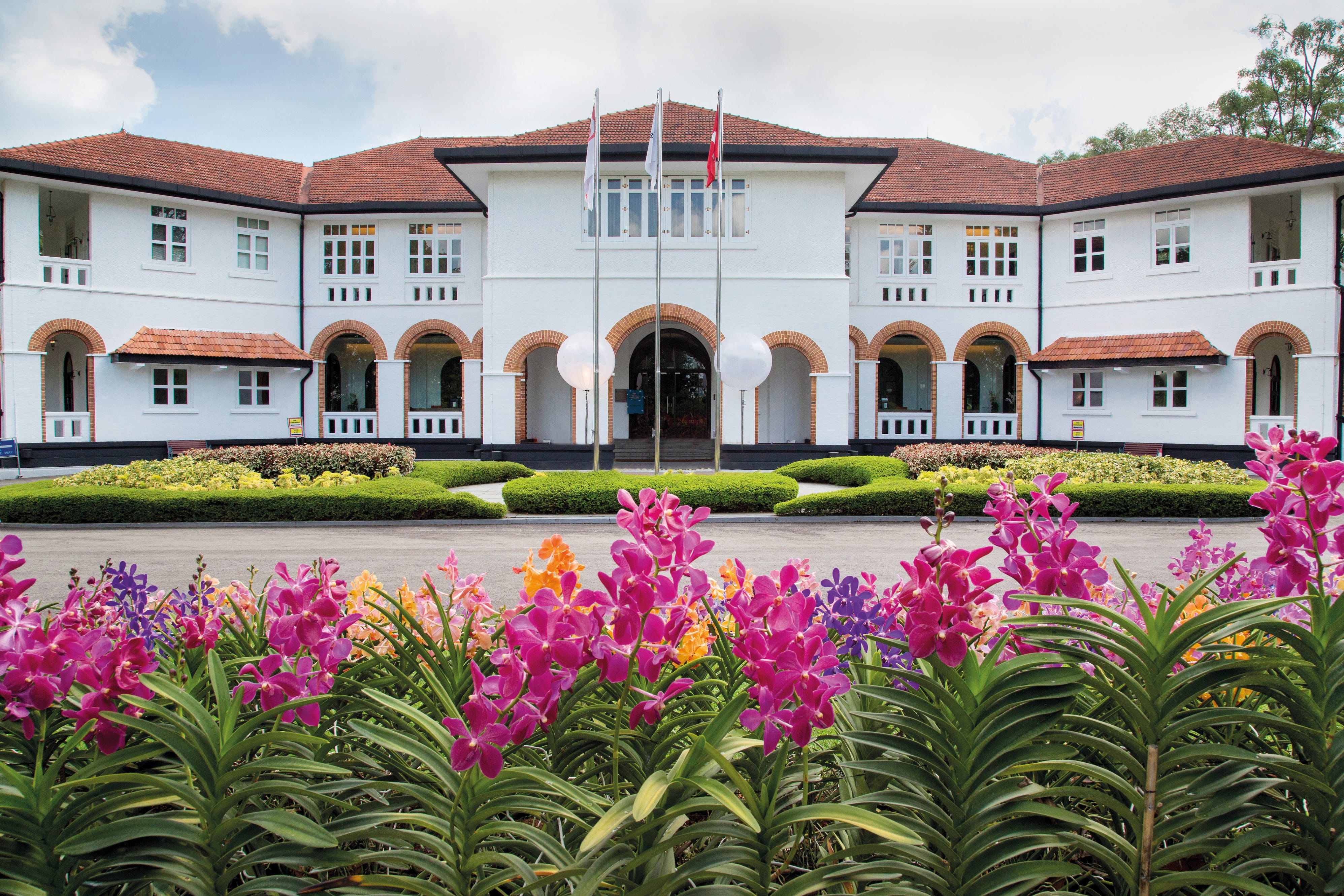
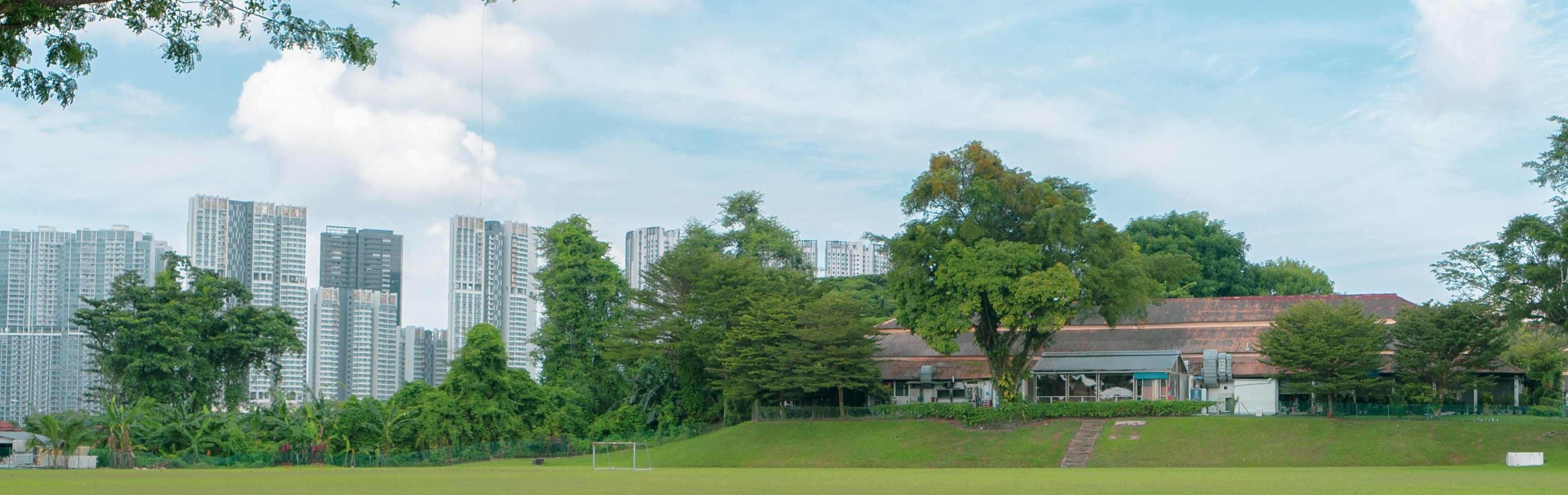
As the custodian of State assets, we manage 11,000 hectares of land and 2,600 properties, optimising them for creative new uses.
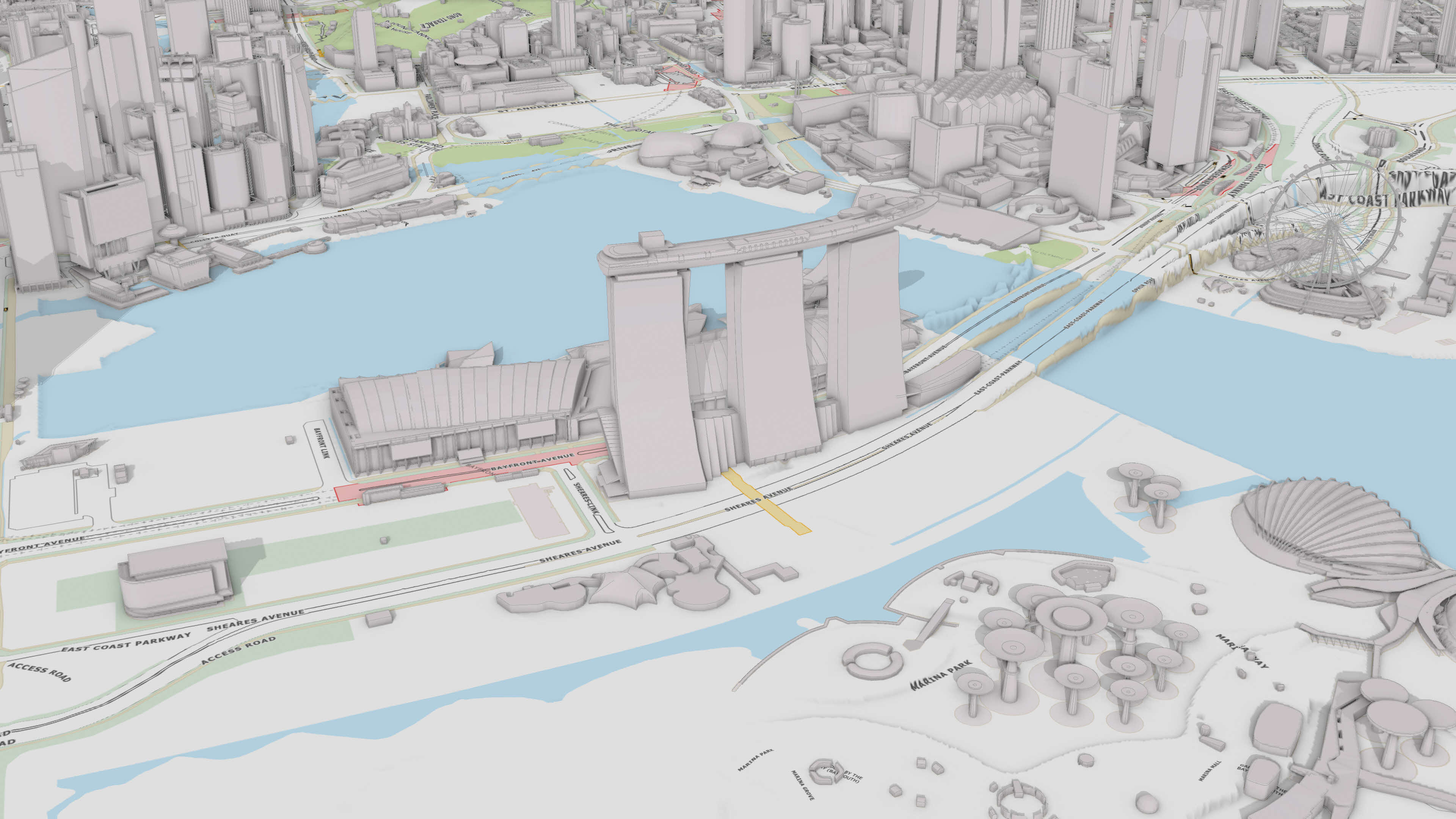
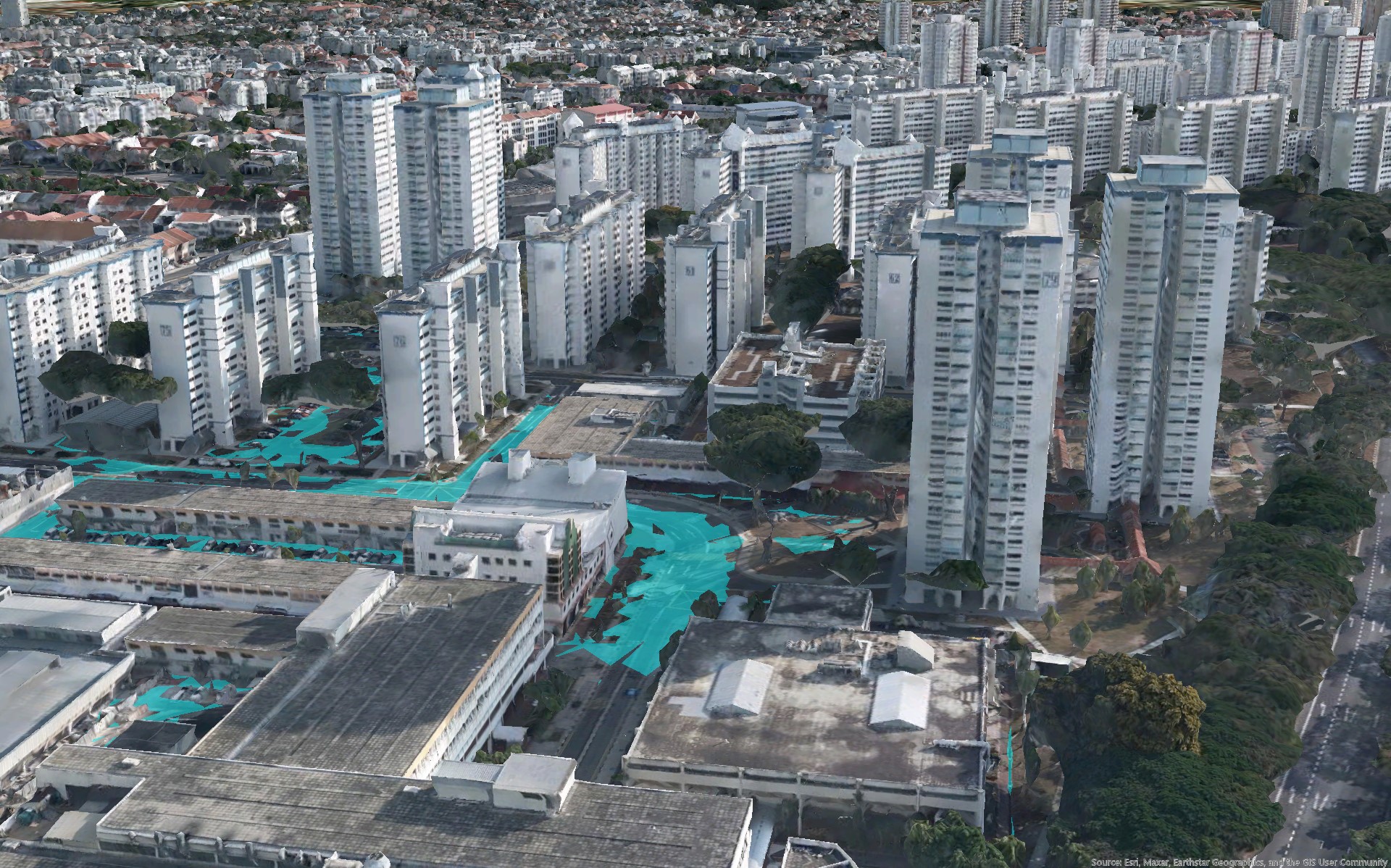
Geospatial
We drive the national development of geospatial technology and data by fostering innovation and public-private-community collaborations.
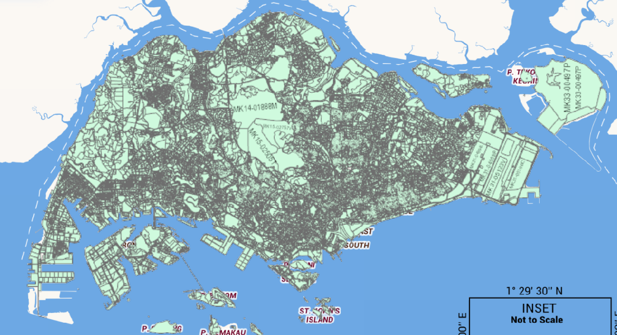
Regulatory
In our role as the national land registration and land survey authority, we ensure accurate records of land ownership and boundaries.
What's happening
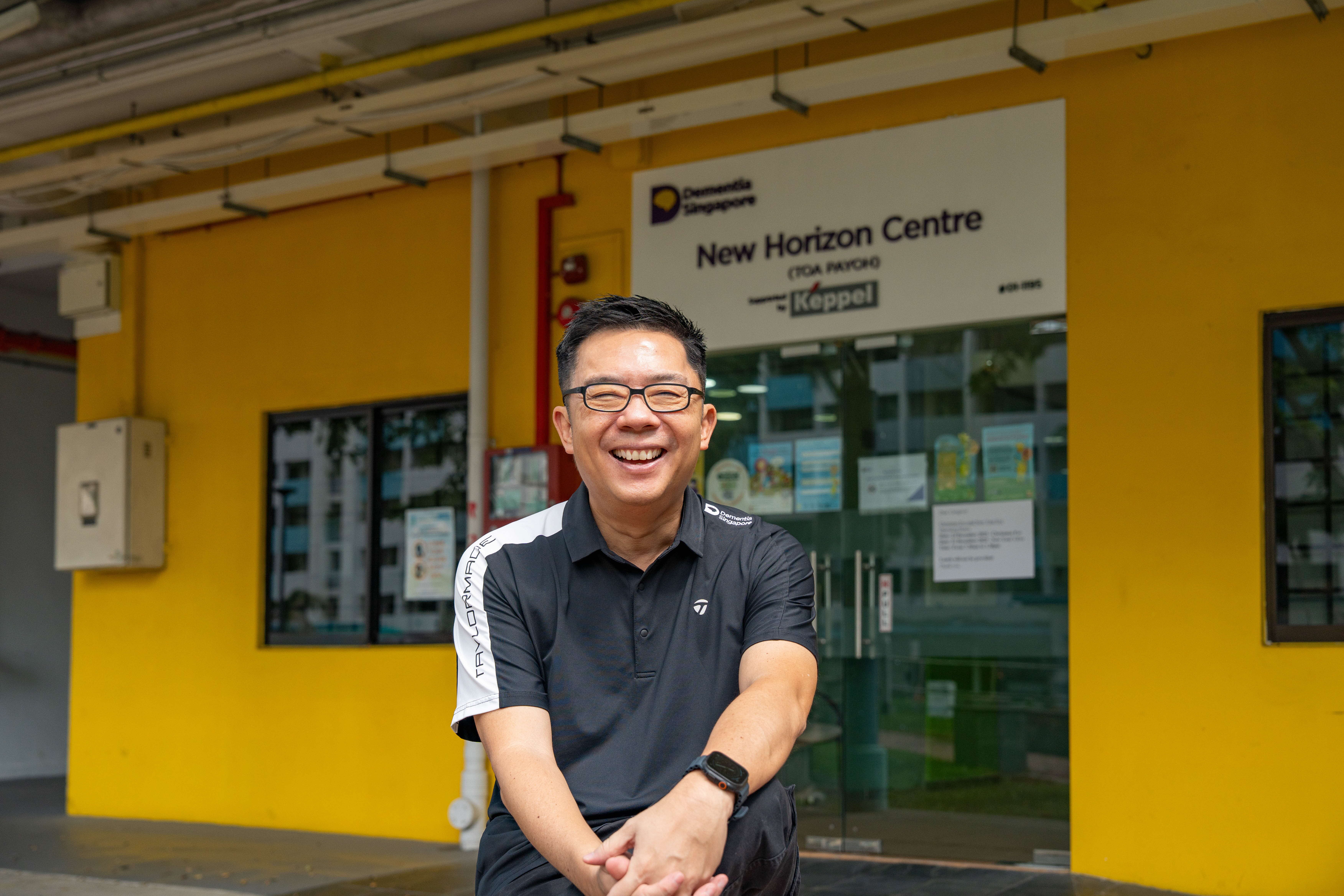
Geospatial Power! Dementia Singapore
An honest conversation with Bernard Lim on dementia as a growing condition in Singapore, the role of SLA's OneMap in locating missing persons with dementia, and what it takes to build a more dementia-inclusive Singapore.
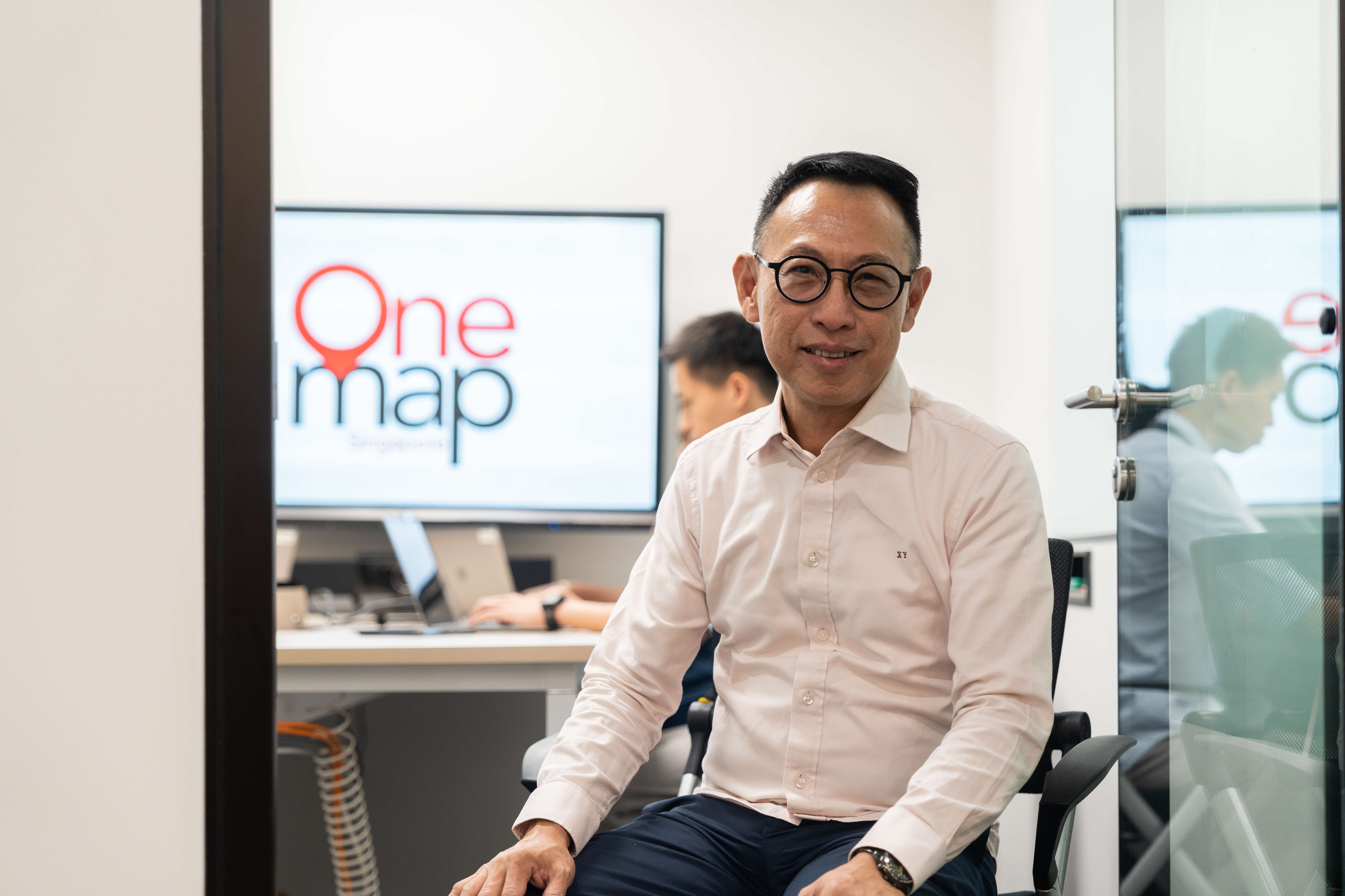
Mapping a Nation: The Story of OneMap
An interview with Mr Ng Siau Yong, SLA’s Director of Geospatial and Data Division, and Chief Data Officer
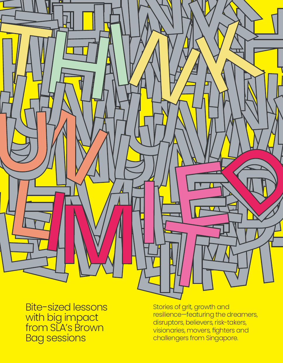
Launch of Think Unlimited - SLA's newest corporate publication
Think Unlimited brings together 21 voices from SLA’s Brown Bag series to mark Singapore’s 60th birthday.
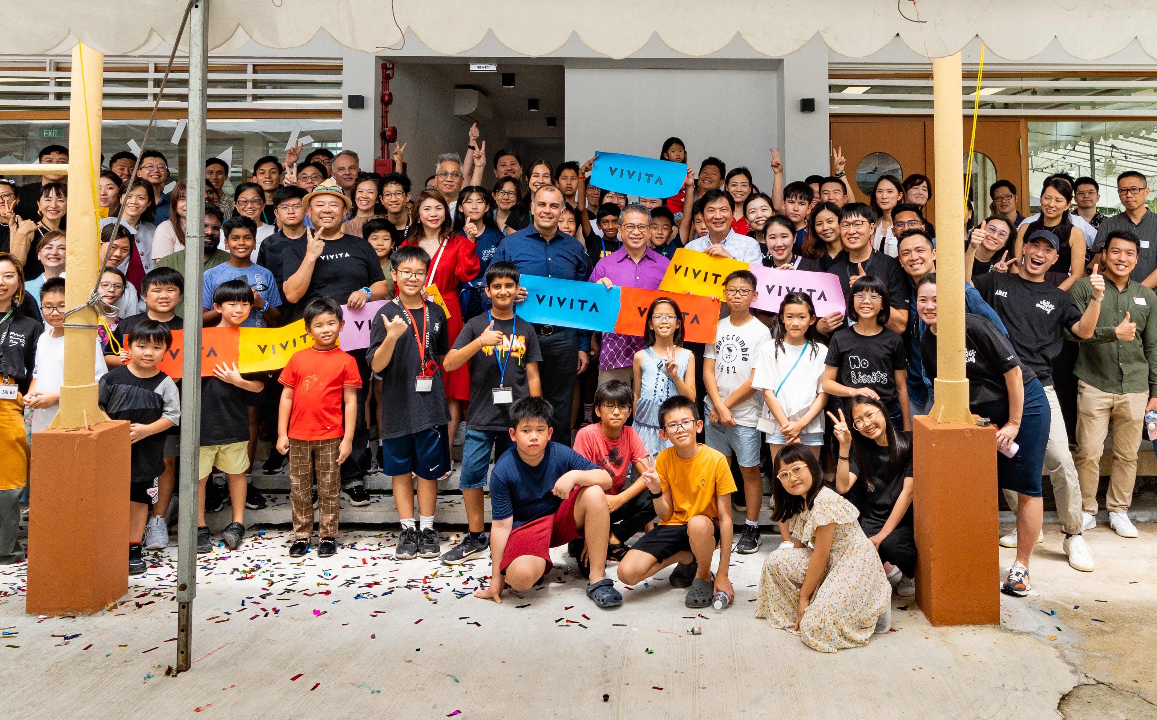
Rejuvenating spaces and creating vibrant communities
Our proactive efforts to engage diverse stakeholders has breathe new life into State assets, rejuvenating them as homes for artists, businesses, social enterprises, and sustainability champions.
Building a geo-enabled Singapore
Together with our partners, we are building geospatial ecosystems and capabilities to empower wide-ranging sectors for a more efficient, inclusive and sustainable Singapore.
Upholding trusted regulatory framework and systems
As steward of Singapore’s property and ownership information, we continuously refine our processes and systems to uphold efficiency and readiness for the future.
Join us in shaping Singapore’s geospatial and urban landscape
At SLA, your work will have a direct impact across communities. Join our team for a career that empowers citizens and businesses through State assets optimisation and geospatial technology.
Unique space solutions
From heritage structures to modern buildings and open State land spaces. The State assets we manage offer opportunities for unique experiences and creative ventures.