|
Home >
Settings >
Archives >
May 2020 >
Far Up & Up Close
Far Up & Up Close
May 28, 2020

Michael Sim
Senior Manager, Geospatial Industry Development
GeoWorks / Singapore Land Authority
As I sit here at home, staring out the window at the mixture of residential buildings, commercial malls, newly-paved roads, and open green spaces, I am reminded of an old Albert Einstein quote, that states ‘you can’t use an old map to explore a new world.’ And how the world has changed! In just a short few months, the normal way of how you live your life has changed, perhaps irrevocably. The mundane truths of working in office, going to school, shopping for groceries, watching movies, even getting a haircut, all take on a new complexity purely from the presence of COVID-19 and the (near) absence of social contact. As life slowly winds its way back to ‘normality’, there is now the realisation that the old habits of living need a new evaluation in order to adjust to our current reality.
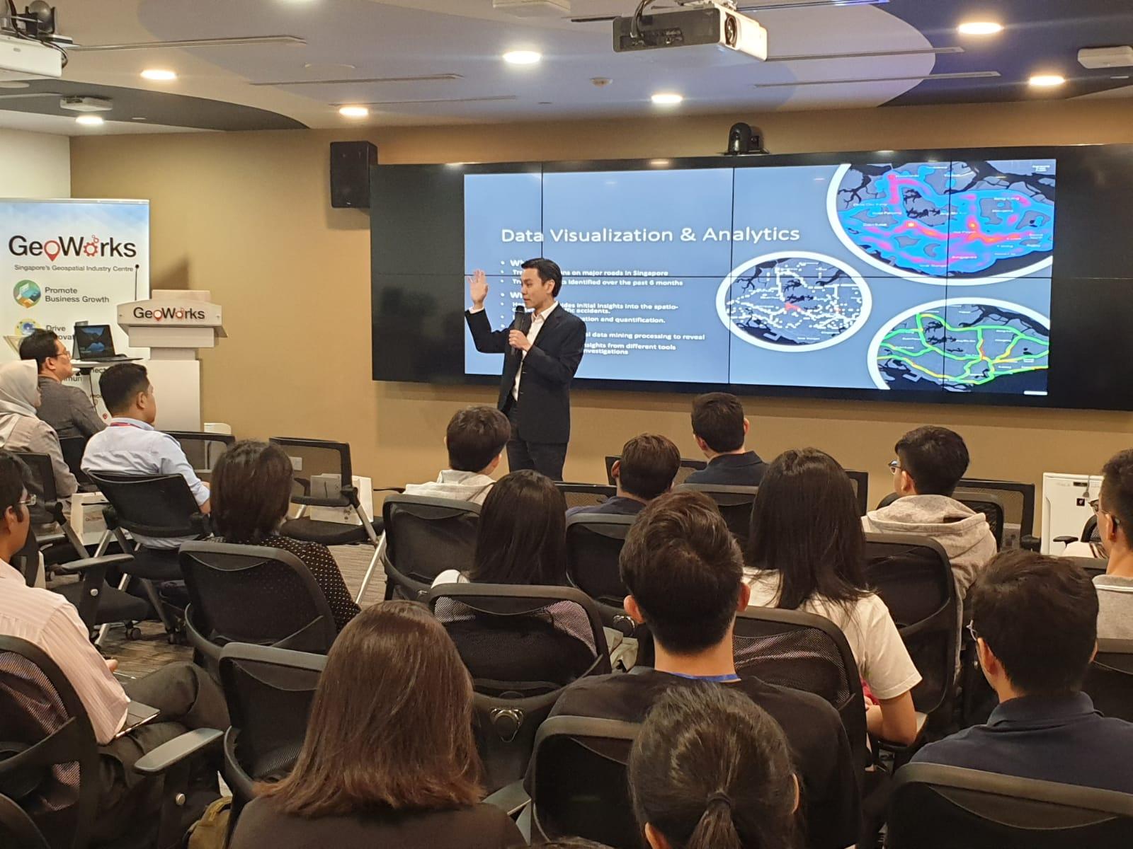
In this new world, the demand for geospatial technology and data has been increasing exponentially. While the need has always been there pre-COVID, there is a renewed urgency to use geospatial information and technology now, to inform how we can operate in the future. How do we use geospatial data to analyse movement patterns in order to predict crowds? How do we alleviate such problem areas in the first place? How do we even predict the speed and direction of infection? Now more than ever, businesses are conscious of the need to have maps reflect as accurately as possible, to track the movement of goods and services across Singapore. Individuals, through their own clever initiatives, use maps to access quick conveniences or locate nearby food stores in order to support local hawkers hit by this crisis.
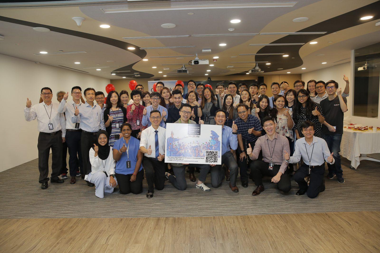
GeoWorks’ main purpose of growing and supporting the geospatial industry now, more than ever, takes on a specific clarity. By helping the geospatial industry innovate in order to solve planning and operational problems; by helping companies use geospatial technology and data to optimally understand the impact of movement (of people, goods, vehicles and the like) across Singapore; by encouraging a deeper understanding of how geospatial can impact the lives of everyday people in Singapore, GeoWorks can serve as that marketplace of ideas to accelerate adoption of geospatial to those frontliners in most need to solve their pressing challenges.
Towards this aim, we are happy to announce the launch of this GeoBlog today. In it, we will explore new ideas, new technologies, and new scenarios that use geospatial in interesting and fruitful ways. Already, we’re delighted to have many geospatial companies and institutions willing to contribute their thoughts and ideas of how geospatial can help businesses and the public sector improve their operations.
In many ways, we hope our GeoBlog will provide an outlook of the future of our geospatial industry that is both detailed and informative. A little far-out, but certainly up-close GeoBlog, that does not necessarily show the old ways of doing things but demonstrate new ways to make sense of our lived-in three-dimensional world. If you somehow found your way here and would like to know more about GeoWorks or geospatial, then welcome. Take a seat. Rest your feet. We’re happy to show you around.