
|
Home >
Settings >
Archives >
February 2022 >
Meet a GeoTech: Operva AI
Meet a GeoTech: Operva AI
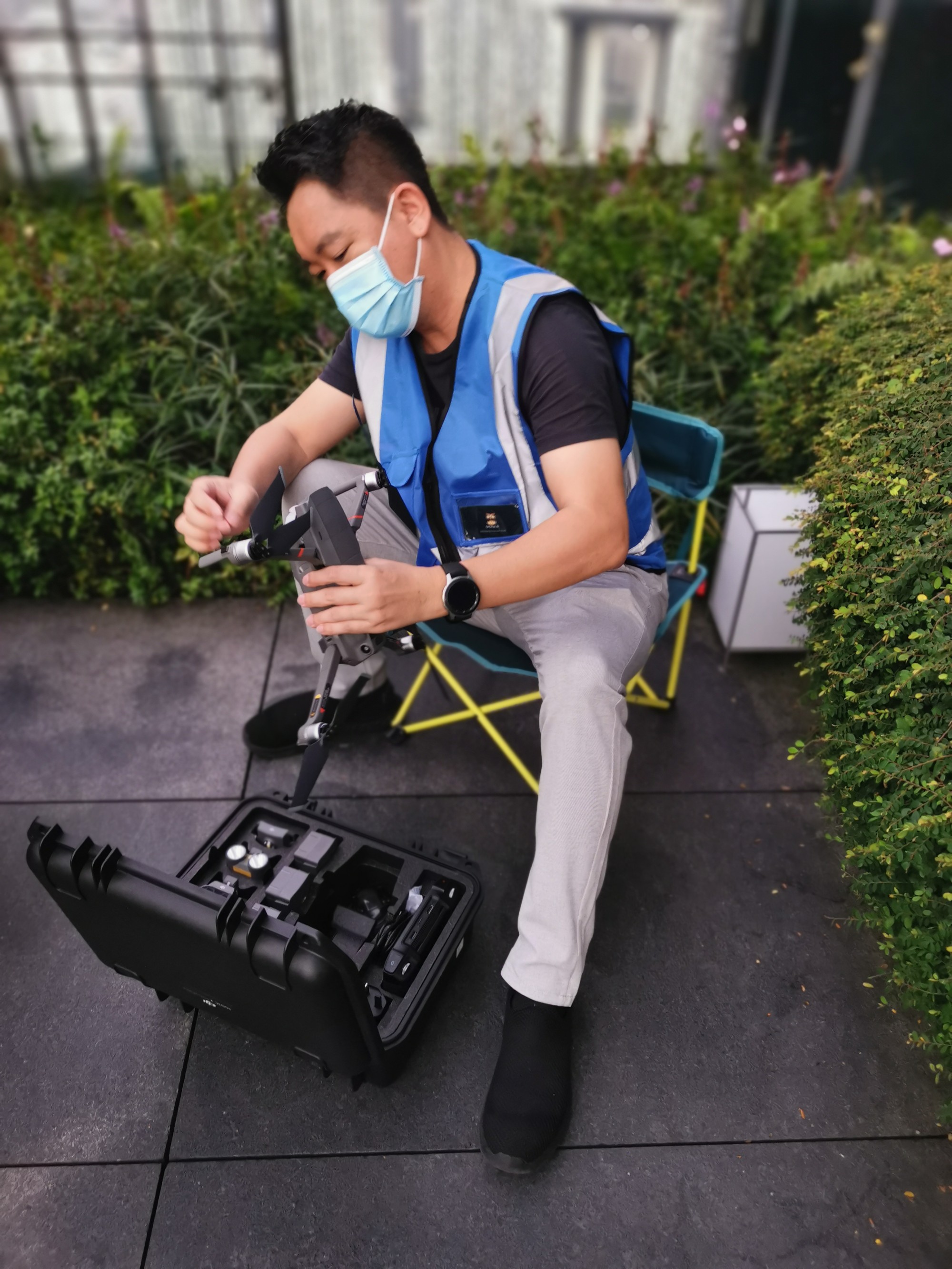
In this “Meet a GeoWorks’ GeoTech” series, we spoke to Operva AI’s Co-Founder Chris Chua about his company, solutions and challenges faced.
1. Tell us about your company and its solutions.
Operva.AI is an exciting technology company that helps asset construction and maintenance professionals build and maintain smarter, faster, and safer. At OPERVA AI, we gel over the rapid growth with innovative products and solutions, and constantly challenging the status quo.
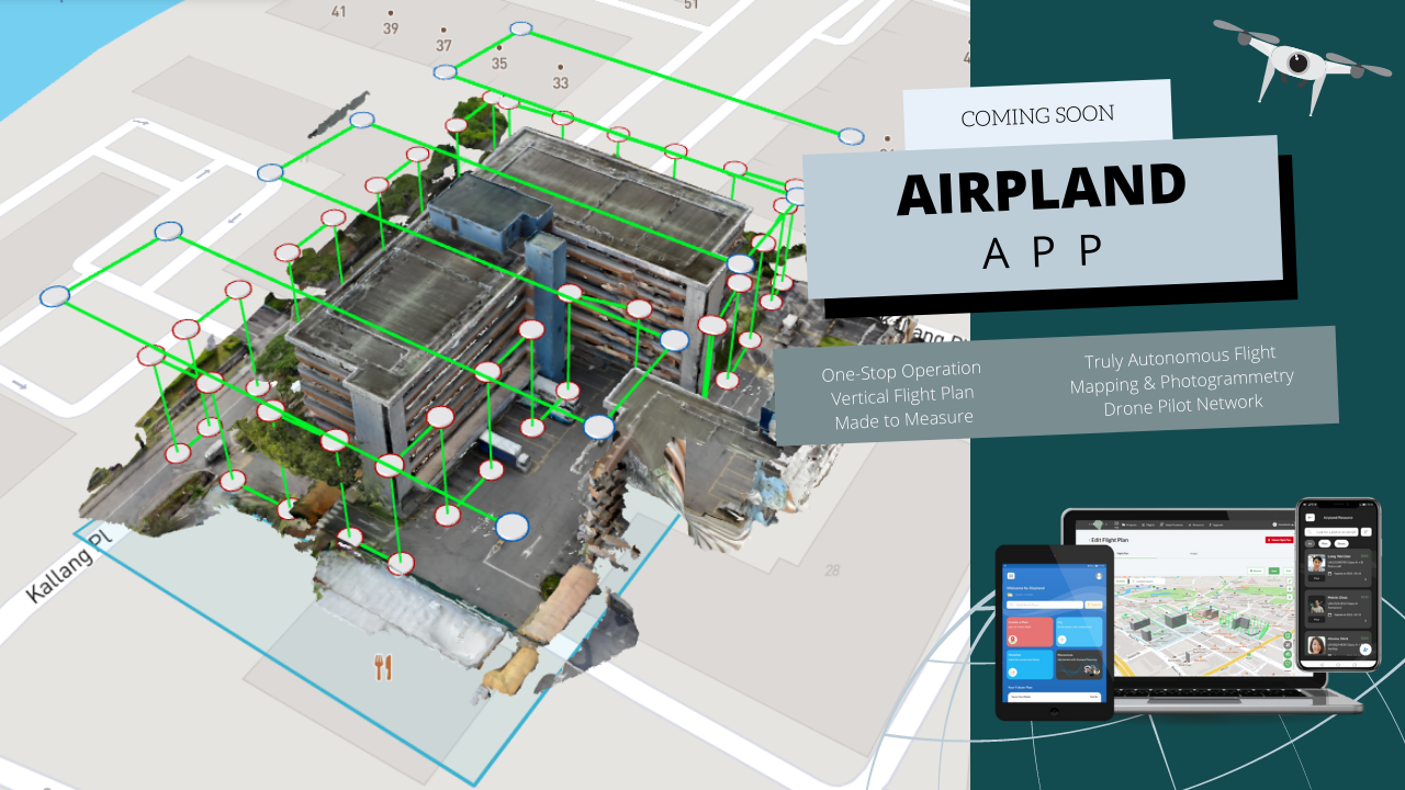
Our drone photogrammetry app creates a simple and seamless experience for drone operators with minimal human intervention, by intelligent flight planning and data management. The app reduces flight planning and execution time by 30% and improves the data quality drastically. The operator simply marks the area of operation, uploads the approved permit. The app automatically plans out the rest for you – from checking the weather, plotting out the flight path, and calculating the speed and camera shots to carry out the complete photogrammetry process. The operator executes the flight with this same app from the recommended flight path with the flexibility to take over control and fly the drone manually. After flight completion, the images are automatically uploaded to the cloud for processing. Once the 3D model is generated, the operator will receive a notification and will be able to view the model remotely. The end product also aims to allow the operator to manage the company's resources, such as assigning pilots and drones or even hiring pilots and leasing drones through the app.
2. What is something about your company that the general public might not know about?
Operva.AI started off as providing inspection services using drones for façade inspection. Through the complementary skillsets of the team, we started to develop our own software to control the drones in order to optimise this process. We had also received similar feedback from the construction industry where they face similar challenges using drones.
3. What are some challenges you have faced in your work?
When carrying out drone inspections, drone pilot faces huge amount of pressure from ensuring the safety of the drone by constantly controlling the drone and checking for any ground risks. Post processing of the data takes up tremendous amount of time in organising the images taken to create the photogrammetry.
4. How has your experience with GeoWorks been?
The experience with GeoWorks has been pleasant so far. We had two meetings with GeoWorks where we introduced our product and GeoWorks shared about the GeoInnovation programme with us. We are excited to be part of this programme and looking forward to embarking a new journey with GeoWorks.
5. How does geospatial technology help you in your work?
Our work deals with a lot of map data as we plan the flights for the drones. Accurate and timely information is required in order for us to plan the drone flights safely.
6. Are there any challenges that come with working with geospatial technology?
In dense urban environment where tall buildings that are close to each other, the amount of GNSS coverage and RTK signal is limited. This limits us in the ability to capture high accuracy results from the drones.
7. In your opinion, what skills are needed to work in the geospatial industry?
The ability to analyse the information needed and aggregate the information so as to provide insights for the problem area where the business is trying to solve.
8. Do you have any advice for aspiring entrepreneurs?
Don’t be afraid to fail and try to move a step forward to your idea. There might be many turns before you reach your destination, yet each turn is a new learning moment for you. You will never know this might be [a] useful lesson for you in the future.